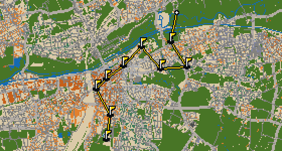
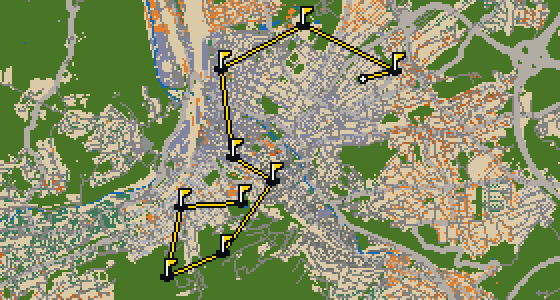
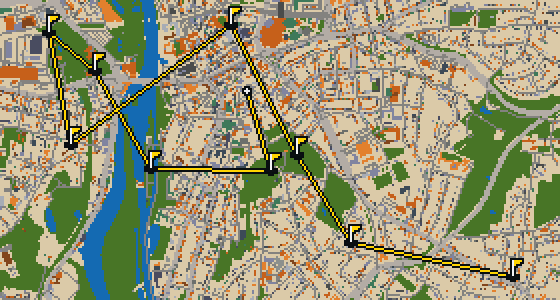
THE GÖRLITZ ROUND - STOP BY STOP


Wilhelmsplatz
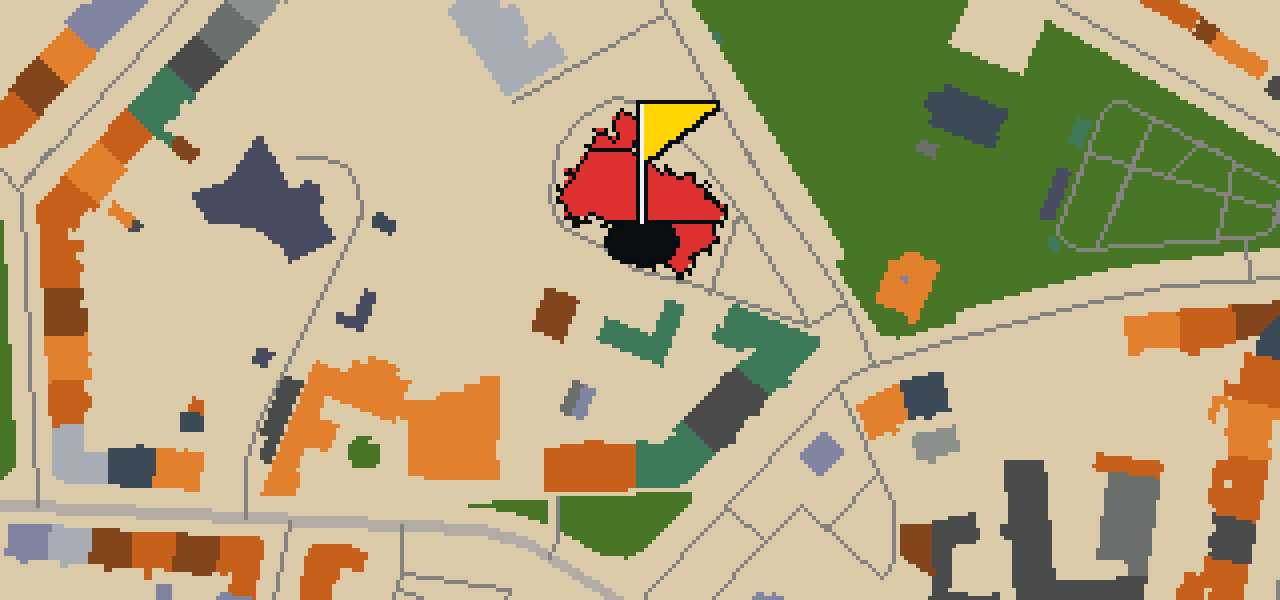
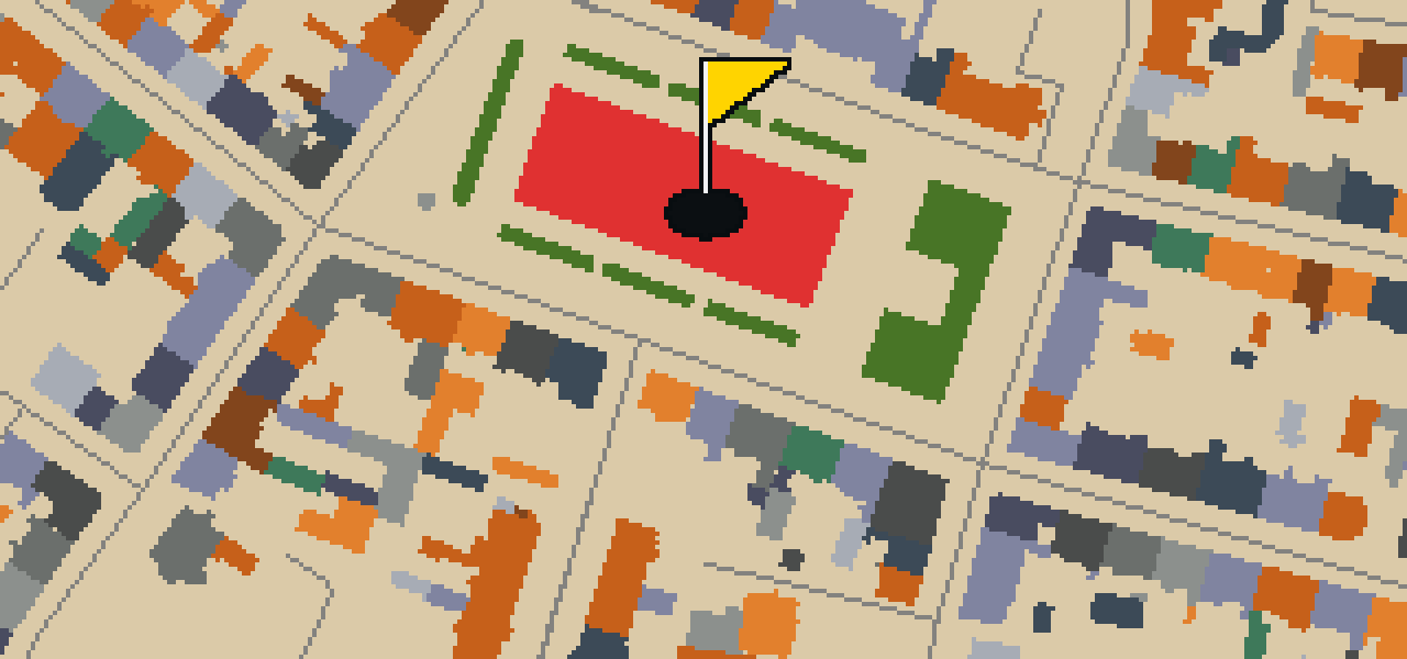
Let me show you Wilhelmsplatz. Work on this square began in 1848, and it has since become a significant part of the local area. It is a heritage monument in Saxony that functions as both a park and a street. You can pick out the blend of nature and urban design as you walk through the space. I find it is a great spot to stretch your wings and take in the surroundings. It is a useful place for visitors to pause and appreciate the history of the city's layout.
Kulturforum Görlitzer Synagoge
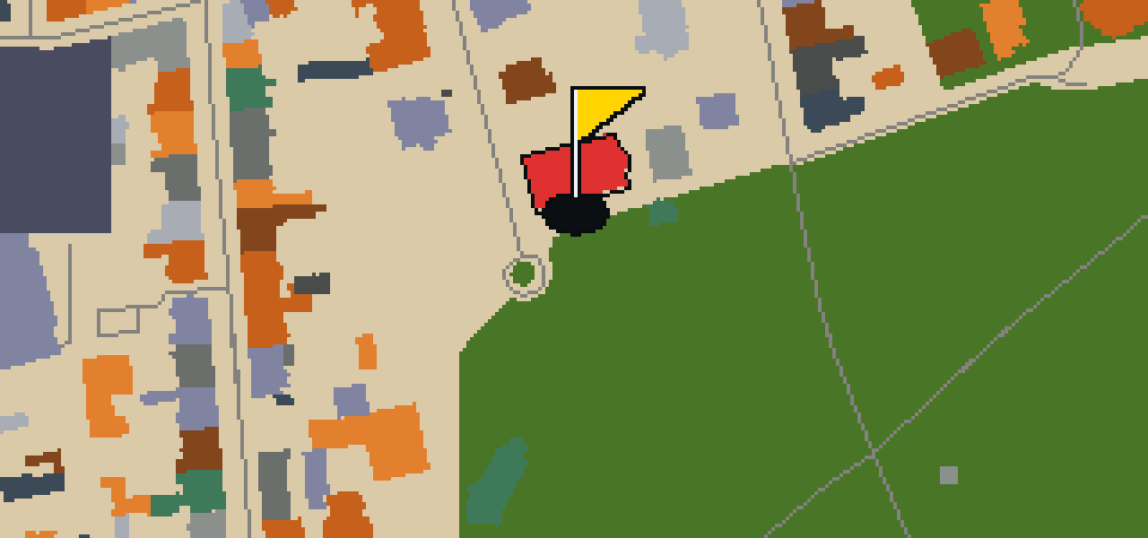
You will first notice the Art Nouveau style of the Kulturforum Görlitzer Synagoge on Otto-Müller-Straße. This synagogue, designed by architect William Lossow, was built between 1909 and 1911. It is a heritage monument in Saxony and served as the main place of worship for the city's Ashkenazi Jewish community. The structure is significant for having survived Kristallnacht despite an arson attack. Visitors can observe the architectural details of the building, which was started in 1911 and stands as a testament to the history of the Jewish community in this part of Germany.

Rathaus
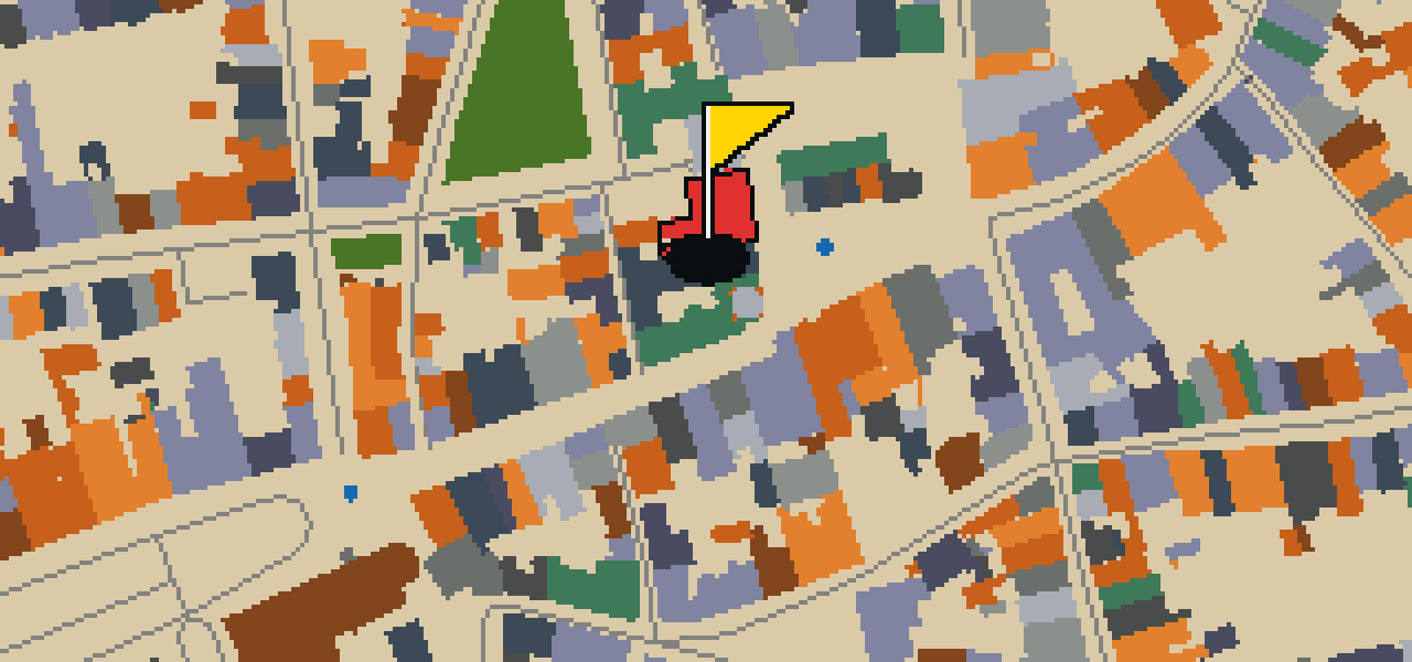
Let me show you the Rathaus, which is located on the Lower Market Square 6–8. This Gothic heritage monument is unique because it utilizes several buildings from different epoches to create its structure. It has been the place of the city's administration and jurisdictions since 1350, and the Görlitz council first mentioned the building in a document in 1369. While the exterior is striking, the interior dates back partly to the Renaissance and baroque periods. I've noticed the architecture here makes it a great spot to watch the crowds gather below.

Heiliges Grab
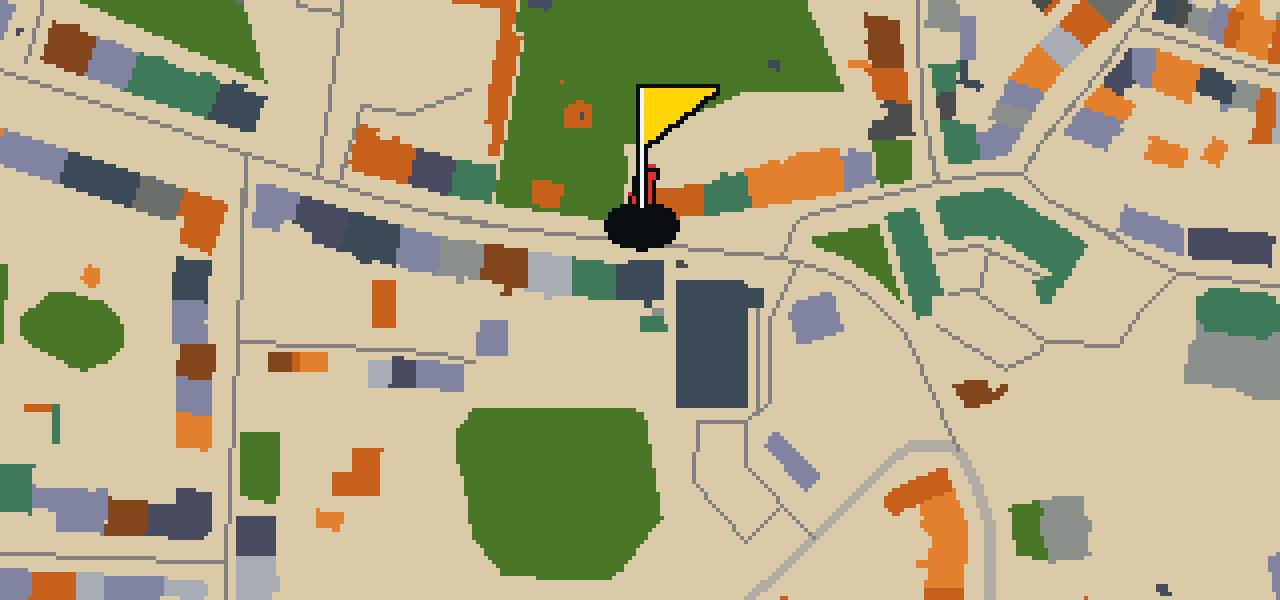
You will first notice the Gothic architecture style of Heiliges Grab. This site is a chapel and a park that is recognized as a heritage monument in Saxony. It was started in 1481 and was designed by the architect Conrad Pflüger. Visitors often come to this location to see the specific design elements of the Gothic style and the surrounding park grounds. As a heritage monument in Saxony, it provides a direct look at the architectural priorities of the late fifteenth century.
Senckenberg Museum für Naturkunde Görlitz
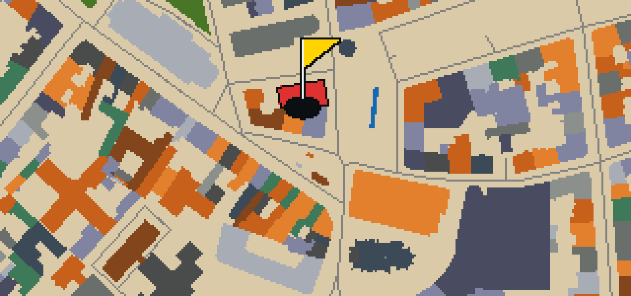
Let me show you the Senckenberg Museum für Naturkunde Görlitz. This natural history museum in Saxony, Germany, is a Kulturdenkmal founded in 1860. You can pick out exhibits focusing on geology, botany and zoology while you visit. Beyond the public displays, it functions as a research institute with a primary focus on soil biology. Since 2009, the museum has been part of the Senckenberg Gesellschaft für Naturforschung. It is a great spot to see how the city balances its heritage with active scientific study.
Stadtkirche St. Peter und Paul
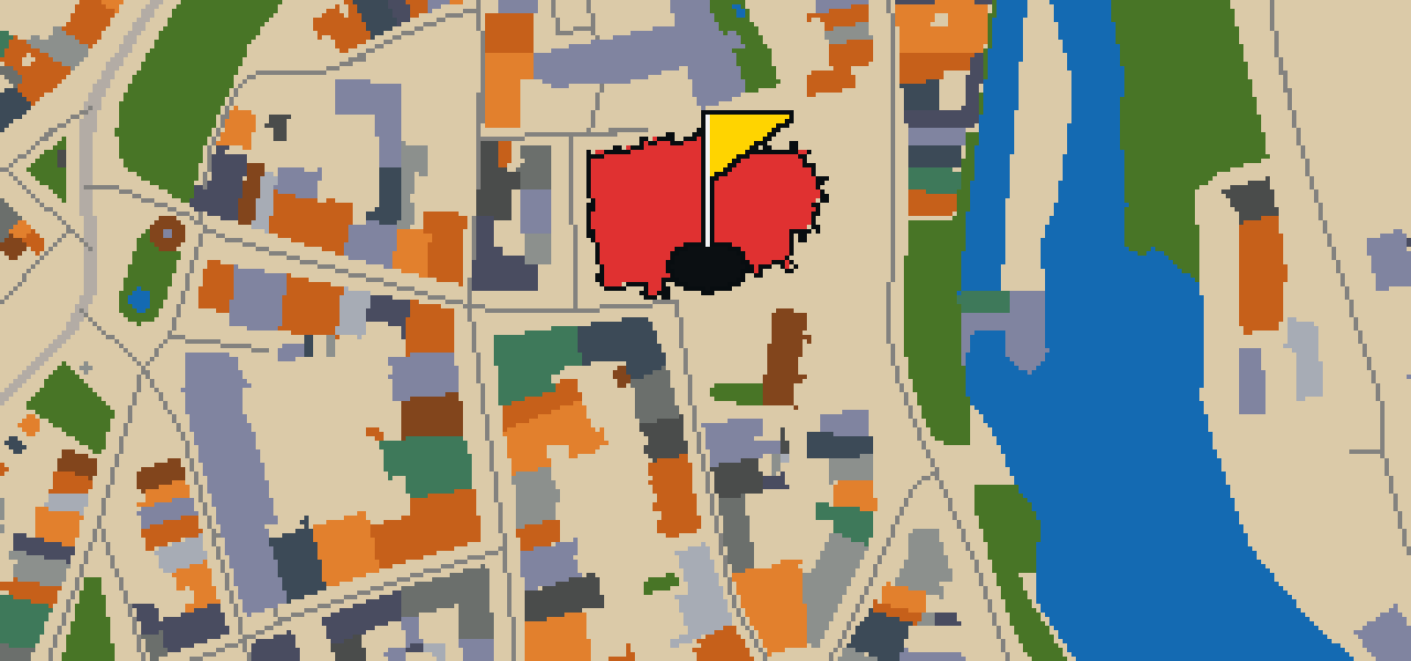
Stadtkirche St. Peter und Paul is a church building that was started in 1230. It is built in the Gothic architecture style and is recognized as a heritage monument in Saxony. You can see the work of architect Conrad Pflüger in the structure, which reaches a height of 84 meters. This location is an important point of interest for anyone visiting the city, regardless of whether they are playing through the streets or simply exploring the local history and architecture of the region.
Finstertor
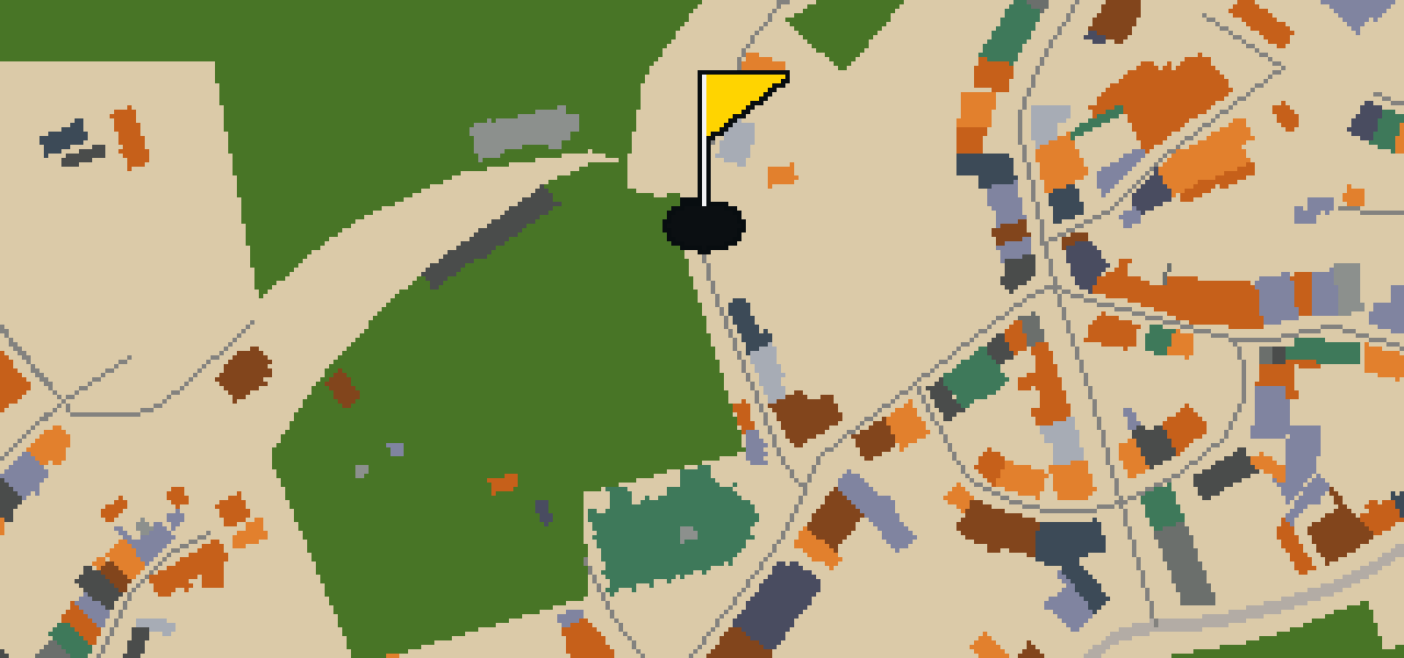
Let me show you Finstertor, a cultural heritage ensemble that has stood in Görlitz since its inception in 1455. It is a significant piece of the city's history and is recognized as a heritage monument in Saxony. You can pick out the enduring masonry that has survived centuries of change while you walk the streets. I have always found that the older stones in this part of town have a certain character to them, which makes this particular spot a favorite for those who enjoy the feel of the old city.
Dreiradenmühle Zgorzelec
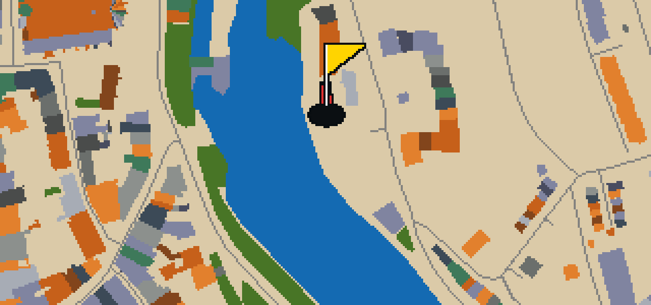
Let me show you the Dreiradenmühle Zgorzelec. Located here in the city, this site is a watermill. It is a point of interest for those visiting the area and wanting to see the local architecture. I've noticed it's a peaceful spot to pause during your walk.
Dreifaltigkeitskirche
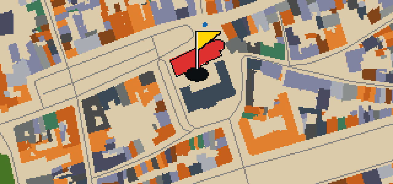
Located in the heart of Görlitz, Dreifaltigkeitskirche is a church building that stands as a key part of the city's skyline. It is built in the Gothic architecture style, featuring the pointed arches and verticality associated with that period. Beyond its appearance, the building is designated as a heritage monument in Saxony. Records show that the construction of Dreifaltigkeitskirche was started in 1234, making it an enduring presence in the local community for many centuries.
Postplatz
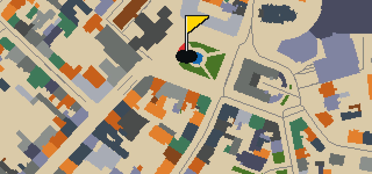
Look at the green spaces first, then you will see how they blend into the wider area. Postplatz is a square and a park that serves as a central point in Görlitz. The development of this site was started in 1845. I always find it a relaxing spot to pause while navigating the city streets, especially when you want to step away from the buildings for a moment. Whether you are here for the history or the greenery, it is one of the most recognizable open spaces you will encounter during your time visiting this part of town.
Lutherkirche
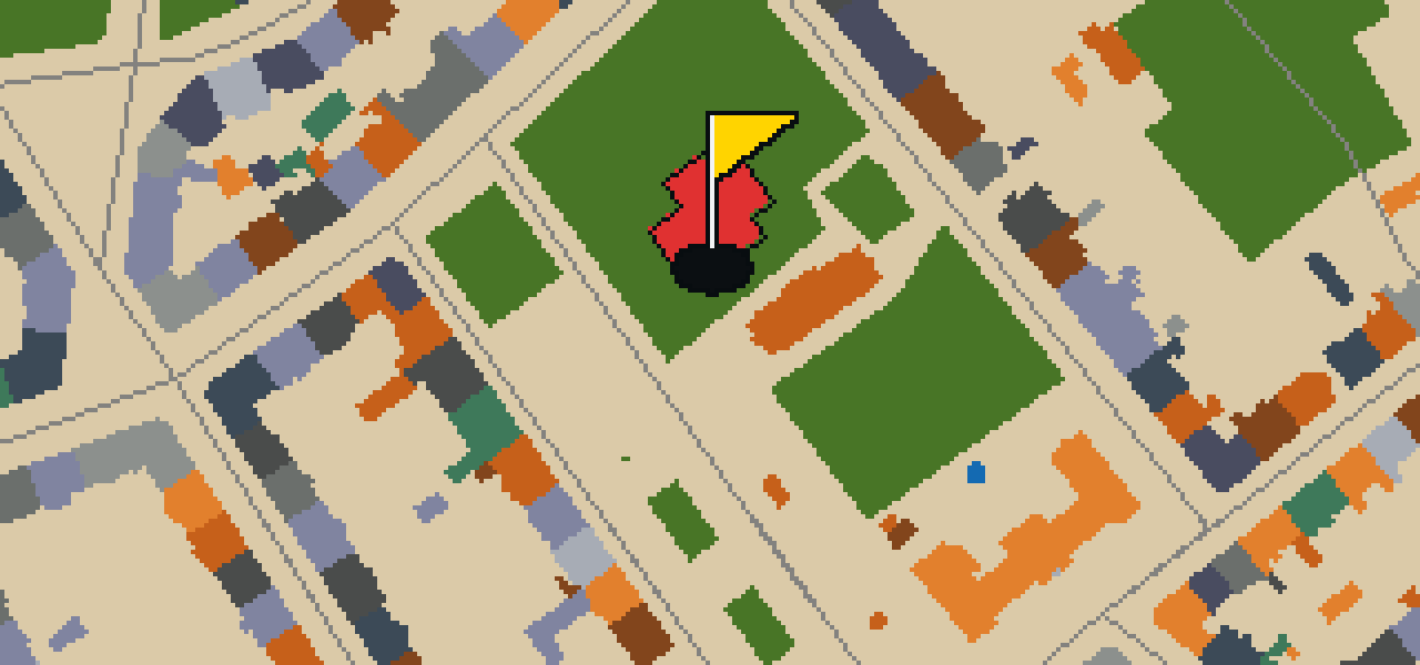
Lutherkirche is a church building that was started in 1898. The structure was designed by architect Arno Eugen Fritsche and is built in the Romanesque Revival architecture style. You can pick out the distinct features of this style in the building's exterior and form. Since its early construction at the end of the nineteenth century, the site has gained further significance and is now listed as a heritage monument in Saxony.
Reichenbacher Turm
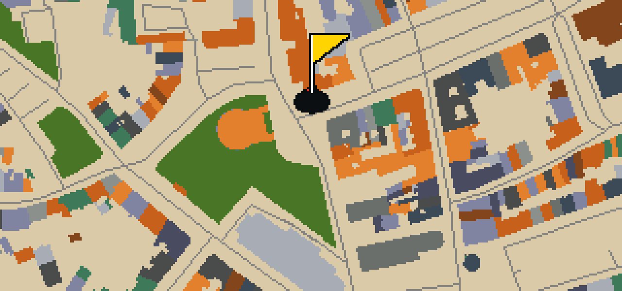
The Reichenbacher Turm is a fortified tower and the western part of the historic fortification of Görlitz. First mentioned in 1376, this structure is a heritage monument in Saxony. You can pick out its scale easily, as it reaches a height of 51m. I've noticed it's the tallest of the three fortified towers in the city. It is a great spot to get your bearings before moving on to the next street. Let me show you how it dominates the skyline compared to the other defensive works in the area.
Nikolaiturm
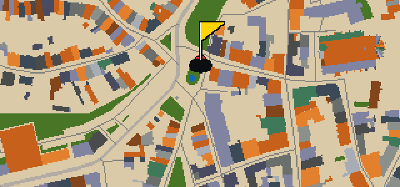
You might mistake this for a standalone monument, but the Nikolaiturm is actually part of the historic fortification of Görlitz. This tower is located inside the inner part of the city, sitting between the old town and the historic Nikolai suburb. It is a heritage monument in Saxony that stands 45 meters tall. While some records say it was started in 1260, it was probably erected before 1250. I've found the view from the top is quite a treat, provided you don't mind a few of us pigeons fluttering past your head.
Cerkiew pw. Świętych Równych Apostołom Konstantyna i Heleny
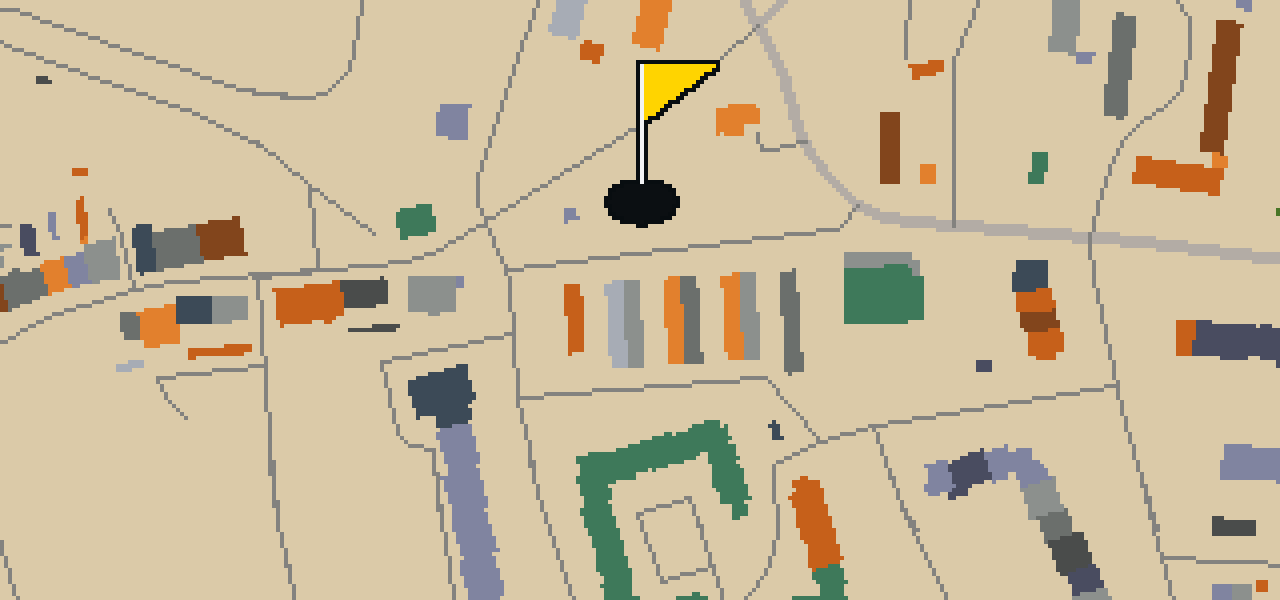
Located within the city, you will find the Cerkiew pw. Świętych Równych Apostołom Konstantyna i Heleny. This site is an Eastern Orthodox church building. It is a place of worship where the specific traditions of the Eastern Orthodox faith are practiced. As you look at the building, you can see the distinct characteristics that define this church building. It remains an important part of the local religious landscape for those who visit the area or reside in the city.
Ochsenbastei
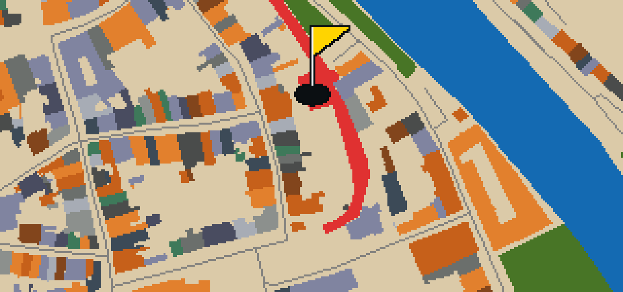
Let me show you the Ochsenbastei. This site is an architectural structure that also functions as a park, making it a unique destination for anyone visiting Görlitz. It is a spot where you can take in the surroundings and see the layout of the city from an elevated position. Whether you are here to admire the construction or simply to enjoy the open air, it is a useful stop for getting your bearings. I find it a pleasant place to spend a few minutes of your visit while watching the world go by.
Stadtpark
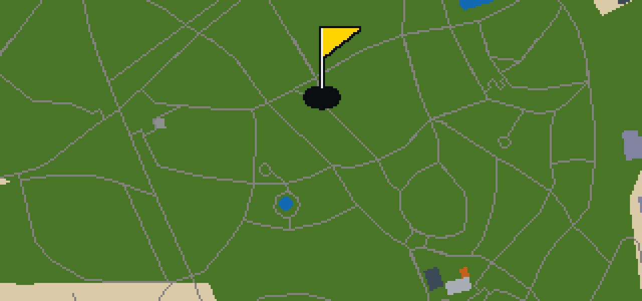
Let me show you Stadtpark. This place is a park, providing a green space for visitors to enjoy while exploring the city. I find it is a good spot to stretch your legs between sights.
Kościół świętego Bonifacego
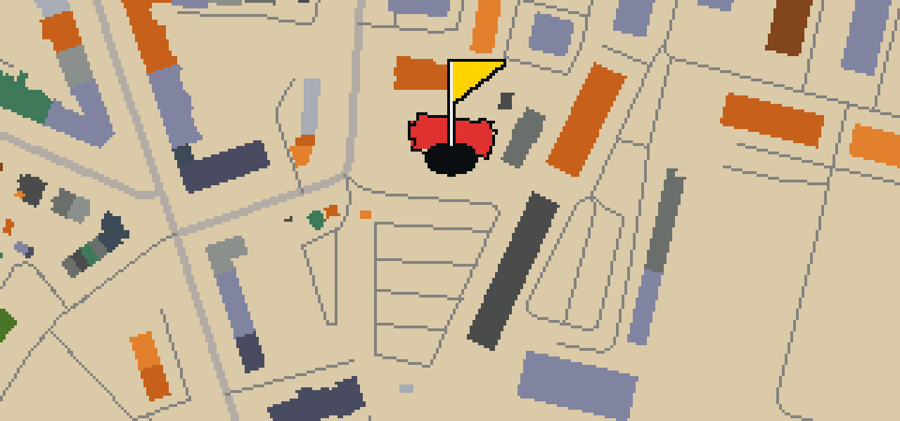
Kościół świętego Bonifacego is a parish church. This church building is designed in the style of modern architecture. Visitors to the city can observe how this specific architectural approach differs from the traditional styles found elsewhere. As a parish church, it serves its community while showcasing the characteristics of modern architecture within its physical form.
Park imienia Andrzeja Błachanca
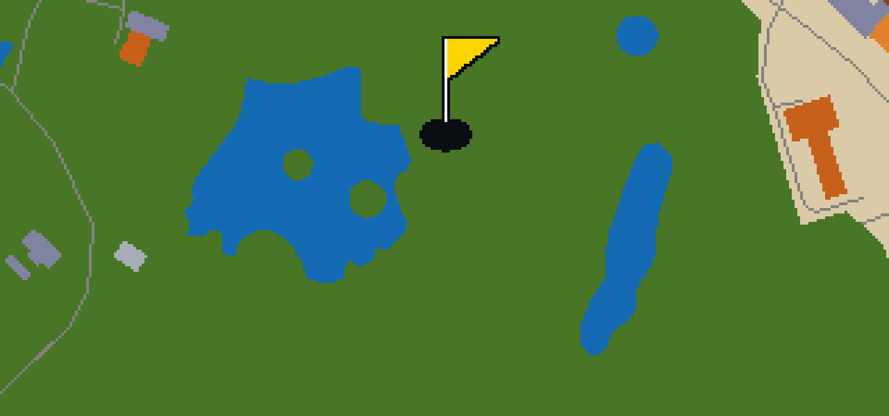
Let me show you Park imienia Andrzeja Błachanca. This location is a park that provides a green space for visitors to explore. It is a spot where you can step away from the city streets and appreciate the open air. I find it is a pleasant place to spend a few minutes of your day.