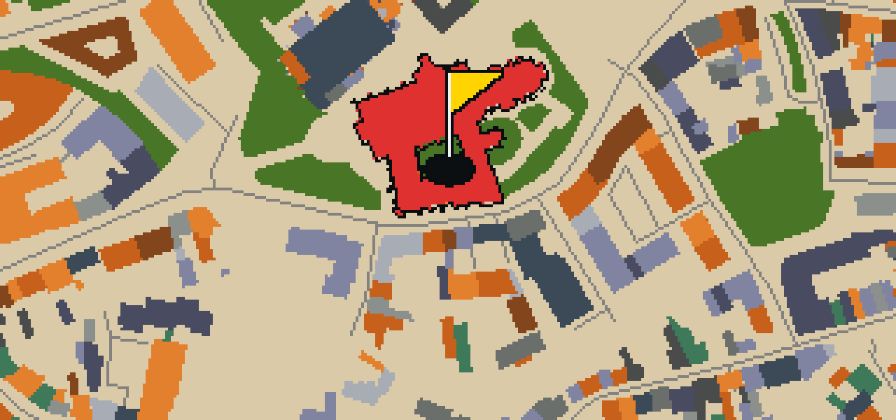

ERFURT - 18 HOLES - FREE

ERFURT
CITY MAP MINIGOLF

Erfurt - 18 stops - par 55

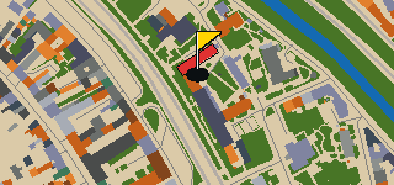
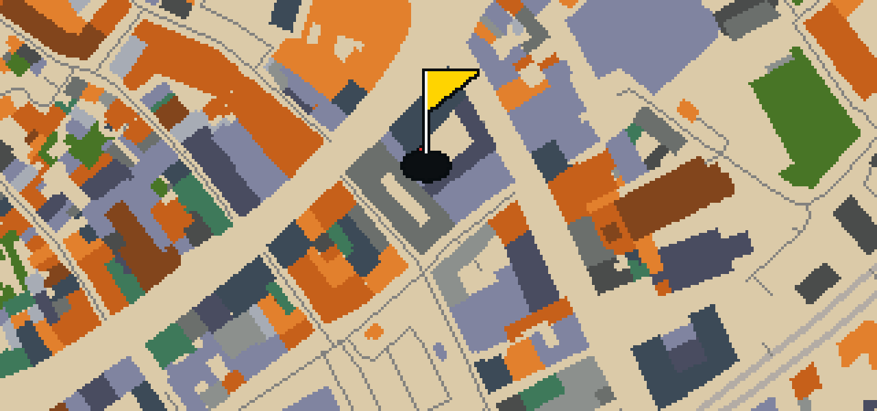
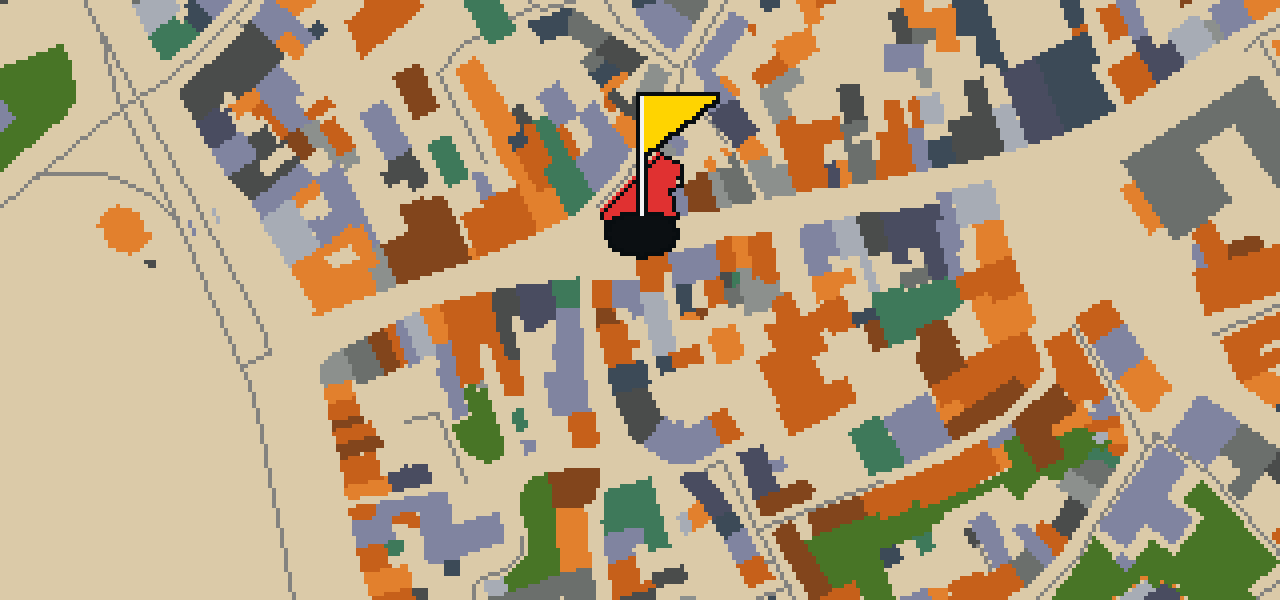
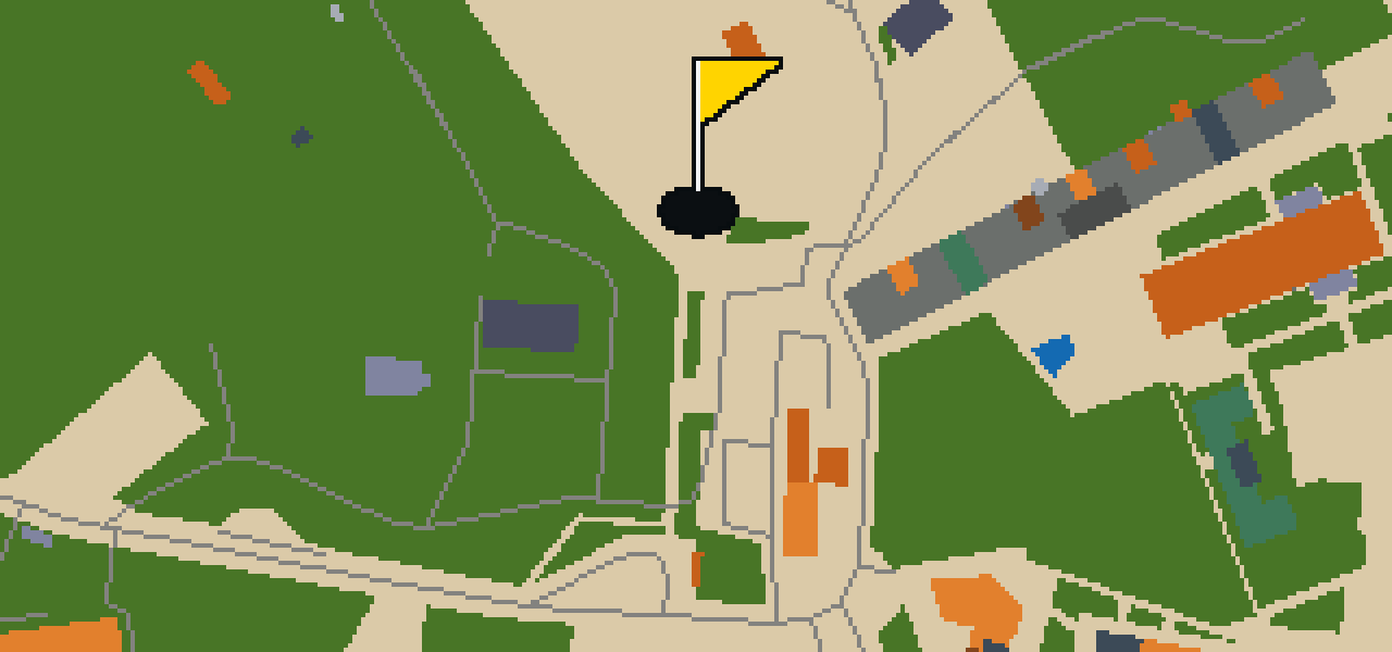
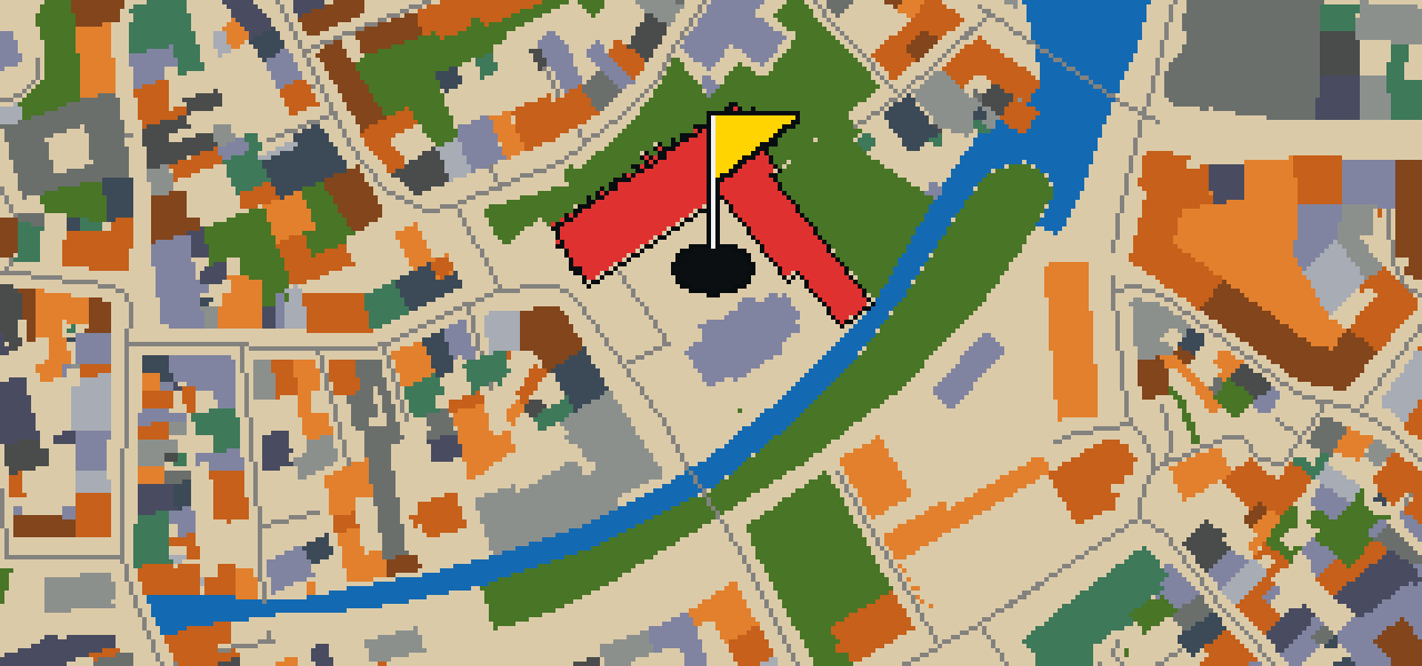
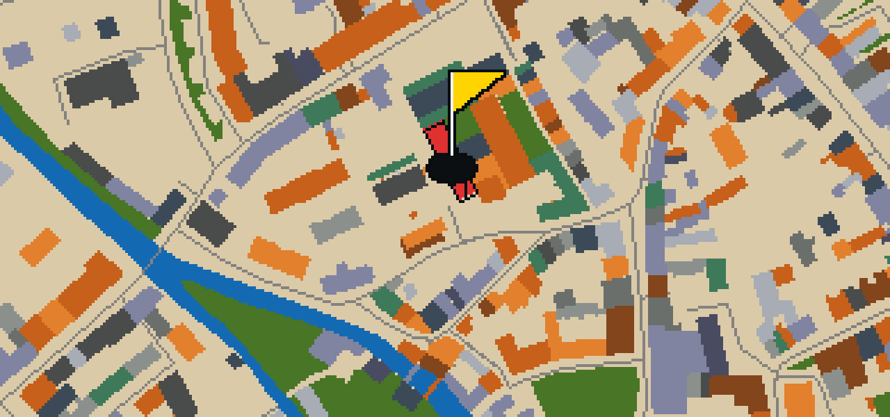
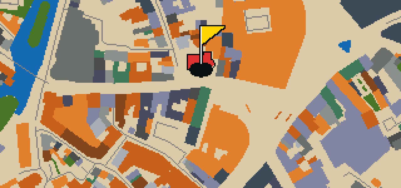
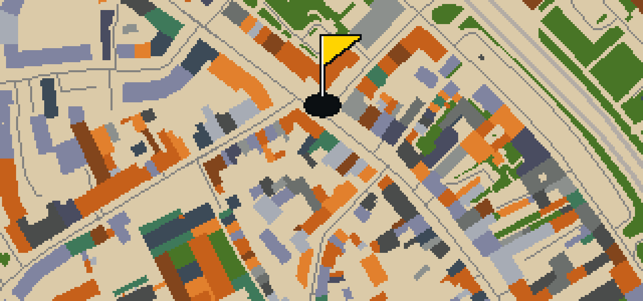
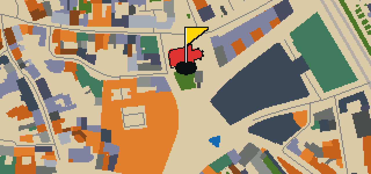
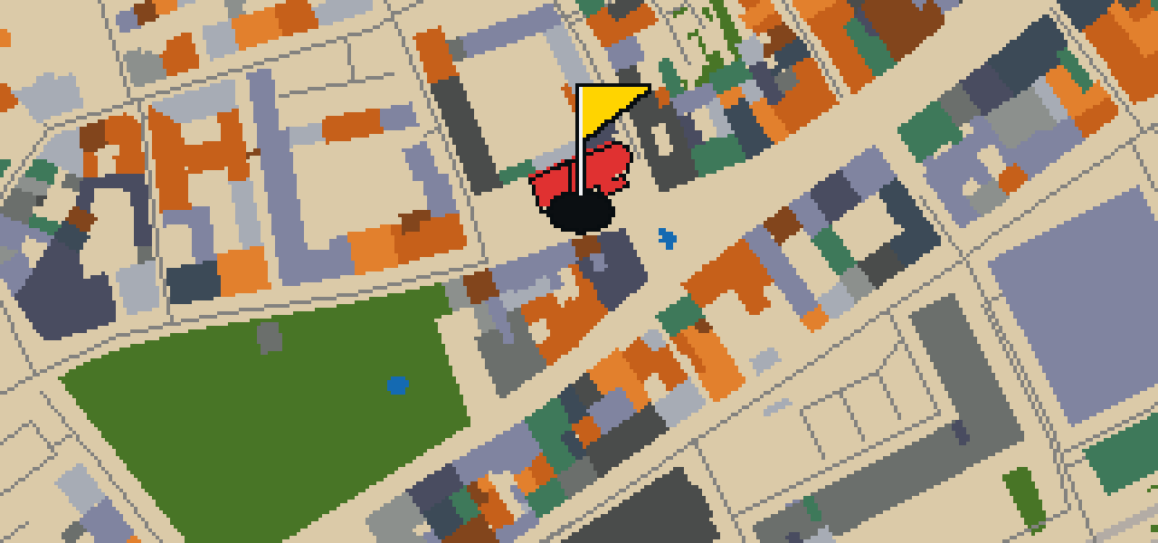
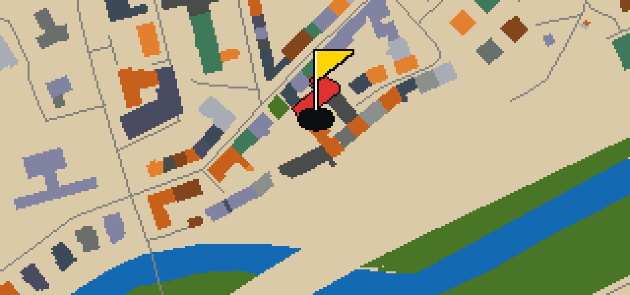
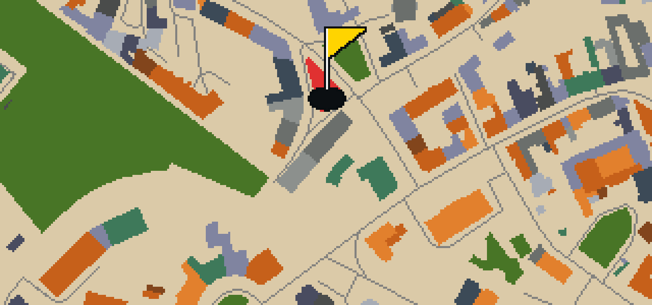
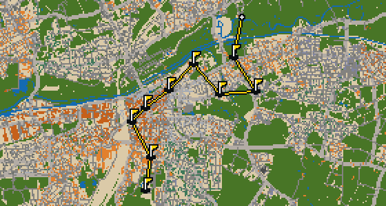
This is Erfurt. The map uses the actual city layout and the round is played on its real streets, with local attractions like the Erfurter Dom as the holes. A full 18-hole round covers 10.9 km and uses 8 portals to bridge the gaps between distant districts. Skip knows every nook of these blocks and the exact slope of the pavement, even the secret spots where the best crumbs are found. It is a long walk through a place the pigeon calls home.

Trouble loading? Open the game in its own tab.

HOW IT WORKS

01

Pick a city

The course is drawn on the real street grid, so the map you play is the map you walk.

02

Putt to the pin

Drag to aim, release to swing. Buildings bounce and water costs you a stroke.

03

Sightsee between strokes

Every hole ends at an attraction. Sink the putt, read the story, walk to the next tee.

THE ERFURT ROUND - STOP BY STOP

HOLE 1 - PAR 3

Erfurter Dom

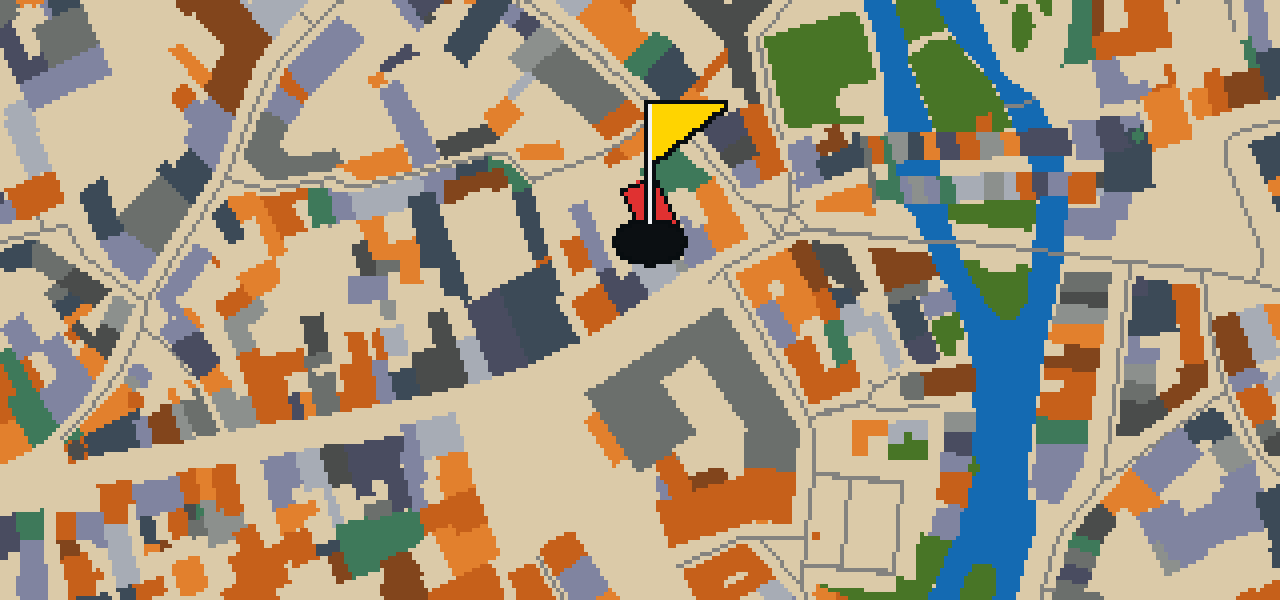
This is not a modern construction, but the Erfurter Dom, a cathedral built in the Gothic architecture style. Its inception was in 1154, and it remains the largest and oldest church building in the Thuringian city of Erfurt. As a parish church and a Heritage monument in Thuringia, it holds a central place in the local skyline. You can see the influence of its long history in the stone and scale of the structure, making it a primary point of interest for anyone exploring the city's architectural roots.

Wikidata · Wikipedia

HOLE 2 - PAR 3

Alte Synagoge Erfurt

The Alte Synagoge Erfurt is built in the Romanesque architecture style. This former Jewish synagogue is located in Erfurt, Thuringia, Germany, and is part of a UNESCO World Heritage Site. It is also a Heritage monument in Thuringia and a Tentative World Heritage Site. The building was started in 1094 and remains a significant site within the region of Thuringia.

Wikidata · Wikipedia

HOLE 3 - PAR 3

Museum für Thüringer Volkskunde

You will find the Museum für Thüringer Volkskunde right here in the city. It is a museum. I think you will enjoy seeing how the local culture is preserved in this space.

Wikidata

HOLE 4 - PAR 3

Angermuseum Erfurt

Step inside the Angermuseum, an art museum located in Erfurt. This institution has been a part of the city since its inception in 1886, officially opening to the public on 27 June 1886. It is a great spot to see how the city preserves its artistic heritage, and the building itself is a prominent feature of the local streetscape. I usually find the building's presence in the neighborhood quite striking, making it a reliable waypoint for any visitor exploring the area on foot or with a golf ball.

Wikidata · Wikipedia

HOLE 5 - PAR 3

Allerheiligenkirche

Allerheiligenkirche is a Roman Catholic church building located at the fork of Allerheiligenstraße and Marktstraße in the historical centre of Erfurt. Built in the Gothic architecture style, the structure is recognized as a Kulturdenkmal and a Heritage monument in Thuringia. You can see the church tower, which reaches a height of 53 metres. The building dates from the 12th to 14th century and serves as a significant landmark within the city's old center.

Wikidata · Wikipedia

HOLE 6 - PAR 4

Zitadelle Petersberg

You will first notice the massive stone walls that stretch for over two kilometres around Zitadelle Petersberg. This citadel is located in Erfurt, central Germany, and sits atop Petersberg hill in the north-western part of the old town centre. It is a Heritage monument in Thuringia that covers 36 hectares in size. Work on the fortress started in 1665. I've found that the scale of the walls makes it easy to spot from almost anywhere in the vicinity, and the climb up the hill is always worth the effort to see the view.

Wikidata · Wikipedia

HOLE 7 - PAR 3

Predigerkirche

This is not a modern construction, but the Predigerkirche, a Lutheran church in central Germany. Built in the Gothic style, it was originally established by the Dominican Order in the 13th century. You can see the bell tower, which was built between 1447 and 1488. The building is a Heritage monument in Thuringia and was designed by architect Käthe Menzel-Jordan. It has a complex history beyond worship, as it was used as a prisoner-of-war camp around 1806 before repairs were made around 1826.

Wikidata · Wikipedia

HOLE 8 - PAR 3

Evangelisches Augustinerkloster zu Erfurt

This site is not a modern installation, but a monastery and church building known as the Evangelisches Augustinerkloster zu Erfurt. It is a heritage monument in Thuringia featuring Gothic architecture. The complex is almost one hectare in size and serves as a former church and friary complex dating from the 13th century. You can visit the grounds where Martin Luther lived as a friar from 1505 until 1511. This religious community provides a direct link to the history of the region through its preserved structures and expansive layout.

Wikidata · Wikipedia

HOLE 9 - PAR 3

Sankt Lorenz

Sankt Lorenz is located at the beginning of the Schlösserstraße in the centre of the historical part of Erfurt. This Roman Catholic parish church sits on the northern edge of Anger square, making it a prominent landmark for those navigating the city center. The building is constructed in the Gothic architecture style and dates from around 1300. Because of its historical and architectural significance, Sankt Lorenz is recognized as a Heritage monument in Thuringia. Visitors can observe the specific characteristics of the Gothic hall church design while exploring this site in the heart of Erfurt.

Wikidata · Wikipedia

HOLE 10 - PAR 3

Johannesturm

This is not a secular lookout or a civic spire. Johannesturm is a church building designed in the Gothic architecture style. It is a heritage monument in Thuringia, preserving a specific era of regional construction. As you look at the structure, you can pick out the characteristic pointed elements and vertical lines that define the Gothic style. This site remains an important piece of the local skyline and is maintained as a protected monument within the state of Thuringia for all who visit the city of Erfurt.

Wikidata

HOLE 11 - PAR 3

Kaufmannskirche - Sankt Gregorii

The Kaufmannskirche is a church building located in the historical centre of Erfurt in Thuringia, Germany. You can find this site at the north end of Erfurt's Anger square. Built in the Gothic architecture style, the building is a Heritage monument in Thuringia. It has a long history within the community and has been Lutheran since 1521. Whether you are visiting the city for the first time or are a longtime resident, the structure is a significant part of the local landscape in the heart of the city.

Wikidata · Wikipedia

HOLE 13 - PAR 3

Kartause

Situated in Erfurt, Thuringia, Germany, the Kartause is a Carthusian monastery. Building works for the site began in 1372, the same year the monastery was founded. The church building is designed in the Baroque style. This religious community has a long history of development; the monastery was accepted into the Carthusian Order in 1374 and work started on the church in 1375. Visitors can observe the intersection of these different phases of construction within the monastery grounds, making it a significant site for those interested in the history of religious communities in the region.

Wikidata · Wikipedia

HOLE 15 - PAR 3

Thomaskirche

You might expect a medieval structure given the style, but Thomaskirche is actually a Gothic Revival church building. Built between 1900 and 1902, the project was led by architect Eberhard Hillebrand. This United Protestant parish church is a Heritage monument in Thuringia. When you look up at the exterior, you can see the steeple reaches 72 metres. Once you step inside the sanctuary, you can find a Gothic altar retable from 1445. It is a significant site for those interested in the religious and architectural history of Erfurt.

Wikidata · Wikipedia

HOLE 16 - PAR 3

KulturQuartier

Let me show you KulturQuartier, which you will find as you explore the city of Erfurt. This site is a theatre building. It is a spot where you can stop and take in the local culture before continuing on your way.

Wikidata

HOLE 17 - PAR 4

Sankt Martini

This is not a main parish hub, but a filial church. Sankt Martini is a Roman Catholic church building located in the west of the historical centre of the city of Erfurt in Thuringia, Germany. The structure is designed in the Gothic architecture style and is officially recognized as a Heritage monument in Thuringia. It serves the community as a subsidiary church of the Catholic parish of St Lawrence's, maintaining its place as a site of faith and history within the city's older quarters.

Wikidata · Wikipedia

HOLE 18 - PAR 2

Zitadelle Cyriaksburg

Let me show you Zitadelle Cyriaksburg, a fortress that was started in 1480. It is a significant part of the city's history and is officially recognized as a Kulturdenkmal. When you visit, you can pick out the sturdy defenses and massive stone structures that have stood for centuries. I've found that the high walls are great for keeping a lookout over the area, though I usually prefer the view from the air. Whether you are interested in military history or just looking for a landmark, this site offers a glimpse into a much older version of the city.

Wikidata

STOP 19

egapark Erfurt

Look closely at the greenery and paths of egapark Erfurt. This park is a significant local spot that is officially recognized as a Kulturdenkmal. Whether you are here for the CityGolf course or just a stroll, it is a place where you can appreciate the managed landscape. I often see people pausing to enjoy the atmosphere here, taking in the open space and the way the gardens are laid out. It is one of those spots in the city where you can really feel the scale of the grounds while you walk.

Wikidata

OTHER COURSES

9 HOLES - PAR 33

Hamm

9 stops

This quick nine-hole round covers 7.4 km across Hamm. The map is the real city and the ball rolls along its actual streets, using portals to skip between districts. Local attractions like Schloss Heessen are the foundations for the holes. Skip knows every curb and cobblestone here, even if a few crumbs usually distract the guide.

18 HOLES - PAR 53

Kassel

18 stops

Kassel is the setting for this round, where the map follows the actual city and the ball rolls across its real streets. The holes are built from the city's actual attractions, ending at the Spitzhacke. Skip knows these sidewalks well and is the local guide. This is a full round of 18 holes with a par of 53, covering a walk of 9.7 km. The ball moves between distant districts using 12 portals.

9 HOLES - PAR 31

Hagen

9 stops

The ball ends its journey at the Stadtgarten. This course uses the real streets of Hagen as the map, with the city's actual attractions forming the holes. A quick round of 9 holes covers 7.6 km, using 8 portals to bridge the gaps between distant districts. Skip knows every curb and cobblestone here, having spent plenty of time watching the world go by from the eaves.

9 HOLES - PAR 29

Oberhausen

9 stops

Banking a ball off the stone of Schloss Broich requires a steady wing and a soft touch. This round takes place on the real streets of Oberhausen, where the city map is the course. The holes are built from actual local attractions, and Skip knows every crack in the pavement. A quick 9-hole round covers 6 km, with 14 portals to keep the ball moving.

18 HOLES - PAR 57

Delsberg

18 stops

Banking a ball off the stone facades of the Roter Turm requires a steady wing and a bit of luck. This round takes place in Delsberg, where the map is the real city and the game is played on its actual streets. The holes are built from real attractions, turning the urban layout into a course. I know these sidewalks well and can be the local guide. It is a full round of 18 holes with a par of 57, covering a 12.1 km walk that uses 10 portals.

FAQ

Is it free to play?

Yes. Every course runs in the browser with no account and no install.

Do I need to be in the city?

No. The full round plays from anywhere. Walking the real route is a nice way to see the city, but it is not required.

Are the maps real?

Yes. The geometry comes from OpenStreetMap data, rendered chunky on purpose. Streets, water and parks sit where they really are.