
TAOS - 9 HOLES - FREE

TAOS
CITY MAP MINIGOLF

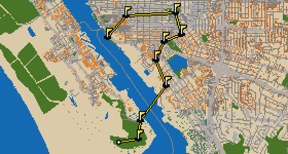
Taos - 9 stops - par 25

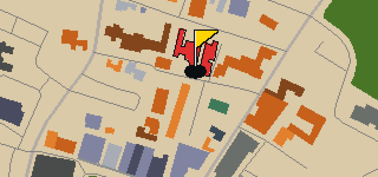
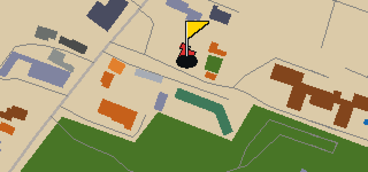
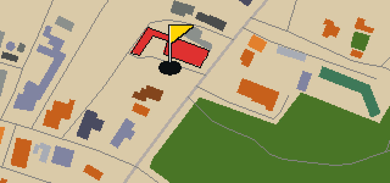
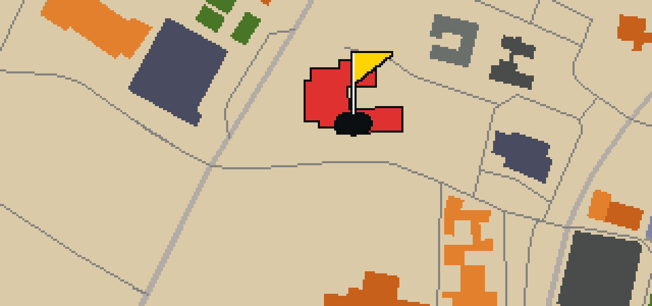
This is a quick nine-hole round through Taos. The map follows the real city and the ball rolls across its actual streets, banking off the facades of attractions like the Harwood Museum of Art to reach the cups. Skip is a local guide who knows every corner of this 3 mi walk, including where to find the best crumbs.

Trouble loading? Open the game in its own tab.

HOW IT WORKS

01

Pick a city

The course is drawn on the real street grid, so the map you play is the map you walk.

02

Putt to the pin

Drag to aim, release to swing. Buildings bounce and water costs you a stroke.

03

Sightsee between strokes

Every hole ends at an attraction. Sink the putt, read the story, walk to the next tee.

THE TAOS ROUND - STOP BY STOP

HOLE 1 - PAR 3

Harwood Museum of Art

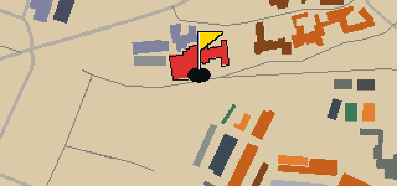
You will find the Harwood Museum of Art right in the heart of Taos, New Mexico. This art museum is a great stop for anyone visiting the area, especially if you appreciate the local look, as the building features Pueblo Revival Style architecture. The Harwood Foundation founded the museum in 1923, and the University of New Mexico purchased it later in 1935. It is recognized for its significance through listings on both the National Register of Historic Places and the New Mexico State Register of Cultural Properties. I've always found the building's style blends in perfectly with the rest of the town. Whether you are here for the golf or the gallery, it is a landmark that defines the character of the neighborhood.
Wikidata · Wikipedia

HOLE 2 - PAR 2

Taos Inn Historic Site

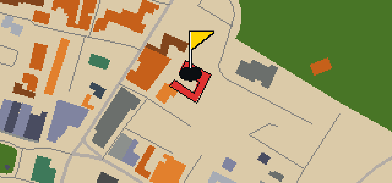
I'll show you to the center of Taos, New Mexico, where you can find the Taos Inn Historic Site. This hotel was started in 1934 and is built in the Pueblo Revival Style architecture. The site has a deep connection to the local art scene; a home of Thomas "Doc" Martin hosted the formative meeting of the Taos Society of Artists in 1915. Later, Helen Martin converted the houses into a hotel that opened on June 7, 1936 as Hotel Martin. It is a place where you can see how 19th century adobe houses were adapted for visitors. I've always found the rounded edges of the adobe walls to be quite relaxing to look at.

Wikidata · Wikipedia

HOLE 3 - PAR 3

Mabel Dodge Luhan House Historic Site

HOLE 4 - PAR 2

Bent House Museum

HOLE 5 - PAR 3

Taos Art Museum

The Nicolai Fechin House was the home of Russian artist Nicolai Fechin, his wife Alexandra, and daughter Eya. Since then, the site has transitioned into a public space, as the Taos Art Museum was founded in 1994. Located in Taos, New Mexico, this art museum focuses on improving awareness of the works and patronage of Taos artists. I've noticed that the museum also works to nurture local artistic development. Whether you are a fan of the fine arts or just passing through the neighborhood, it is a great spot to see how the local creative community has grown over the years. You can pick out the unique character of the house while you explore the galleries and learn about the artists who shaped the region.

Wikidata · Wikipedia

HOLE 6 - PAR 3

Shortcut

HOLE 7 - PAR 3

Aurora

HOLE 8 - PAR 3

Nuestra Señora de Guadalupe Catholic Church

Nuestra Señora de Guadalupe Catholic Church is a historic church building. This site, which is also known as Our Lady of Guadalupe Parish, is located at 205 Don Fernando Street in downtown Taos, New Mexico. It is a place of worship that stands as a prominent landmark for those visiting the center of town. When you arrive at the site, you can see that the parish is situated adjacent to the Taos Plaza. This location makes it easily accessible for anyone exploring the surrounding downtown area. Whether you are visiting for its history or its religious significance, the church remains a central part of the local community. Please observe the surroundings and the architecture of the building as you spend time at this historic location in New Mexico.

Wikidata · Wikipedia

HOLE 9 - PAR 3

Hanuman Temple

STOP 10

Khadeeja Mosque

OTHER COURSES

9 HOLES - PAR 26

Tuscaloosa

9 stops

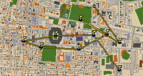
Tuscaloosa is the setting for this round, played on the actual city streets. The map uses real attractions like Bryant-Denny Stadium to build the holes, turning the town into a course. Skip knows these sidewalks well, having spent plenty of time dodging crumbs on the way to the cup. This quick 9-hole round covers 3.2 mi with a total par of 26.

9 HOLES - PAR 28

Oceanside

9 stops

Oceanside is the setting for this round, with the ball rolling across the real streets of the city. The holes are built from actual attractions, like the Oceanside Museum of Art. Skip is a local guide who knows every curb and crumb. This quick 9-hole round covers 3.6 mi on foot with a par of 28.

9 HOLES - PAR 29

Vallejo

9 stops

The Vallejo Naval and Historical Museum is the end of this quick nine-hole round. The map is the real city and the ball rolls across its actual streets, banking off building facades. Local attractions provide the structure for each hole. Skip knows these sidewalks well, including the 3.7 mi walk and the two portals used to bridge the gaps.

9 HOLES - PAR 28

Salinas

9 stops

Salinas is the setting for this round, with the ball rolling across the actual city streets. The holes are built from real attractions, including the National Steinbeck Center. Skip knows these sidewalks well and has a few feathers in the wind. This quick round of 9 holes has a par of 28 and covers a total walk of 3.7 mi.

9 HOLES - PAR 27

Danbury

9 stops

Danbury is the setting for this round, where the map is the real city and the ball rolls along its actual streets. The holes are built from real attractions, ending at Wooster Square. Skip is a local guide who knows the pavement well. A quick 9-hole round covers 3.4 mi with a total par of 27.

FAQ

Is it free to play?

Yes. Every course runs in the browser with no account and no install.

Do I need to be in the city?

No. The full round plays from anywhere. Walking the real route is a nice way to see the city, but it is not required.

Are the maps real?

Yes. The geometry comes from OpenStreetMap data, rendered chunky on purpose. Streets, water and parks sit where they really are.