
OCEANSIDE - 9 HOLES - FREE

OCEANSIDE
CITY MAP MINIGOLF

Oceanside - 9 stops - par 28

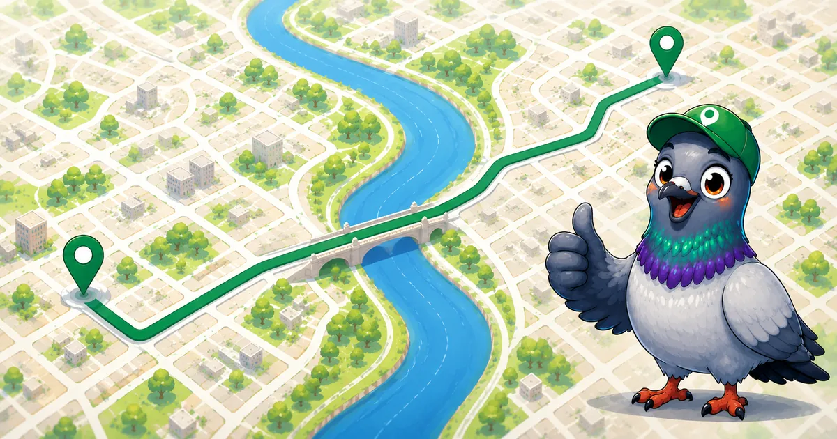
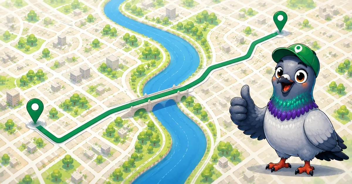
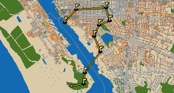
Oceanside is the setting for this round, with the ball rolling across the real streets of the city. The holes are built from actual attractions, like the Oceanside Museum of Art. Skip is a local guide who knows every curb and crumb. This quick 9-hole round covers 3.6 mi on foot with a par of 28.

Trouble loading? Open the game in its own tab.

HOW IT WORKS

01

Pick a city

The course is drawn on the real street grid, so the map you play is the map you walk.

02

Putt to the pin

Drag to aim, release to swing. Buildings bounce and water costs you a stroke.

03

Sightsee between strokes

Every hole ends at an attraction. Sink the putt, read the story, walk to the next tee.

THE OCEANSIDE ROUND - STOP BY STOP

HOLE 1 - PAR 2

Oceanside Museum of Art

The Oceanside Museum of Art is a fine arts museum located in Oceanside, California. It began holding exhibits in 1995, and a dedicated facility opened on October 6, 1997. The museum is housed in two buildings designed by Irving Gill and Frederick Fisher. I've noticed that the mix of architectural styles makes for a great backdrop when you're walking between galleries. Whether you are visiting for the first time or you're a regular in the city, the space offers a focused look at fine arts in a setting that reflects the local coastal character. It is a place where the building itself is as much of a draw as the art hanging on the walls, making it a primary destination for anyone interested in the intersection of design and creativity.

Wikidata · Wikipedia

HOLE 2 - PAR 3

California Surf Museum

HOLE 3 - PAR 3

Assembly of God Church

HOLE 4 - PAR 3

Seventh Day Adventist Church

HOLE 5 - PAR 3

First Methodist Episcopal Church

HOLE 6 - PAR 2

Junior Seau Pier Amphitheatre

Junior Seau was a football player honored by the renaming of this performing arts center in 2012. Located at the foot of the Oceanside Pier in Oceanside, California, the venue is a public entertainment and recreation complex. It has a long history in the city, having had its inception in 1919. Before it took its current name, you can pick out references to it as the Oceanside Pier Amphitheater or the Oceanside Bandshell. It is a great spot to catch a show while feeling the salt air. I usually find the best views of the water from the edges of the seating area, though the pigeons usually prefer the railings. Whether you are visiting for a concert or just passing through the pier area, it is a landmark that ties the community together through music and memory.

Wikidata · Wikipedia

HOLE 7 - PAR 4

Tyson Street Park

Let me show you Tyson Street Park. It is a park located within the city. You can pick out the greenery as you move through the neighborhood. I find it is a pleasant spot to pause during a walk.

Wikidata

HOLE 8 - PAR 4

Second Missionary Baptist Church

HOLE 9 - PAR 4

Marshall Street Park

Green grass and open air define the space here. This is Marshall Street Park, a park located in the heart of Oceanside. It is a spot where visitors can step away from the pavement and find a bit of nature. Whether you are passing through the city or staying for the day, this area offers a simple place to relax and breathe. I always find that the open layout makes it a pleasant spot for a quick break during a long walk. It is a straightforward piece of the city's public landscape that stays true to its purpose as a community park. Taking a moment here allows you to appreciate the balance of greenery within the urban environment before you continue your journey through the streets.

Wikidata

STOP 10

Buccaneer Beach Park

You will first notice the open layout of Buccaneer Beach Park. I can show you around this area, which is a park. It is a spot where visitors can spend time outdoors and enjoy the environment. I find it is a pleasant place to stretch your wings and watch the world go by.

Wikidata

OTHER COURSES

9 HOLES - PAR 26

Tuscaloosa

9 stops

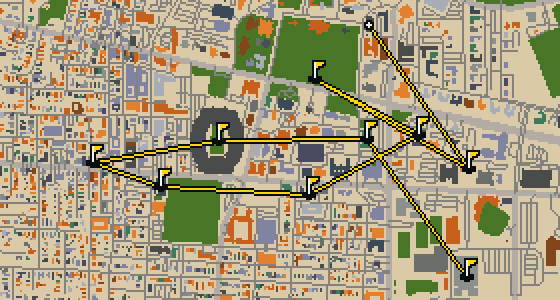
Tuscaloosa is the setting for this round, played on the actual city streets. The map uses real attractions like Bryant-Denny Stadium to build the holes, turning the town into a course. Skip knows these sidewalks well, having spent plenty of time dodging crumbs on the way to the cup. This quick 9-hole round covers 3.2 mi with a total par of 26.

9 HOLES - PAR 29

Vallejo

9 stops

The Vallejo Naval and Historical Museum is the end of this quick nine-hole round. The map is the real city and the ball rolls across its actual streets, banking off building facades. Local attractions provide the structure for each hole. Skip knows these sidewalks well, including the 3.7 mi walk and the two portals used to bridge the gaps.

9 HOLES - PAR 28

Salinas

9 stops

Salinas is the setting for this round, with the ball rolling across the actual city streets. The holes are built from real attractions, including the National Steinbeck Center. Skip knows these sidewalks well and has a few feathers in the wind. This quick round of 9 holes has a par of 28 and covers a total walk of 3.7 mi.

9 HOLES - PAR 27

Danbury

9 stops

Danbury is the setting for this round, where the map is the real city and the ball rolls along its actual streets. The holes are built from real attractions, ending at Wooster Square. Skip is a local guide who knows the pavement well. A quick 9-hole round covers 3.4 mi with a total par of 27.

18 HOLES - PAR 55

Ontario

18 stops

This is Ontario. The map is the real city and the round is played on its real streets, where attractions like the Benton Museum of Art are what the holes are built from. Skip is a local guide who knows the place, including which ledges offer the best view of the action. A full round of 18 holes covers 7.1 mi with a par of 55. It is a steady walk through the city that lets the course unfold naturally.

FAQ

Is it free to play?

Yes. Every course runs in the browser with no account and no install.

Do I need to be in the city?

No. The full round plays from anywhere. Walking the real route is a nice way to see the city, but it is not required.

Are the maps real?

Yes. The geometry comes from OpenStreetMap data, rendered chunky on purpose. Streets, water and parks sit where they really are.