SHREVEPORT - 9 HOLES - FREE

SHREVEPORT
CITY MAP MINIGOLF

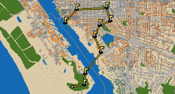
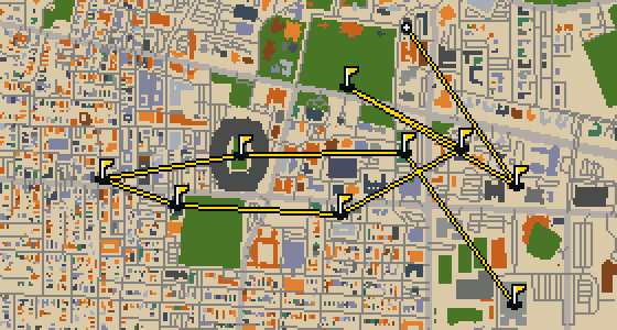
Shreveport - 9 stops - par 30

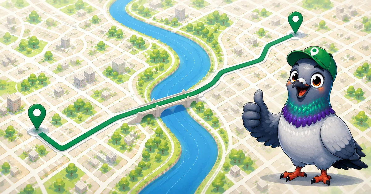
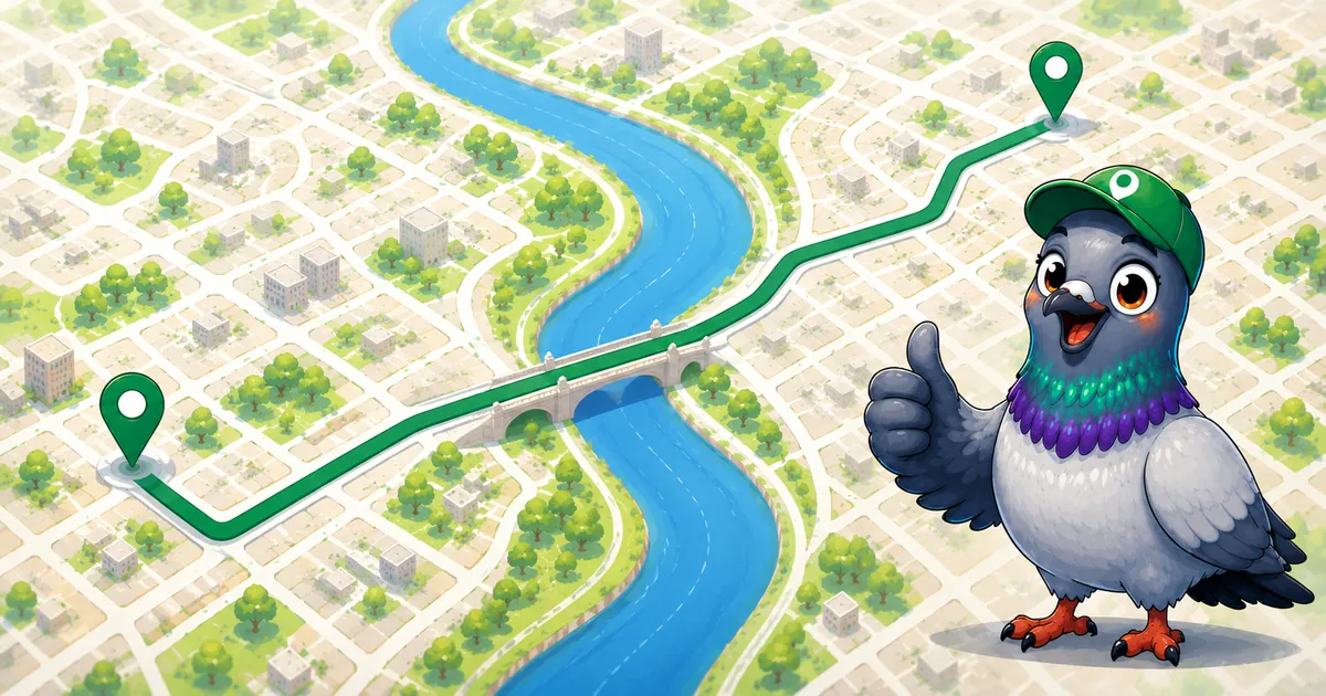
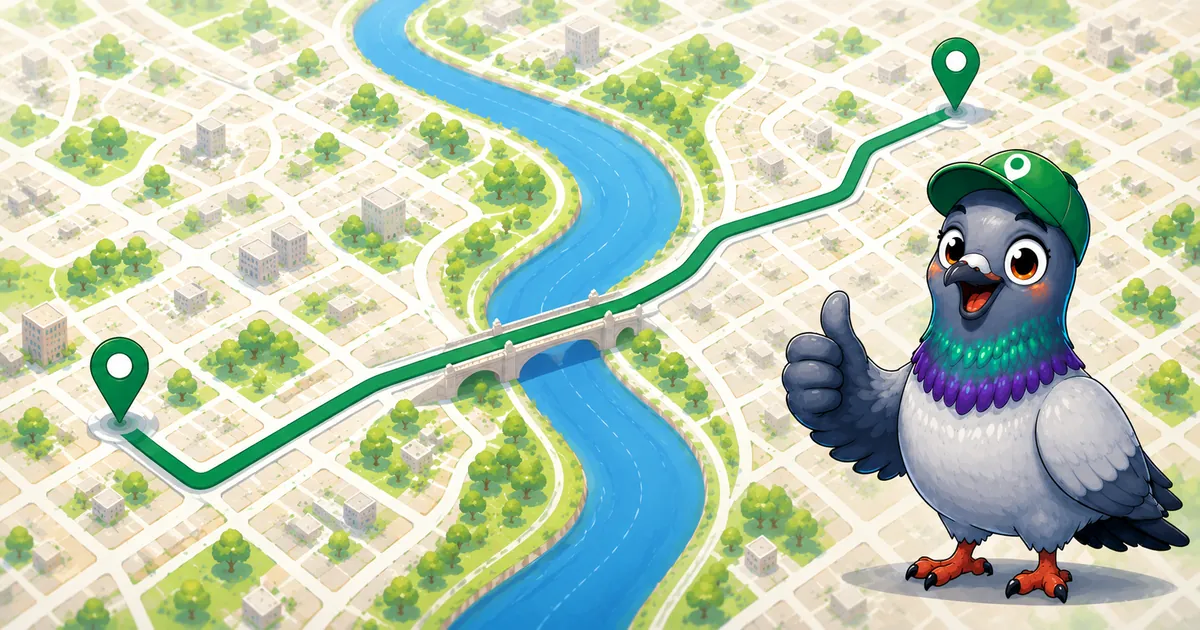
Banking a ball off the brick and stone of the Louisiana State Exhibit Museum requires a steady wing and a soft touch. This round takes place in Shreveport, where the map is the real city and the game is played on its actual streets. The holes are built from the city's real attractions. As a local guide, Skip knows every curb and corner of this quick 9-hole round covering 4 mi.

Trouble loading? Open the game in its own tab.

HOW IT WORKS

01

Pick a city

The course is drawn on the real street grid, so the map you play is the map you walk.

02

Putt to the pin

Drag to aim, release to swing. Buildings bounce and water costs you a stroke.

03

Sightsee between strokes

Every hole ends at an attraction. Sink the putt, read the story, walk to the next tee.

THE SHREVEPORT ROUND - STOP BY STOP

HOLE 1 - PAR 3

Saint Paul Church

HOLE 2 - PAR 3

Atkins Park

Let me show you Atkins Park. This location is a park, providing a spot for visitors to experience the outdoors within the city. Whether you are passing through on a game or visiting for the day, you can find a bit of nature here. I have seen plenty of folks enjoy the open space, and it remains a designated park for everyone in the area to utilize.
Wikidata

HOLE 3 - PAR 3

New Hope Christian Methodist Episcopal Church
HOLE 4 - PAR 4

Philadelphia Seventh Day Adventist Church
HOLE 5 - PAR 3

Louisiana State Exhibit Museum

HOLE 6 - PAR 4

Laurel Heights Baptist Church

HOLE 7 - PAR 3

Freedom Missionary Baptist Church

HOLE 8 - PAR 3

Hirsch Memorial Coliseum

You might think you are looking at a stadium, but this is actually the Hirsch Memorial Coliseum, an arena in Shreveport. Designed by Edward F. Neild Jr., the building was completed in 1954. While it now carries the name of William Rex Hirsch, the building was initially planned to be named The Youth Building. It is a massive space with 10,000 seats, making it a significant spot for large gatherings in the city. If you look around, you can see it is located adjacent to Independence Stadium. I've found that the scale of the place is always a bit surprising when you first walk up to it, especially since it is tucked right next to the bigger field. It is a great example of mid-century design that still holds a lot of space for the community today.
Wikidata · Wikipedia

HOLE 9 - PAR 4

Fair Grounds Field

A seating capacity of 4,200 people defined the scale of Fair Grounds Field. This baseball stadium in Shreveport, Louisiana, was a key sports venue located on the Louisiana State Fair Grounds just off Interstate 20, where it sat next to Independence Stadium. The facility first opened its gates in 1986 to welcome the crowds. Over the following decades, the stadium was updated to keep things fresh, undergoing renovations in 1999, 2009, and 2011. I've noticed that the proximity to the interstate makes it a very easy spot to find if you are just passing through the city. Whether you are a fan of the game or just exploring the local fairgrounds, it is a recognizable part of the area's athletic history.
Wikidata · Wikipedia

STOP 10

Independence Stadium

Located in Shreveport, Louisiana, Independence Stadium is a municipally owned outdoor football stadium. It had its inception in 1924 and has since hosted a variety of professional and collegiate teams. You can find a deep sports history here; for instance, the Shreveport Pirates of the Canadian Football League used the stadium as a home venue from 1994 to 1995. It is also the site of the Independence Bowl post-season college football game, which was first held in 1976 as the Bicentennial Bowl. I've seen plenty of folks gather here for the big games, and the energy in the stands is always something to behold. It is a landmark that has seen the city's love for the game evolve over many decades.
Wikidata · Wikipedia

OTHER COURSES

9 HOLES - PAR 26

Tuscaloosa

9 stops

Tuscaloosa is the setting for this round, played on the actual city streets. The map uses real attractions like Bryant-Denny Stadium to build the holes, turning the town into a course. Skip knows these sidewalks well, having spent plenty of time dodging crumbs on the way to the cup. This quick 9-hole round covers 3.2 mi with a total par of 26.

9 HOLES - PAR 28

Oceanside

9 stops

Oceanside is the setting for this round, with the ball rolling across the real streets of the city. The holes are built from actual attractions, like the Oceanside Museum of Art. Skip is a local guide who knows every curb and crumb. This quick 9-hole round covers 3.6 mi on foot with a par of 28.

9 HOLES - PAR 29

Vallejo

9 stops

The Vallejo Naval and Historical Museum is the end of this quick nine-hole round. The map is the real city and the ball rolls across its actual streets, banking off building facades. Local attractions provide the structure for each hole. Skip knows these sidewalks well, including the 3.7 mi walk and the two portals used to bridge the gaps.

9 HOLES - PAR 28

Salinas

9 stops

Salinas is the setting for this round, with the ball rolling across the actual city streets. The holes are built from real attractions, including the National Steinbeck Center. Skip knows these sidewalks well and has a few feathers in the wind. This quick round of 9 holes has a par of 28 and covers a total walk of 3.7 mi.

9 HOLES - PAR 27

Danbury

9 stops

Danbury is the setting for this round, where the map is the real city and the ball rolls along its actual streets. The holes are built from real attractions, ending at Wooster Square. Skip is a local guide who knows the pavement well. A quick 9-hole round covers 3.4 mi with a total par of 27.

FAQ

Is it free to play?

Yes. Every course runs in the browser with no account and no install.

Do I need to be in the city?

No. The full round plays from anywhere. Walking the real route is a nice way to see the city, but it is not required.

Are the maps real?

Yes. The geometry comes from OpenStreetMap data, rendered chunky on purpose. Streets, water and parks sit where they really are.