
LONG BEACH - 9 HOLES - FREE

LONG BEACH
CITY MAP MINIGOLF

Long Beach - 9 stops - par 29

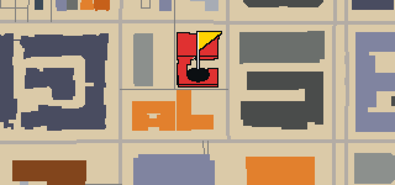
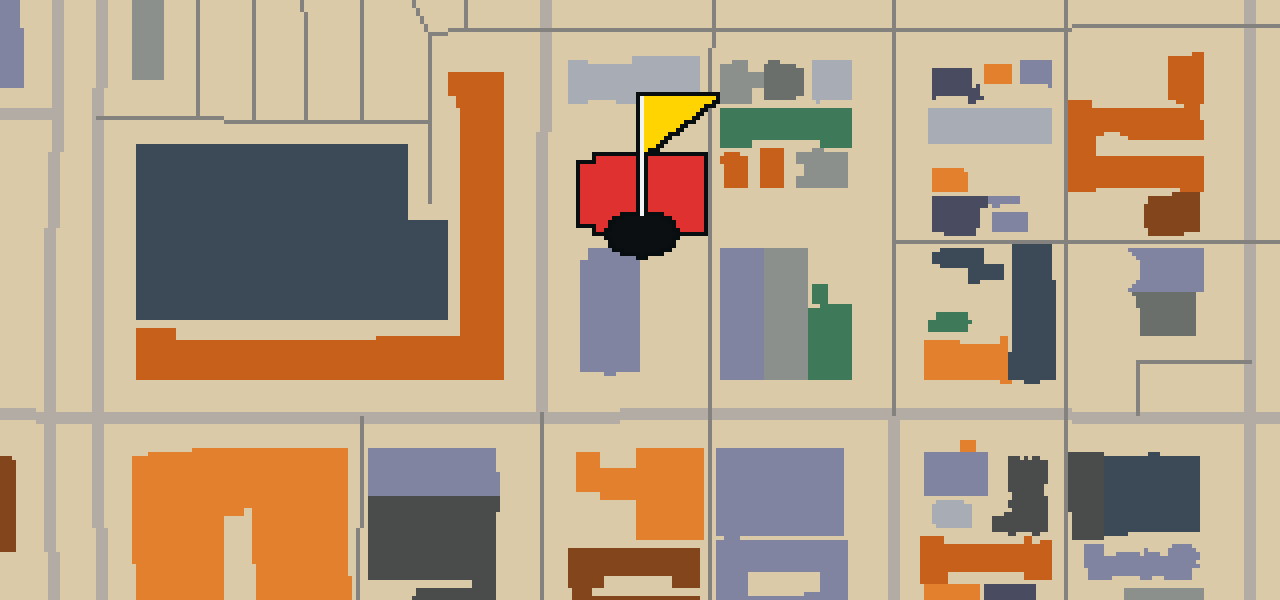
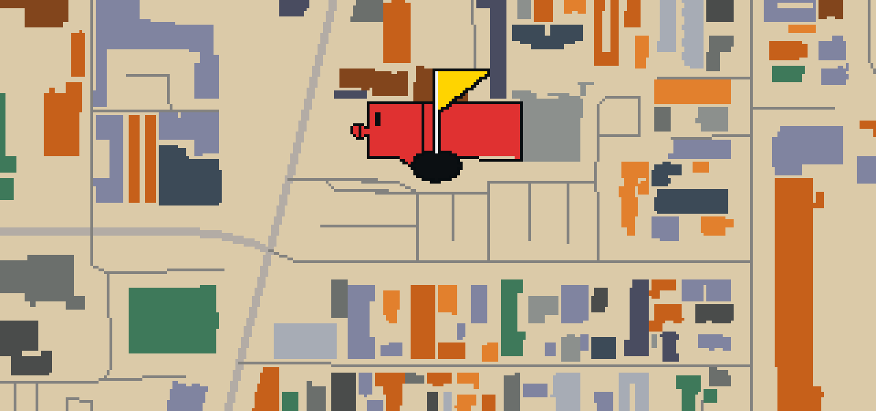
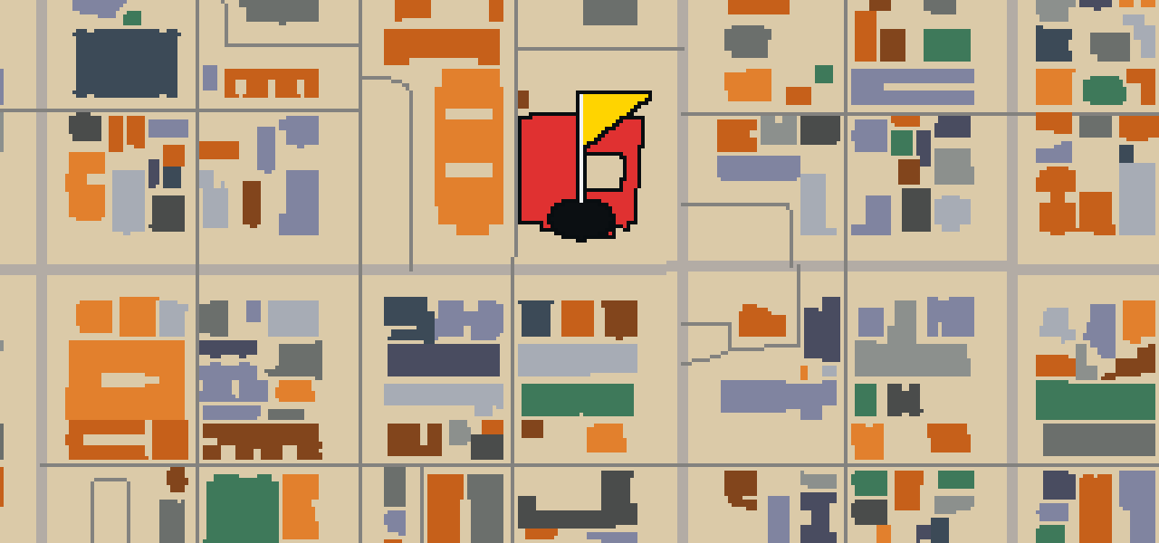
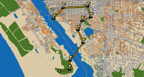
This is Long Beach. The map is the real city and the round is played on its real streets, where the ball banks off building facades and holes out at the Aquarium of the Pacific. Skip is a local guide who knows these sidewalks well. It is a quick nine-hole round covering 3.9 mi, using four portals to bridge the gaps.

Trouble loading? Open the game in its own tab.

HOW IT WORKS

01

Pick a city

The course is drawn on the real street grid, so the map you play is the map you walk.

02

Putt to the pin

Drag to aim, release to swing. Buildings bounce and water costs you a stroke.

03

Sightsee between strokes

Every hole ends at an attraction. Sink the putt, read the story, walk to the next tee.

THE LONG BEACH ROUND - STOP BY STOP

HOLE 1 - PAR 2

Aquarium of the Pacific

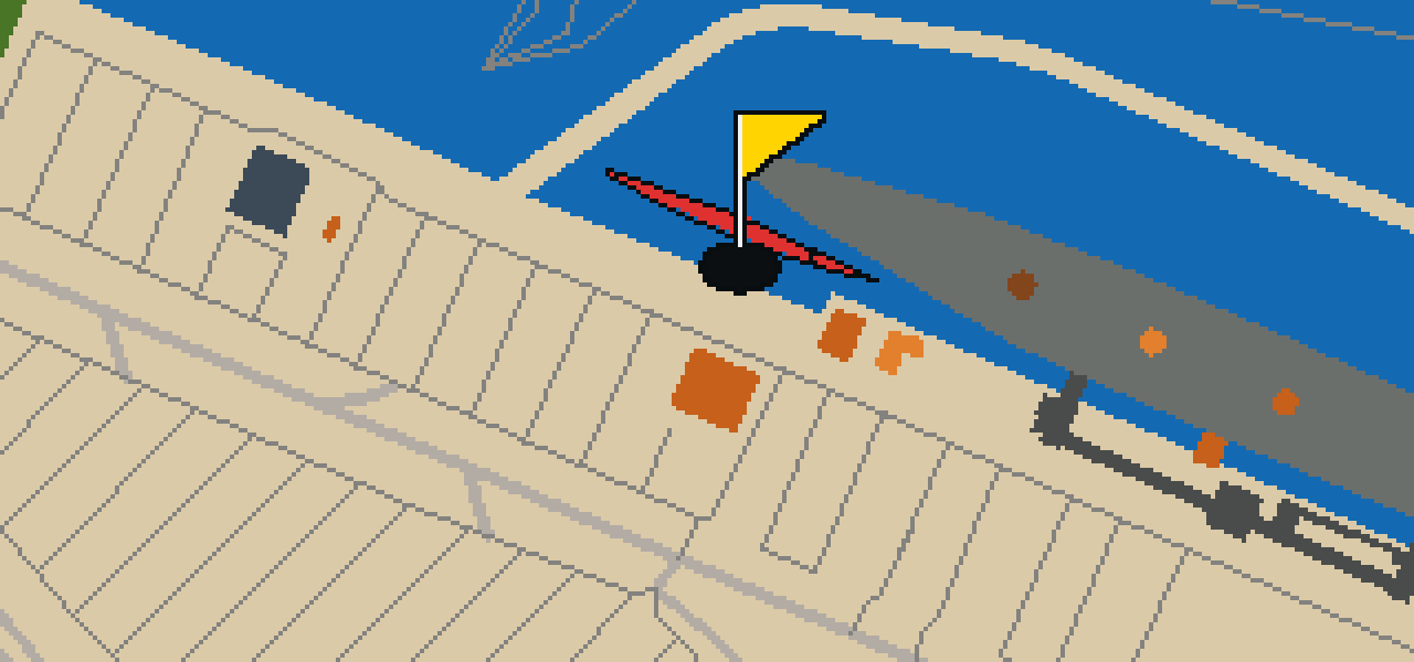
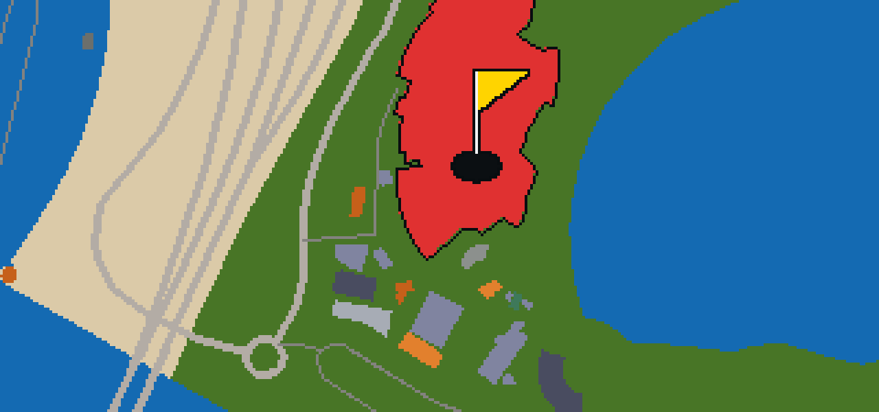
Let me show you the Aquarium of the Pacific. This public aquarium is a nonprofit organization located in Long Beach. It sits on a 6-acre site, which is also 24,000 m2, right on Rainbow Harbor. I've noticed the breeze here is usually quite refreshing. The facility opened on June 20, 1998, providing a dedicated space for visitors to engage with marine life. Whether you are here for the golf or the fish, the location on the harbor makes it a standout spot in the city. It is a place where the urban environment of Long Beach meets the water, making it a great waypoint for any visitor. You can pick out the distinct architecture as you approach the harborfront, marking the end of this particular stretch of the course.

Wikidata · Wikipedia

HOLE 2 - PAR 4

Lions Lighthouse

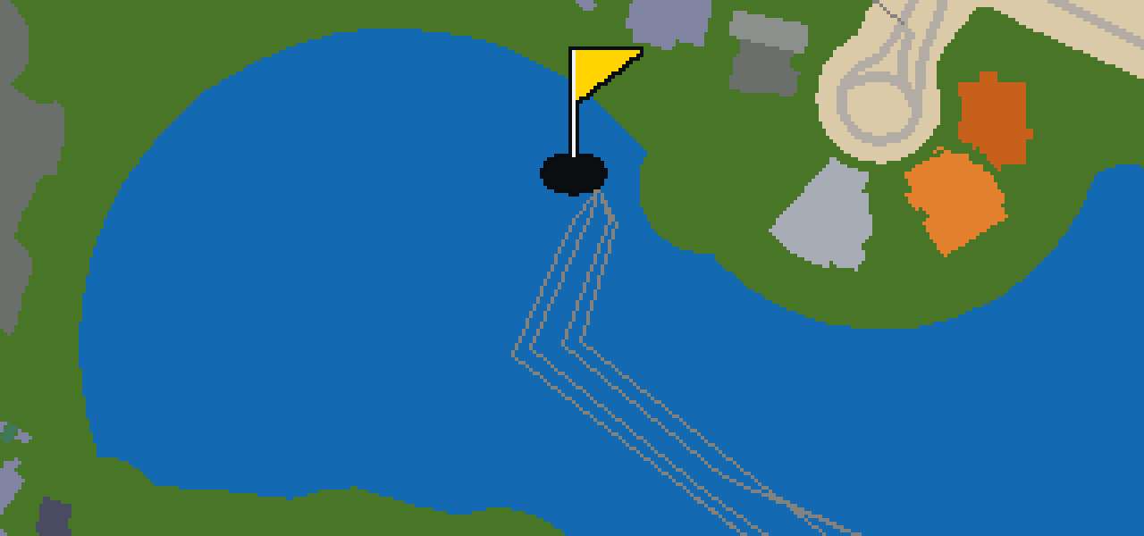
You might expect a navigation beacon here, but the Lions Lighthouse is actually a decorative lighthouse. Located in Shoreline Marina, it was first lit in 2000. The Downtown Long Beach Lions Clubs International funded the project to advertise their services to blind people. If you visit, you can pick out the RMS Queen Mary from the light's location at ShoreLine Aquatic Park. The lighthouse is also situated near the Aquarium of the Pacific and the nearby Rainbow Harbor. It reaches a focal height of 65.62 ft, making it a visible landmark for anyone strolling through the marina. I've noticed the view is particularly clear on sunny afternoons when the light hits the water just right. It is a pleasant spot for a walk before heading into the city center.

Wikidata · Wikipedia

HOLE 3 - PAR 4

B-427 Scorpion

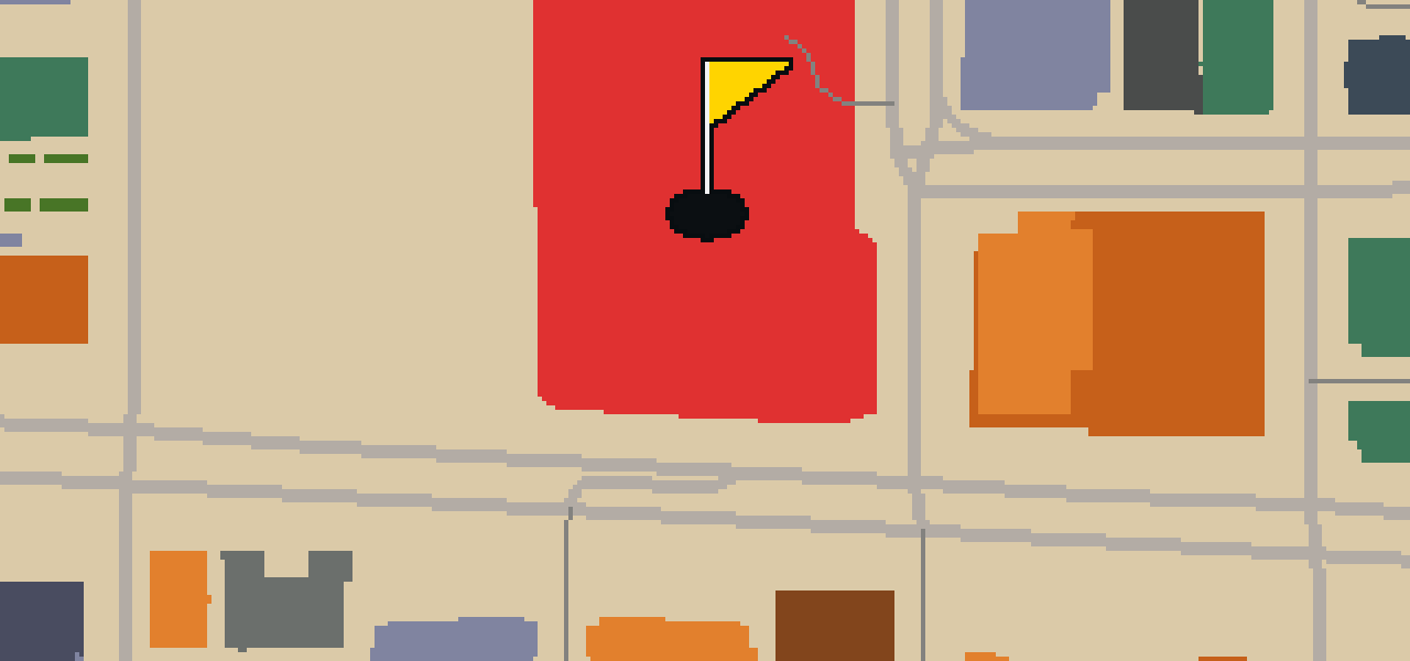
Look closely at the sleek, dark hull of the B-427. This preserved watercraft is a Project 641 diesel-electric attack submarine of the Soviet Navy. Known as a Foxtrot-class submarine, it represents a specific era of naval engineering. If you are wondering about the name, the "B" in its designation stands for большая. I've seen plenty of ships in the harbor, but this one has a presence all its own. It is a rare chance to see the kind of vessel that once patrolled the deep waters of the Pacific. Whether you are a history buff or just curious about cold-war machinery, this submarine provides a tangible link to the naval strategies of the twentieth century.

Wikidata · Wikipedia

HOLE 4 - PAR 3

Shoreline Aquatic Park

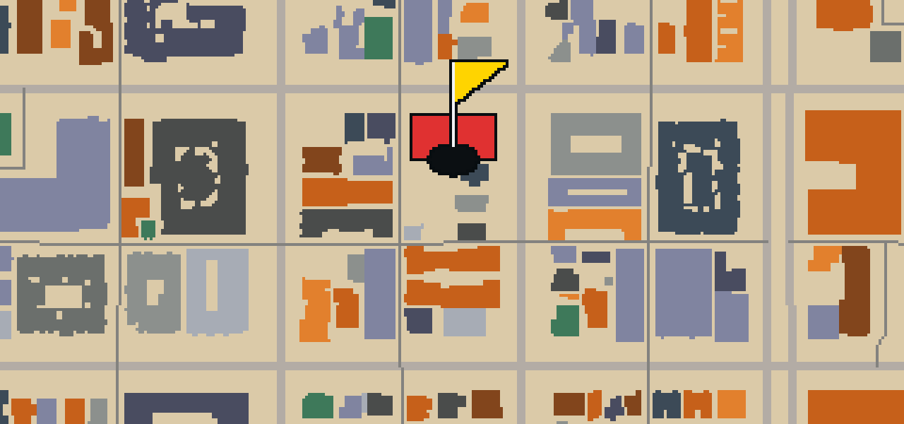
Let me show you Shoreline Aquatic Park. This location is a park. It is a place where you can get some fresh air and enjoy the local environment while you are visiting Long Beach. I think it is a great spot for a stroll.

Wikidata

HOLE 5 - PAR 4

Lincoln Park

This isn't a bustling shopping district or a crowded beach. It is Lincoln Park, a dedicated park providing a breath of fresh air in Long Beach. I like to think of it as a place to slow down and watch the world go by. Whether you are visiting the city for the first time or have lived here for years, having a spot of greenery to relax in is a necessity. You can spend an afternoon here enjoying the open space and the shift in pace from the surrounding urban environment. It is a simple, reliable place to find some peace and quiet while you are exploring the neighborhood. I find it is the perfect spot to shake off some dust from my wings and just enjoy the view.

Wikidata

HOLE 6 - PAR 3

Second Samoan Church, (historic)

You will first notice the Neoclassical architecture style of the Second Samoan Church. This church building is located at 655 Cedar Avenue in Long Beach, California. It is a National Register of Historic Places listed place, having been officially added to that register on April 1, 2005. Before its current use, the structure was formerly the Second Church of Christ, Scientist. The building is a significant part of the local area and provides a clear example of its specific architectural style for visitors to observe. Whether you are interested in the history of the city or simply appreciate the design of historic religious buildings, this site is a notable stop on your journey through the streets of Long Beach.

Wikidata · Wikipedia

HOLE 7 - PAR 3

First Congregational Church

The red brick exterior of First Congregational Church is a prominent sight in downtown Long Beach, California. This church building is designed in the Romanesque Revival architecture style and was built in 1914. It serves as a church of the United Church of Christ. Because of its architectural and local importance, the building has been designated as a Long Beach Historic Landmark. It is also a National Register of Historic Places listed place, having been added to that register in 2012. The church was started in 1914, and the red brick structure continues to be a significant point of interest for those visiting the city center. You can see the Romanesque Revival details throughout the facade as you pass by this historic site.

Wikidata · Wikipedia

HOLE 8 - PAR 3

First Church of Christ Scientist

The First Church of Christ Scientist is a church building located at 440 Elm Avenue in Long Beach, California, United States. It was started and built in 1913, which provides a glimpse into the early development of the city. The building was designed by architect Elmer Grey, who utilized the Classical Revival-style of architecture for the design of the structure. When you look at the building, you can pick out the specific characteristics associated with the Classical Revival-style of architecture. It remains a preserved example of the work produced by Elmer Grey during that period. For those visiting the area, the site is a direct point of reference for the architectural trends that were prevalent in the region during the year 1913.

Wikidata · Wikipedia

HOLE 9 - PAR 3

Museum of Latin American Art

Look for the bold colors and modern forms on display at the Museum of Latin American Art. This art museum is the only one in the United States dedicated to modern and contemporary Latin American and Latino art. Located in Long Beach, California, the nonprofit organization serves the greater Los Angeles area. It was founded in 1996 by Dr. Robert Gumbiner. I have noticed that the vibrancy of the galleries makes the whole building feel like it is humming with energy, which is a great contrast to the usual quiet of a gallery. Whether you are a lifelong art lover or just passing through the city, the collection here offers a perspective you will not find in any other museum in the country. It is a wonderful spot to stop and appreciate the creative spirit of the region.

Wikidata · Wikipedia

STOP 10

St Lukes Episcopal Church

St Lukes Episcopal Church is a church building. This site is a parish of the Episcopal Church in downtown Long Beach, California. It is also a member of the Episcopal Diocese of Los Angeles. You can find the church located on the corner of 7th Street and Atlantic Avenue. The building was started in 1933. It is a registered historic building. Visitors to the downtown area can observe the architecture of this registered historic building as they pass through the neighborhood. Because it is a parish of the Episcopal Church, it maintains a presence in the heart of the city. Whether you are passing through downtown Long Beach or visiting the corner of 7th Street and Atlantic Avenue, the structure is a visible part of the local area.

Wikidata · Wikipedia

OTHER COURSES

9 HOLES - PAR 29

Fayetteville

9 stops

Fayetteville is the setting for this round, where the map is the real city and the ball rolls across its actual streets. The holes are built from real attractions, beginning at the Walton Arts Center. This quick 9-hole round covers 3.6 mi with a par of 29. Skip is a local guide who knows every curb and crack in the pavement.

9 HOLES - PAR 30

Lincoln

9 stops

The ball finds the cup at the Statue of Abraham Lincoln in Lincoln. The map is the real city and the round is played on its real streets, using actual attractions as the holes. This quick 9-hole round covers 4.4 mi with a par of 30. Skip is a local guide who knows these sidewalks well, even the parts where the crumbs are best.

18 HOLES - PAR 55

Duluth

18 stops

This is Duluth. The map is the real city and the round is played on its actual streets, where the ball banks off the facades of real attractions like the SS William A. Irvin to reach the cup. Skip is a local guide who knows every nook and cranny of these sidewalks. It is a full round of 18 holes with a par of 55. The total walk covers 7.1 mi, though a pigeon can take a few shortcuts across the rooftops.

9 HOLES - PAR 29

Traverse City

9 stops

Traverse City is the setting for this quick nine-hole round. The map uses the actual city layout where the ball rolls across real streets and banks off the facades of attractions like the Wise Memorial Clock Tower. Skip knows every ledge and gutter in town. The walk covers 3.8 mi on a course with a par of 29.

9 HOLES - PAR 31

Grand Rapids

9 stops

Banking a ball off the glass and stone of the Van Andel Arena feels different than the soft edges of a park. This round takes place on the real streets of Grand Rapids, where the city map is the course and local attractions are the holes. It is a quick nine-hole round covering 4.4 mi. Skip knows every sidewalk and ledge in this town.

FAQ

Is it free to play?

Yes. Every course runs in the browser with no account and no install.

Do I need to be in the city?

No. The full round plays from anywhere. Walking the real route is a nice way to see the city, but it is not required.

Are the maps real?

Yes. The geometry comes from OpenStreetMap data, rendered chunky on purpose. Streets, water and parks sit where they really are.