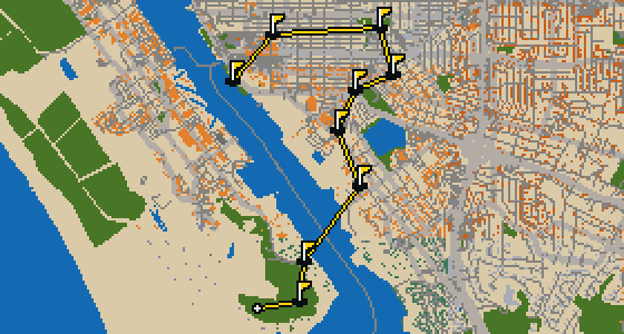
Frederick - 9 stops - par 25
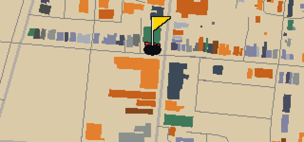
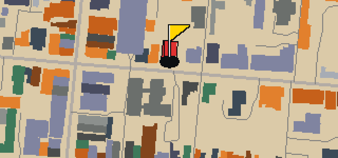
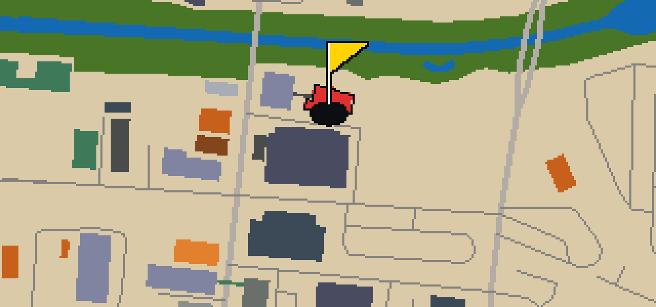
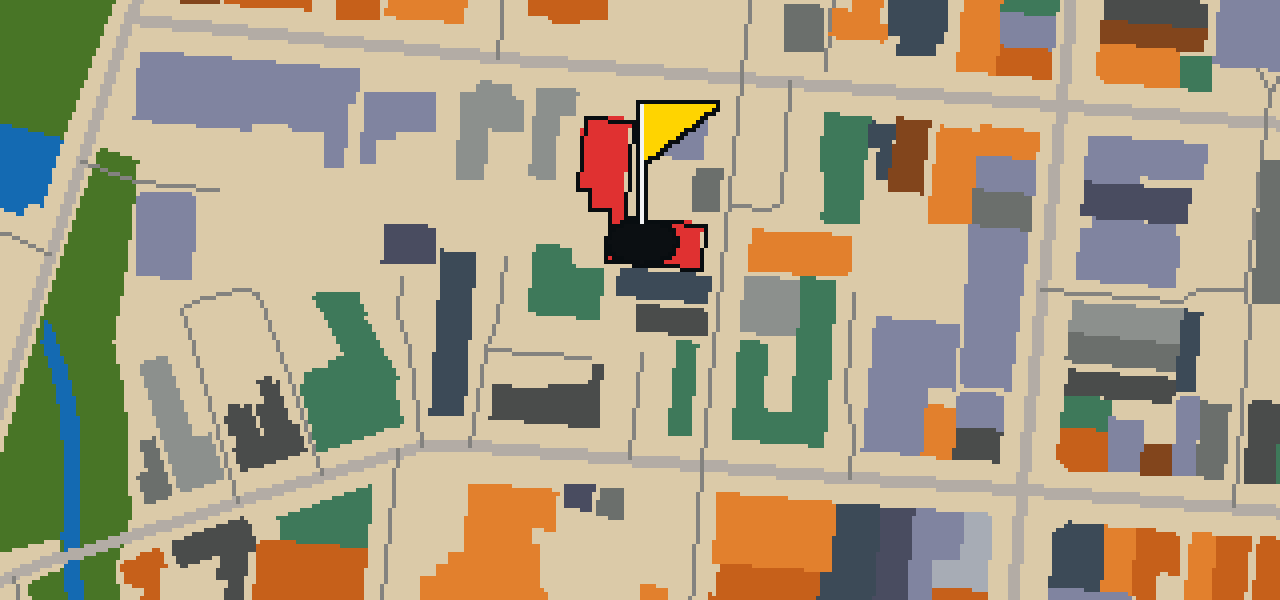
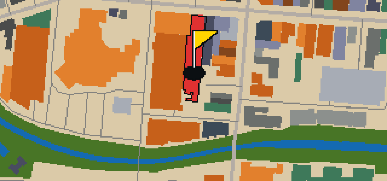
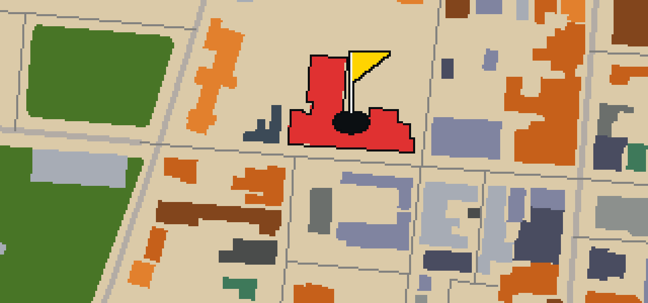
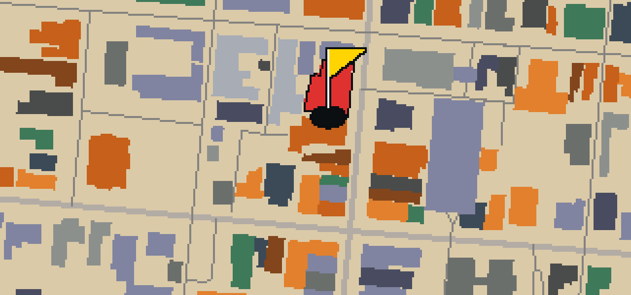
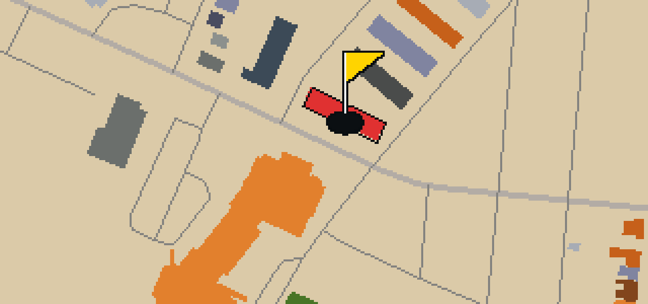
This is a quick nine-hole round through Frederick. The map is the real city and the ball rolls across its actual streets, using local attractions like Carver Park as the holes. Skip is a local guide who knows every sidewalk and shortcut in town, even where the best crumbs are hidden. The walk covers 2.9 mi on foot to complete the course.
The course is drawn on the real street grid, so the map you play is the map you walk.
Drag to aim, release to swing. Buildings bounce and water costs you a stroke.
Every hole ends at an attraction. Sink the putt, read the story, walk to the next tee.
You will find All Saints Episcopal Church at 106 West Church Street in the Historic District of Frederick, Maryland. This church building was founded in 1742, and its inception was in 1860. The structure is built in the Gothic Revival style and was designed by architect Richard Upjohn. It serves as the seat of All Saints Parish, Diocese of Maryland. Visitors to the Historic District can observe the specific details of the Gothic Revival style used by Upjohn in the design of this building. The church remains a significant presence at its location on West Church Street, where it continues to function as the seat of the All Saints Parish within the Diocese of Maryland.
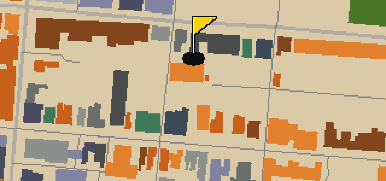
Let me show you Carver Park. This location is a park, providing a spot for visitors to spend time outdoors in the city. I find it is a pleasant place to pause for a moment during a walk. Whether you are passing through or staying for a while, you can pick out the greenery that makes this spot a park.
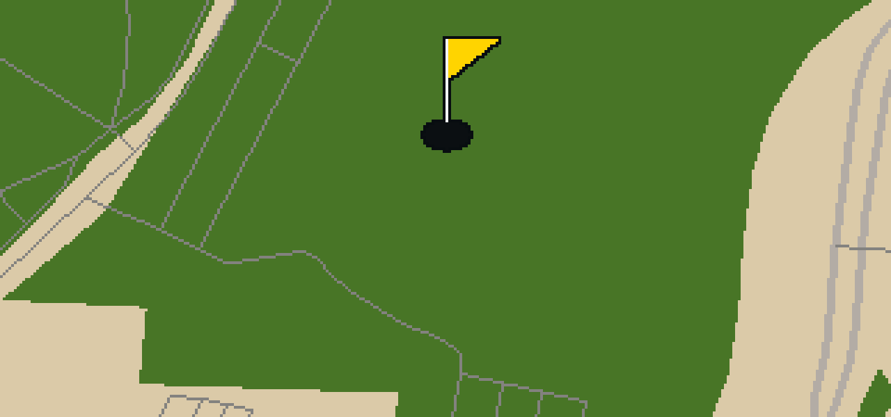
Harry Grove Stadium is a sports venue in Frederick, Maryland. It was started in 1990 and was designed by the architect Ellerbe Becket. This site is primarily used for baseball, as Nymeo Field at Harry Grove Stadium is the home of the Frederick Keys. The Keys are a Minor League Baseball team that competes in the South Atlantic League. When you visit the grounds, you will find that Nymeo Field can seat 5,400 fans. I've noticed the energy here is always high when the home team is playing, and the atmosphere makes it a great spot for any sports fan to spend an afternoon. Whether you are here for the game or just passing through the city, the layout of the stadium is a highlight of the local sports scene.
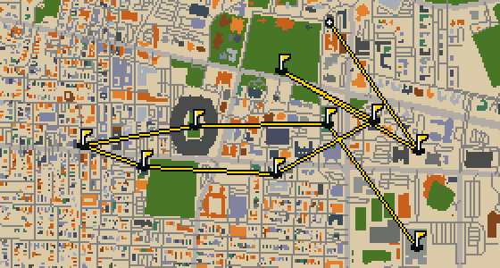
Tuscaloosa is the setting for this round, played on the actual city streets. The map uses real attractions like Bryant-Denny Stadium to build the holes, turning the town into a course. Skip knows these sidewalks well, having spent plenty of time dodging crumbs on the way to the cup. This quick 9-hole round covers 3.2 mi with a total par of 26.
Oceanside is the setting for this round, with the ball rolling across the real streets of the city. The holes are built from actual attractions, like the Oceanside Museum of Art. Skip is a local guide who knows every curb and crumb. This quick 9-hole round covers 3.6 mi on foot with a par of 28.
The Vallejo Naval and Historical Museum is the end of this quick nine-hole round. The map is the real city and the ball rolls across its actual streets, banking off building facades. Local attractions provide the structure for each hole. Skip knows these sidewalks well, including the 3.7 mi walk and the two portals used to bridge the gaps.
Salinas is the setting for this round, with the ball rolling across the actual city streets. The holes are built from real attractions, including the National Steinbeck Center. Skip knows these sidewalks well and has a few feathers in the wind. This quick round of 9 holes has a par of 28 and covers a total walk of 3.7 mi.
Danbury is the setting for this round, where the map is the real city and the ball rolls along its actual streets. The holes are built from real attractions, ending at Wooster Square. Skip is a local guide who knows the pavement well. A quick 9-hole round covers 3.4 mi with a total par of 27.
Yes. Every course runs in the browser with no account and no install.
No. The full round plays from anywhere. Walking the real route is a nice way to see the city, but it is not required.
Yes. The geometry comes from OpenStreetMap data, rendered chunky on purpose. Streets, water and parks sit where they really are.