
CLARKSVILLE - 9 HOLES - FREE

CLARKSVILLE
CITY MAP MINIGOLF

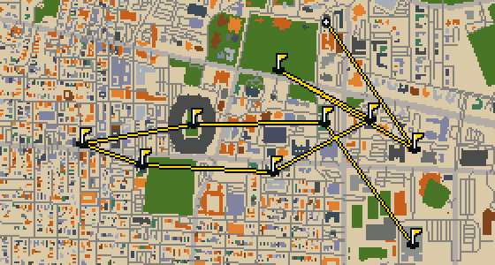
Clarksville - 9 stops - par 28

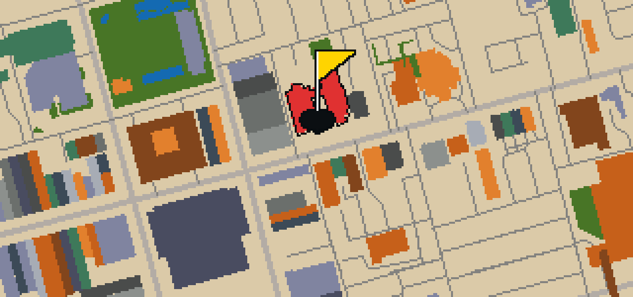
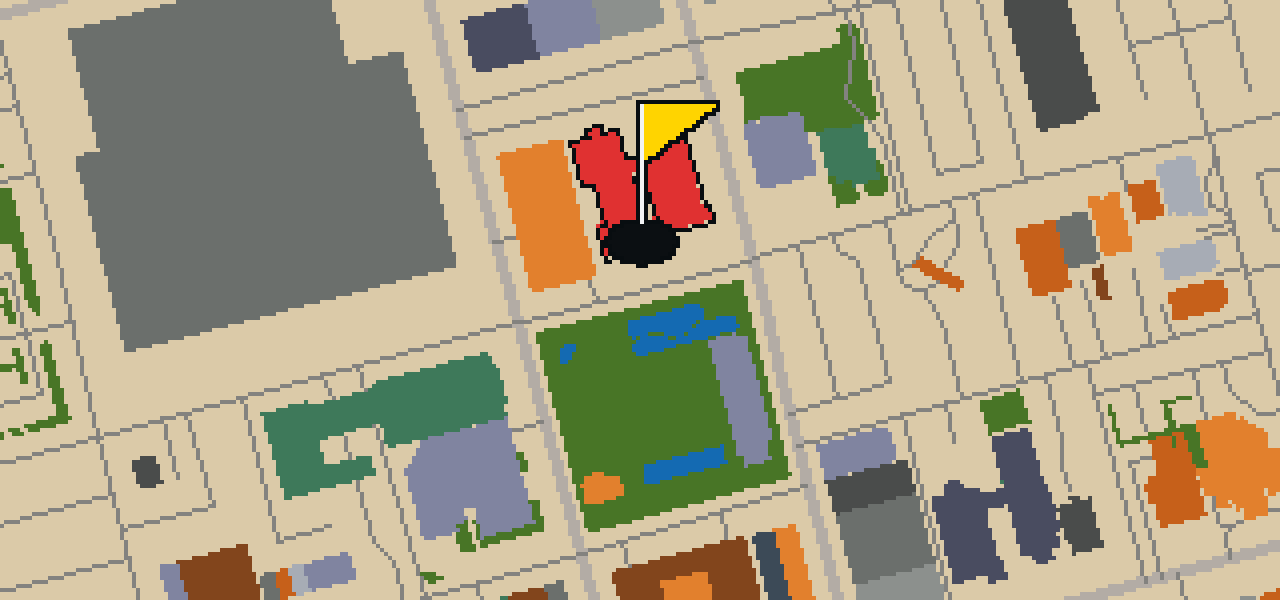
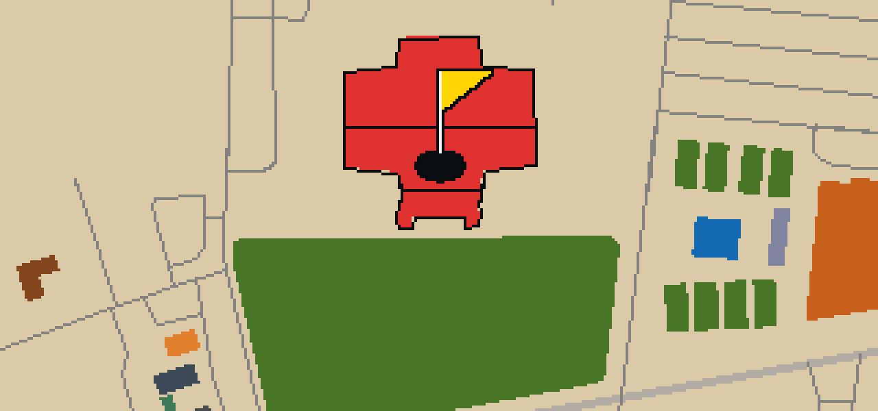
Banking a ball off the brick and stone of the Customs House Museum requires a steady wing and a soft touch. This round takes place on the actual streets of Clarksville, where the real city map is the course. Local attractions provide the physical layout for the holes. Skip knows every alley here, guiding a quick 9-hole round with a par of 28 over a 3.7 mi walk.

Trouble loading? Open the game in its own tab.

HOW IT WORKS

01

Pick a city

The course is drawn on the real street grid, so the map you play is the map you walk.

02

Putt to the pin

Drag to aim, release to swing. Buildings bounce and water costs you a stroke.

03

Sightsee between strokes

Every hole ends at an attraction. Sink the putt, read the story, walk to the next tee.

THE CLARKSVILLE ROUND - STOP BY STOP

HOLE 1 - PAR 4

Liberty Park

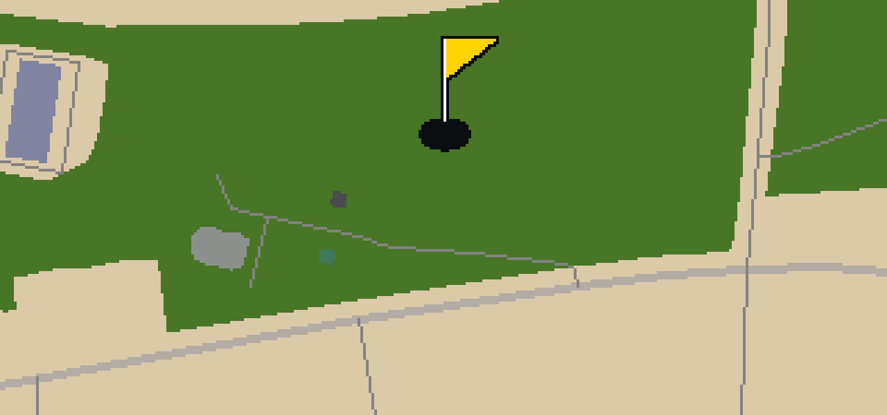
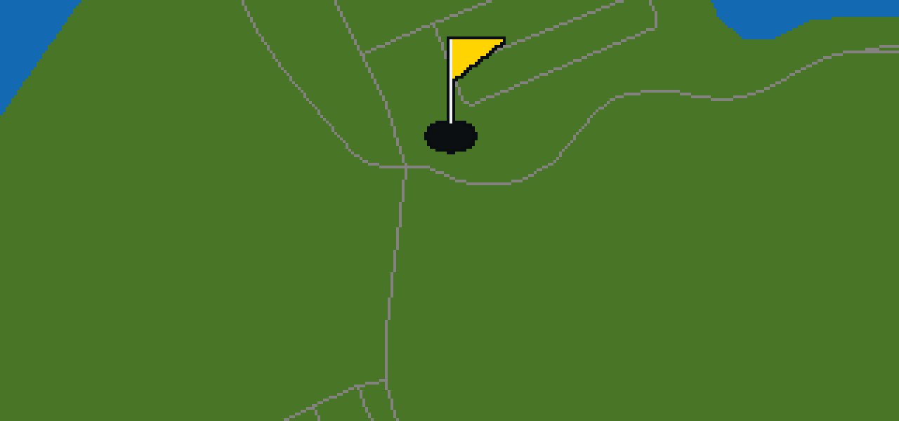
Look for the open greenery first, then you will see the full layout of Liberty Park. This location is a park, providing a dedicated space for visitors to spend time outdoors. I find it is a nice spot to stretch your legs while you are exploring the city. Whether you are here for a stroll or just passing through on your way to another landmark, the area offers a simple, pleasant environment for everyone in Clarksville.

Wikidata

HOLE 2 - PAR 4

Riverside Church

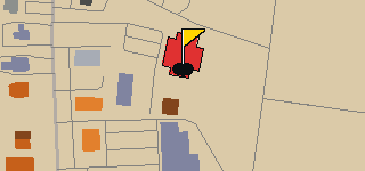
Riverside Church is a church building designed in the Gothic Revival style. The architect of the structure was Allen & Collens, and work on the building started in 1927. It is an interdenominational church located in the Morningside Heights neighborhood of Manhattan in New York City, United States. The building reaches a height of 119.48 meters. Because of its significance, it is a New York City Landmark and is listed on both the National Register of Historic Places and the New York State Register of Historic Places. These designations recognize the building's place within the city and the state, as well as its standing on the national register.

Wikidata · Wikipedia

HOLE 3 - PAR 3

Valley Brook Park

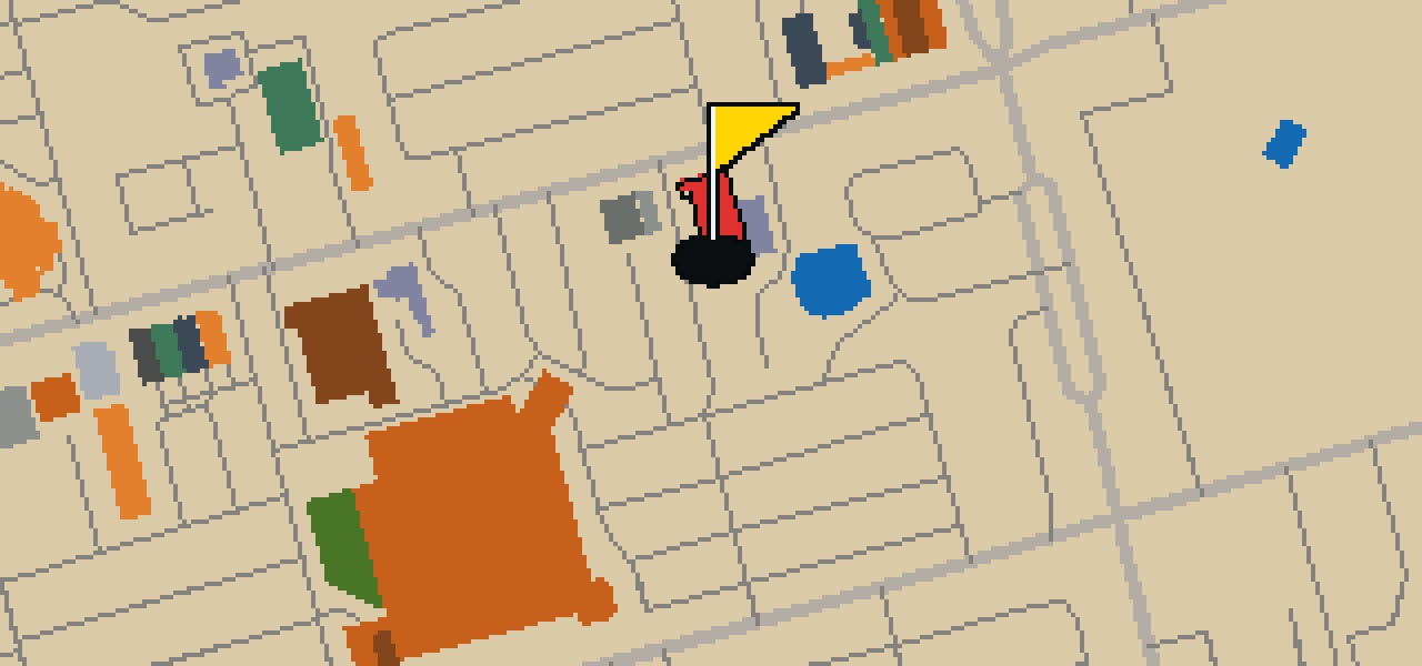
Let me show you where this spot sits in Clarksville. You will find Valley Brook Park here, providing a dedicated space for those who want to step away from the pavement. It is a park where visitors can spend time outdoors. I find it is a pleasant place to stop and take a breath while you are moving through the city.

Wikidata

HOLE 4 - PAR 3

Customs House Museum

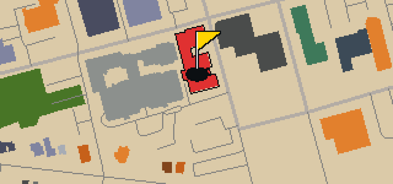
You can't miss the distinctive architecture of the Customs House Museum. Designed by William Martin Aiken in the Stick and Queen Anne styles, the building is located on 200 South 2nd Street in the Downtown District. It began as a construction project from 1897 to 1898 and later became a National Register of Historic Places listed place. In 1972, it was specifically listed on that register as the Clarksville Federal Building. Today, it is known as Tennessee's second largest general interest museum, offering a massive space for visitors to explore. I've noticed that the intricate exterior details make it one of the most photogenic spots for a stroll through downtown.

Wikidata · Wikipedia

HOLE 5 - PAR 3

St Peter African Methodist Church

St. Peter African Methodist Church is a Protestant church building that was constructed in 1873. The structure was built in the Gothic Revival style, and it remains an important landmark within the city. Its historical and architectural significance was formally recognized decades later when the church was added to the National Register of Historic Places in 1982. This listing ensures that the site is recognized as a National Register of Historic Places listed place. Visitors can find the church located at 518 Franklin Street in Clarksville, Tennessee, United States. Whether you are interested in the city's religious history or the specific details of nineteenth-century architecture, this site provides a clear example of the Gothic Revival influence in the region.

Wikidata · Wikipedia

HOLE 6 - PAR 2

Roxy Regional Theatre

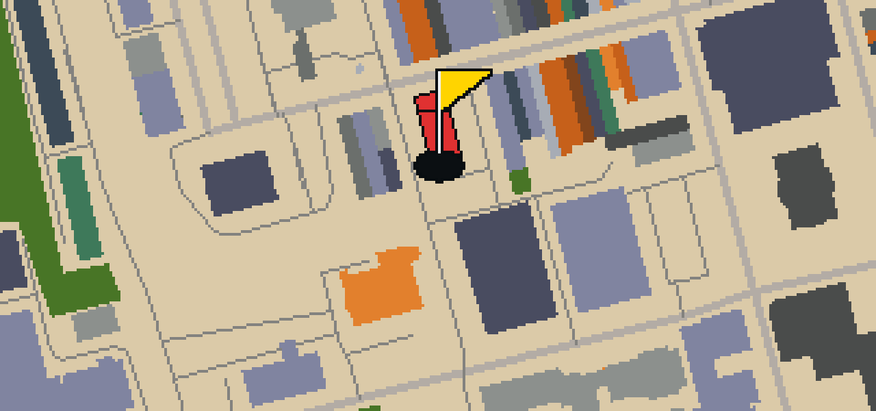
You will see the Roxy Regional Theatre sitting right on a corner of the Public Square in the historic downtown section of Clarksville, Tennessee. It is a movie theater and theatre building that offers live theater shows to the public. While the current structure was built in 1947, the site has a longer history of entertainment. Before the Roxy was established, the Lilian Theater occupied this space until it burned down in 1945. I have found that the Public Square is a great spot for people-watching while you decide which show to catch. Whether you are visiting for a film or a live performance, this landmark is a central part of the downtown experience.

Wikidata · Wikipedia

HOLE 7 - PAR 3

Trinity Episcopal Church

You will find Trinity Episcopal Church located at 317 Franklin Street in Clarksville, Tennessee. This historic church building is a significant site within the city's layout. It is a place of worship that carries a recognized status in the community. Both the church and its rectory are listed on the National Register of Historic Places as Trinity Church and Rectory. This listing signifies the building's importance as a historic church and preserves the connection between the sanctuary and the rectory. Visitors can observe the architecture and the presence of the site as it exists today on Franklin Street. It remains a quiet point of interest for those exploring the local area, providing a direct link to the historical development of the region through its official recognition on the National Register of Historic Places.

Wikidata · Wikipedia

HOLE 8 - PAR 3

Immaculate Conception Catholic Church

The Immaculate Conception Catholic Church is a Roman Catholic church building located at 716 Franklin Street in Clarksville, Tennessee. This historic church was started in 1880 and is a National Register of Historic Places listed place. Visitors to the city can find this site on Franklin Street, where the architecture and history of the building are preserved. It is a place of worship that has remained a part of the local community since its start in 1880. As a National Register of Historic Places listed place, the church is recognized for its significance to the area. Whether you are interested in the history of the region or the specific details of a historic church building, this site provides a direct look at the religious heritage of Clarksville.

Wikidata · Wikipedia

HOLE 9 - PAR 3

First Presbyterian Church

The congregation of First Presbyterian Church is currently affiliated with the Presbyterian Church (USA). They established this church building at 213 Main Street in Clarksville, Tennessee. This historic church is recognized for its significance to the area and is a National Register of Historic Places listed place. Visitors to this part of the city can find the building situated along Main Street, where it remains an active place of worship. The structure is a key example of the city's early religious architecture and serves as a focal point for the local community. Because it is listed on the National Register of Historic Places, the building is preserved as a testament to the history of the Presbyterian faith in Tennessee and the growth of Clarksville as a center of commerce and faith.

Wikidata · Wikipedia

STOP 10

Winfield Dunn Center

You will first notice the massive scale of the Winfield Dunn Center, a 132,000-square-foot arena located on the main campus of Austin Peay State University in Clarksville, Tennessee. It is a hub of activity for the university's athletics and academics. The building houses the David P. Roe Academic Services Center and is the home of Peay's women's volleyball team. For a long time, it also served as the home for the Austin Peay Governors men's and women's basketball teams through the 2022–23 season. I've noticed that the energy here really peaks during the big game days when the crowds gather. Whether you are here for the sports or the academic services, the size of the facility makes it a prominent landmark on the campus grounds for any visitor to see.

Wikidata · Wikipedia

OTHER COURSES

9 HOLES - PAR 26

Tuscaloosa

9 stops

Tuscaloosa is the setting for this round, played on the actual city streets. The map uses real attractions like Bryant-Denny Stadium to build the holes, turning the town into a course. Skip knows these sidewalks well, having spent plenty of time dodging crumbs on the way to the cup. This quick 9-hole round covers 3.2 mi with a total par of 26.

9 HOLES - PAR 28

Oceanside

9 stops

Oceanside is the setting for this round, with the ball rolling across the real streets of the city. The holes are built from actual attractions, like the Oceanside Museum of Art. Skip is a local guide who knows every curb and crumb. This quick 9-hole round covers 3.6 mi on foot with a par of 28.

9 HOLES - PAR 29

Vallejo

9 stops

The Vallejo Naval and Historical Museum is the end of this quick nine-hole round. The map is the real city and the ball rolls across its actual streets, banking off building facades. Local attractions provide the structure for each hole. Skip knows these sidewalks well, including the 3.7 mi walk and the two portals used to bridge the gaps.

9 HOLES - PAR 28

Salinas

9 stops

Salinas is the setting for this round, with the ball rolling across the actual city streets. The holes are built from real attractions, including the National Steinbeck Center. Skip knows these sidewalks well and has a few feathers in the wind. This quick round of 9 holes has a par of 28 and covers a total walk of 3.7 mi.

9 HOLES - PAR 27

Danbury

9 stops

Danbury is the setting for this round, where the map is the real city and the ball rolls along its actual streets. The holes are built from real attractions, ending at Wooster Square. Skip is a local guide who knows the pavement well. A quick 9-hole round covers 3.4 mi with a total par of 27.

FAQ

Is it free to play?

Yes. Every course runs in the browser with no account and no install.

Do I need to be in the city?

No. The full round plays from anywhere. Walking the real route is a nice way to see the city, but it is not required.

Are the maps real?

Yes. The geometry comes from OpenStreetMap data, rendered chunky on purpose. Streets, water and parks sit where they really are.