
CHARLESTON - 18 HOLES - FREE

CHARLESTON
CITY MAP MINIGOLF

Charleston - 18 stops - par 60

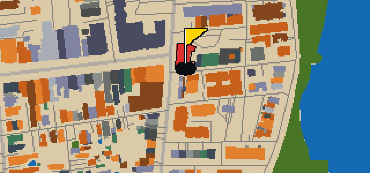
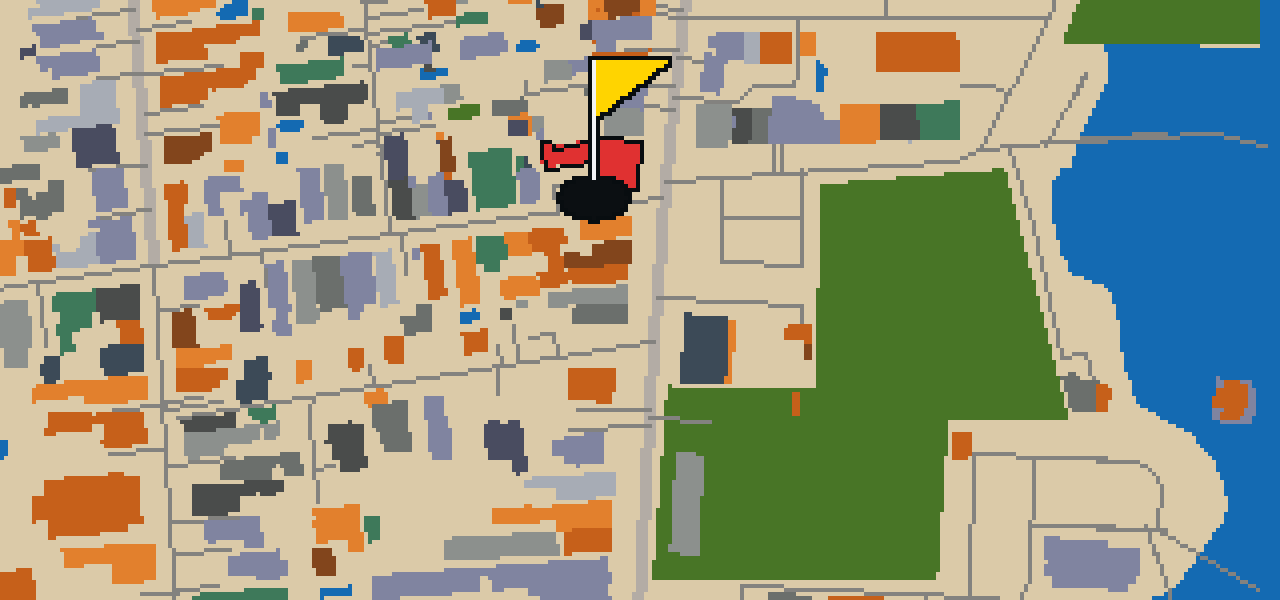
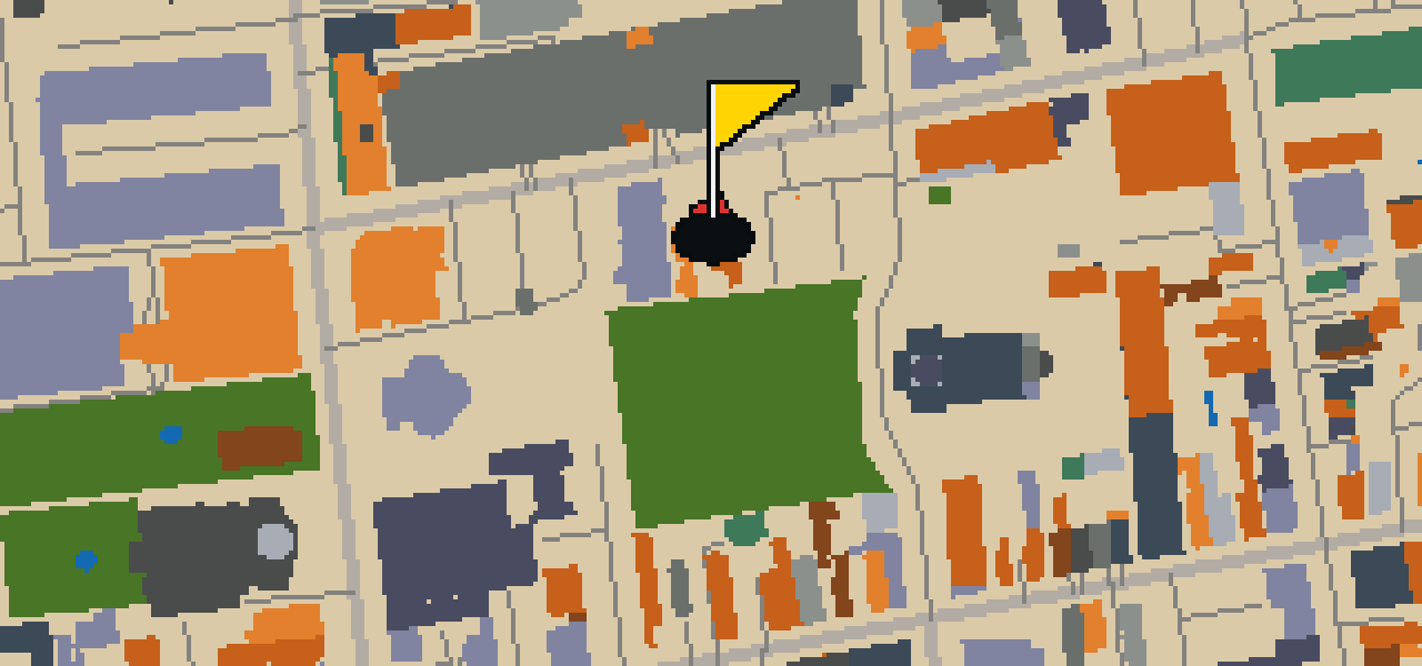
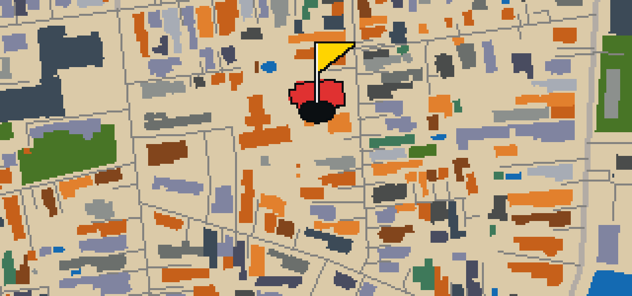
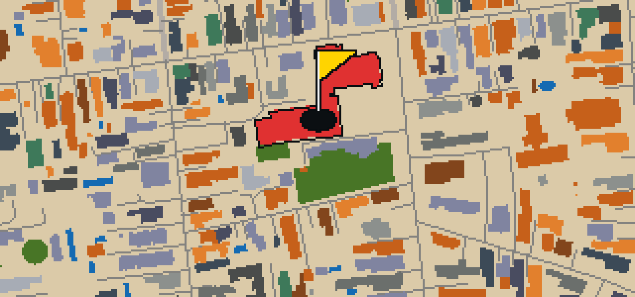
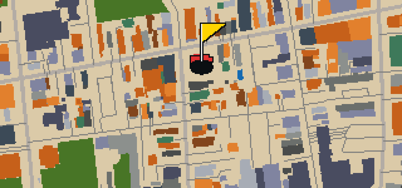
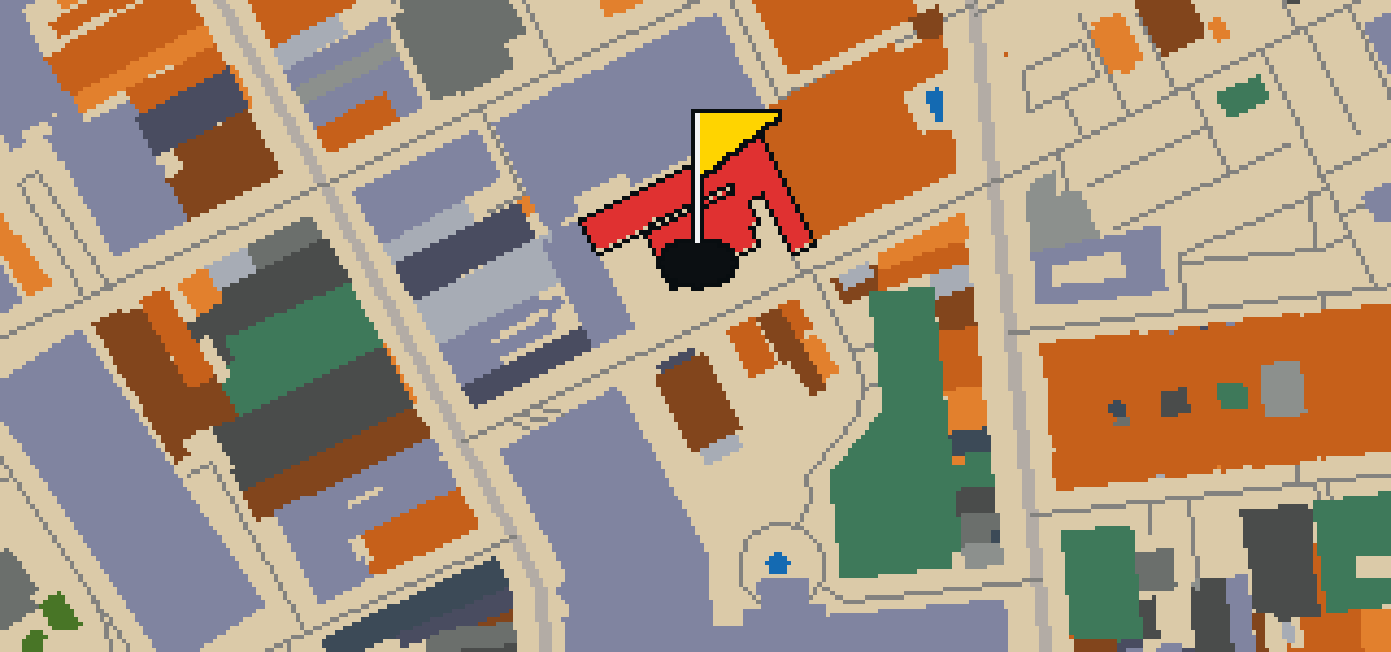
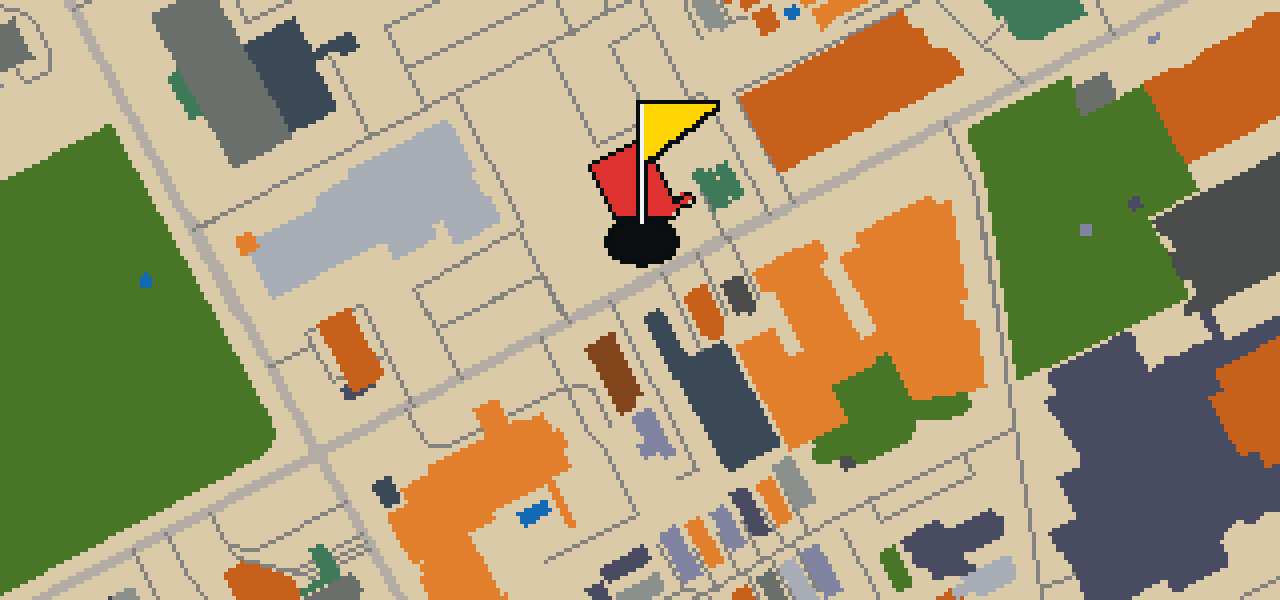
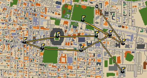
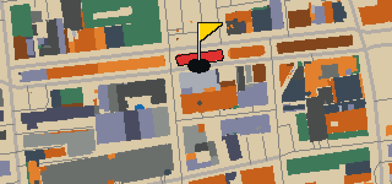
This is a full 18-hole round through Charleston. The map is the real city and the ball rolls along its actual streets, banking off building facades. Local attractions like the South Carolina Aquarium are the landmarks that form the holes. Skip knows every sidewalk here, even if a few stray crumbs usually distract the guide. The course covers 7.6 mi and uses 6 portals to bridge the gaps between distant districts, keeping the pace steady as the round unfolds.

Trouble loading? Open the game in its own tab.

HOW IT WORKS

01

Pick a city

The course is drawn on the real street grid, so the map you play is the map you walk.

02

Putt to the pin

Drag to aim, release to swing. Buildings bounce and water costs you a stroke.

03

Sightsee between strokes

Every hole ends at an attraction. Sink the putt, read the story, walk to the next tee.

THE CHARLESTON ROUND - STOP BY STOP

HOLE 1 - PAR 4

Model of the Civil War Submarine, H.L. Hunley

Look closely at the narrow, iron hull of this model. It represents the H.L. Hunley, a human-powered attack submarine of the Confederate States of America. This vessel fought in the American Civil War and is listed on the National Register of Historic Places. It is most famous for being the first combat submarine to sink a warship, the USS Housatonic. I always find the sheer size of the crew compared to the tight space of the hull quite something to think about while you stand here.
Wikidata · Wikipedia

HOLE 2 - PAR 4

International African American Museum

You will find the International African American Museum at a former shipping wharf in Charleston, South Carolina. This location is significant because approximately 40% of the nation's enslaved persons disembarked here. The museum of African-American history is a nonprofit organization that opened in 2023. Its inception was in 2002, and the project opened after 20 years of planning. I have noticed that the breeze coming off the water here always feels a bit heavier than in other parts of the city. It is a place that asks you to slow down and reflect on the history of the ground beneath your feet.

Wikidata · Wikipedia

HOLE 3 - PAR 3

Charleston City Market

Charleston City Market is a market designed by architect Edward Brickell White. It is built in the Greek Revival architecture style and is listed on the National Register of Historic Places. When you visit, you can walk through the series of one-story market sheds that make up the site. I've found that the sheer scale is the first thing you notice, as the market stretches for four city blocks. It is a sprawling place to explore, and since it is a National Historic Landmark, there is plenty of history to take in while you wander the sheds.

Wikidata · Wikipedia

HOLE 4 - PAR 3

Old Exchange & Provost Dungeon

Located at East Bay and Broad Streets in Charleston, South Carolina, the Old Exchange & Provost Dungeon is a custom house. It is also known as the Custom House and The Exchange. During the American Revolutionary War, British forces operated the building as a prisoner of war facility. It is now a museum operated by the Daughters of the American Revolution. The site was listed on the National Register of Historic Places and was designated a National Historic Landmark in 1973. I've found that the street corners here are great spots for watching the city move.

Wikidata · Wikipedia

HOLE 5 - PAR 3

Gibbes Museum of Art

You will first notice the Beaux Arts building at 135 Meeting Street, which is where the Gibbes Museum of Art has been located since 1905. Situated in the Charleston Historic District, this art museum was formerly known as the Gibbes Art Gallery. I like how the architecture fits right into the neighborhood. The institution traces its roots back to 1858, when it was established as the Carolina Art Association. Today, it operates as a nonprofit organization and maintains a collection of over 10,000 works of fine art for visitors to explore.

Wikidata · Wikipedia

HOLE 6 - PAR 3

Rainbow Row (South End)

You can find Rainbow Row on East Bay Street, situated at 79 to 107. This row of thirteen colorful historic houses is one of the most photographed parts of Charleston. The name was coined because of the pastel colors used as the houses were restored in the 1930s and 1940s. It is a popular tourist attraction for anyone visiting the South End. I've noticed the colors really pop against the street, making it a great spot for a quick break in your walk.

Wikidata · Wikipedia

HOLE 7 - PAR 3

The Powder Magazine

Located at 79 Cumberland Street, the Powder Magazine is a gunpowder magazine and museum. It was completed in 1713 and is the oldest surviving public building in the former Province of Carolina. The site was used as a gunpowder store through the American Revolutionary War. Since the early 1900s, the National Society of the Colonial Dames of America has operated the building as a museum. It is a National Register of Historic Places listed place and was designated a National Historic Landmark in 1972 and 1989. I think the thick walls make it feel quite sturdy compared to the newer spots around here.

Wikidata · Wikipedia

HOLE 8 - PAR 3

Cathedral of St. John the Baptist

The Cathedral of St. John the Baptist is a Catholic cathedral located in Charleston, South Carolina. It serves as the mother church of the Roman Catholic Diocese of Charleston. Patrick Charles Keely was the architect of the building, which was designed in the Gothic Revival style. Construction of the current cathedral began in 1890 to replace a previous cathedral that burned down in 1861. After years of work, the cathedral was dedicated in 1907. You can see the influence of the Gothic Revival style in the architecture of the building as you pass by.

Wikidata · Wikipedia

HOLE 10 - PAR 3

To The Defenders of Fort Moultrie

Let me show you a sculpture in White Point Garden. This monument depicts Sergeant William Jasper and is also commonly known as the Jasper Monument. Started in 1877, the work was dedicated to all South Carolina militiamen involved in the Battle of Sullivan's Island during the American Revolutionary War. You can pick out the detail in the figure as you pass by. I usually see a few tourists pausing here to read the dedication before heading back toward the waterfront.

Wikidata · Wikipedia

HOLE 11 - PAR 3

First (Scots) Presbyterian Church

First (Scots) Presbyterian Church is a church building located at 53 Meeting St., Charleston, South Carolina. The current structure was started in 1814 and is designed in the Neoclassical architecture style. Although the building is from the nineteenth century, the history of the community is older; the congregation was established in 1731. This particular group was created when a dozen Scottish residents left the Independent Church of Charleston to establish the congregation. You can see the influence of that heritage in the enduring presence of the church on Meeting Street.

Wikidata · Wikipedia

HOLE 12 - PAR 3

French Huguenot Church

The French Huguenot Church is a church building located at 136 Church Street in Charleston, South Carolina. Started in 1844, the structure was designed by architect Edward Brickell White in the Gothic Revival style. It is listed on the National Register of Historic Places and is a National Historic Landmark. While this specific building was started in 1844, the congregation served by the church traces its origins to the 1680s.

Wikidata · Wikipedia

HOLE 13 - PAR 3

Kahal Kadosh Beth Elohim Synagogue

Founded in 1840, Kahal Kadosh Beth Elohim is a Reform Jewish congregation and synagogue located in Charleston, South Carolina. When you look at the building, you can pick out the Greek Revival architecture style, which was the vision of the architect Cyrus L. Warner. Because of its significance to the community and the country, the site is a National Historic Landmark. It is also listed on the National Register of Historic Places, marking it as a place of lasting historical importance in the United States.

Wikidata · Wikipedia

HOLE 14 - PAR 4

Emanuel African Methodist Episcopal Church

Located in Charleston, Emanuel African Methodist Episcopal Church is a church building designed by architect John Henry Devereux. It is the oldest AME church in the Southern United States and is listed as a National Register of Historic Places contributing property. The building is designed in the Gothic Revival style and is also a National Register of Historic Places listed place. Its inception was in 1816, and the church was founded in 1817. You can see the Gothic Revival influence in the structure as you approach the site from the street.

Wikidata · Wikipedia

HOLE 15 - PAR 4

South Carolina Aquarium

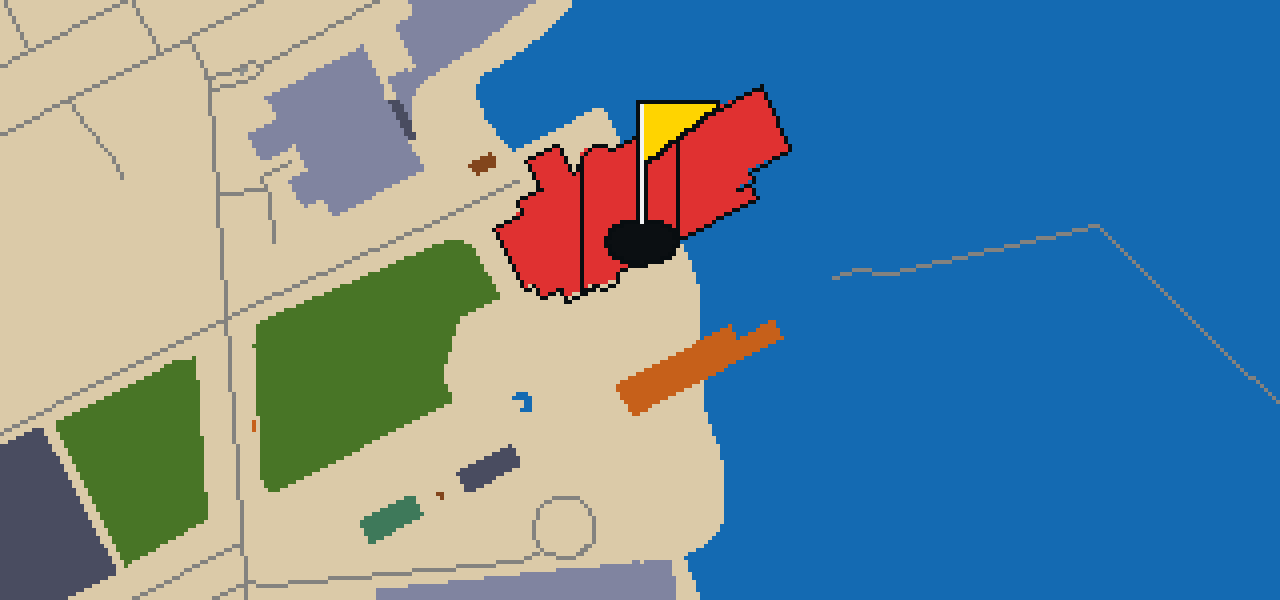
The Great Ocean Tank stands at 42 feet deep, making it a centerpiece of the South Carolina Aquarium. Located in downtown Charleston, this nonprofit public aquarium opened on May 19, 2000. You can wander through dozens of exhibits spanning two stories to see more than 5,000 resident animals. It is accredited by the Association of Zoos and Aquariums. I've noticed the light hitting the water in the big tank is a great spot for a midday break, and it's always a treat to see the fish glide past while you're standing there.

Wikidata · Wikipedia

HOLE 16 - PAR 4

Marion Square

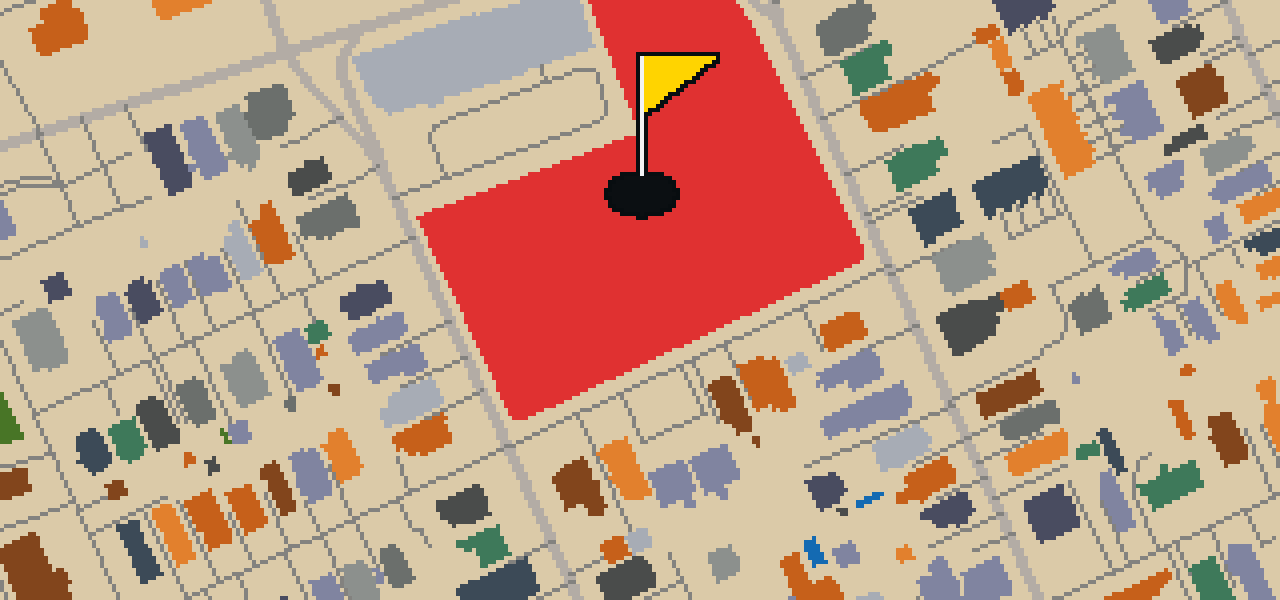
Let me show you Marion Square, a ten-acre public park in downtown Charleston. This urban green space was established as a parade ground for the state arsenal, and it was named in honor of Francis Marion. If you look toward the arsenal, you can pick out where The Citadel was located from 1843 until 1922. It is a great spot to stretch your legs before you head back into the bustle of the city. I find the wide open grass is a nice break from the narrow city streets, providing plenty of room for everyone to enjoy.

Wikidata · Wikipedia

HOLE 17 - PAR 3

Cannon Park

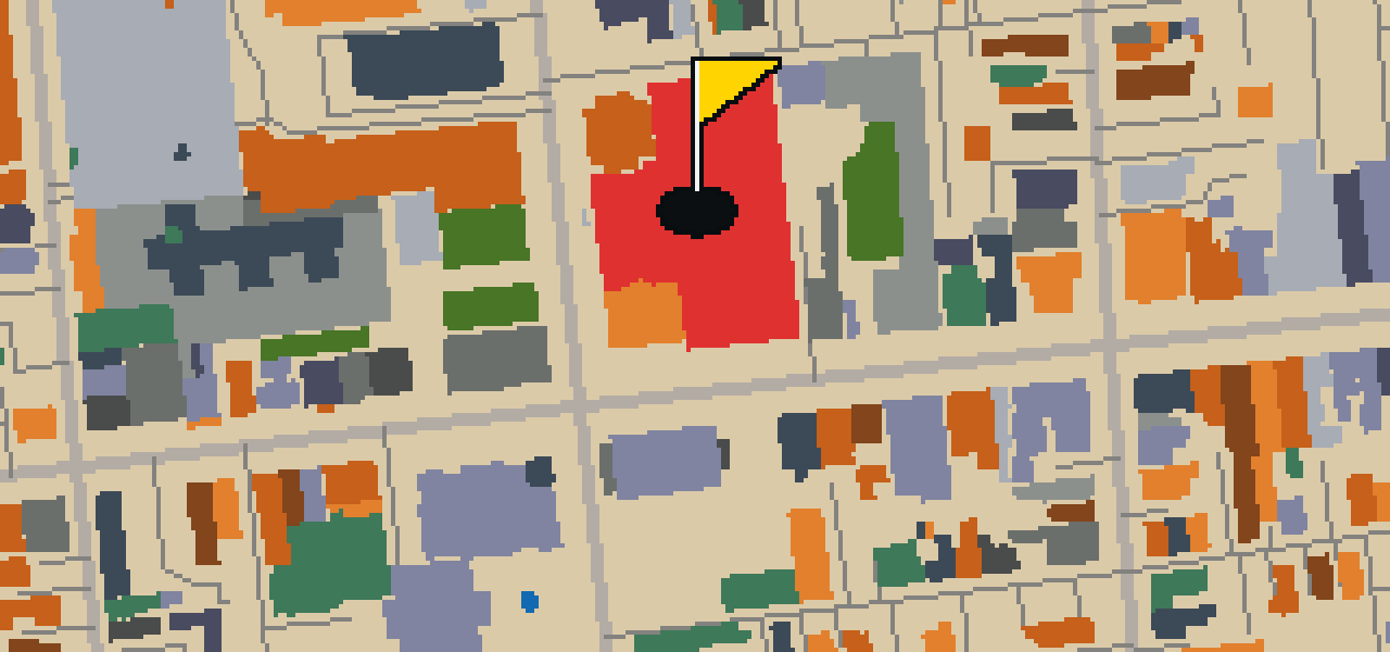
Let me show you Cannon Park. This public park was started in 1985 and covers 2.7 acres in peninsular Charleston, South Carolina. It is a handy spot for a break while you are exploring the city. You can pick out its boundaries easily: it is bound to the north by Calhoun St. and to the south by Bennett St. To the east, you will find Rutledge Ave., while Ashley Ave. sits to the west. I find it a nice place to stretch my wings between the busy streets.

Wikidata · Wikipedia

HOLE 18 - PAR 4

Colonial Lake Park

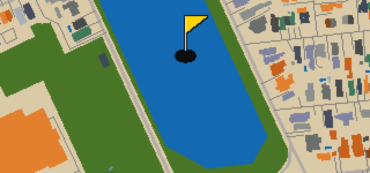
Colonial Lake Park is a park and lake featuring a tidal pond in Charleston, South Carolina. Established in 1881, the site acquired the name Colonial Lake that same year. It honors the Colonial Commons established in 1768. I've noticed it is a great place to pause and watch the water move. Before it became the landmark you see today, the lake was known as the Rutledge Street Pond for many years. It is a peaceful stretch of greenery that breaks up the city streets, providing a view of the water and a bit of breathing room for everyone passing through.

Wikidata · Wikipedia

STOP 19

Washington Square

George Washington is the namesake of this downtown Charleston park. Established in 1818, Washington Square is located in the Charleston Historic District at the corner of Meeting Street and Broad Street, tucked behind City Hall. You can still walk the red brick paths and see the planting beds that were installed in April 1881. The park was originally known as City Hall Park until October 19, 1881, when it was renamed. By December 1881, the new name was painted over the gates. I've noticed it's a great spot to catch your breath between the busy streets.

Wikidata · Wikipedia

OTHER COURSES

9 HOLES - PAR 28

Oceanside

9 stops

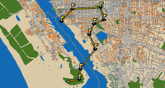
Oceanside is the setting for this round, with the ball rolling across the real streets of the city. The holes are built from actual attractions, like the Oceanside Museum of Art. Skip is a local guide who knows every curb and crumb. This quick 9-hole round covers 3.6 mi on foot with a par of 28.

9 HOLES - PAR 28

Salinas

9 stops

Salinas is the setting for this round, with the ball rolling across the actual city streets. The holes are built from real attractions, including the National Steinbeck Center. Skip knows these sidewalks well and has a few feathers in the wind. This quick round of 9 holes has a par of 28 and covers a total walk of 3.7 mi.

9 HOLES - PAR 27

Danbury

9 stops

Danbury is the setting for this round, where the map is the real city and the ball rolls along its actual streets. The holes are built from real attractions, ending at Wooster Square. Skip is a local guide who knows the pavement well. A quick 9-hole round covers 3.4 mi with a total par of 27.

FAQ

Is it free to play?

Yes. Every course runs in the browser with no account and no install.

Do I need to be in the city?

No. The full round plays from anywhere. Walking the real route is a nice way to see the city, but it is not required.

Are the maps real?

Yes. The geometry comes from OpenStreetMap data, rendered chunky on purpose. Streets, water and parks sit where they really are.