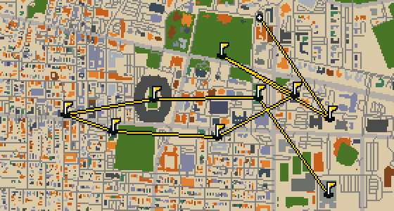
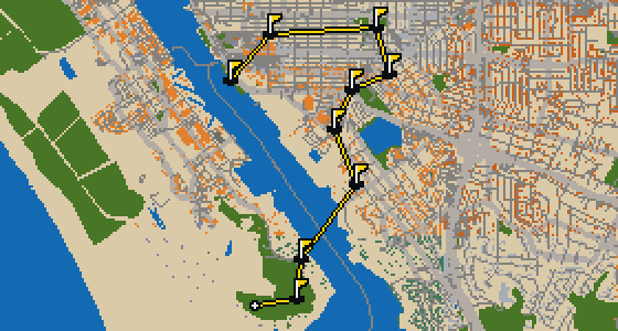
THE BOSTON ROUND - STOP BY STOP




Church of the Covenant
Richard M. Upjohn designed the Church of the Covenant, a church building located at 67 Newbury Street in Boston's Back Bay neighborhood. Built between 1865 and 1867 by the Central Congregational Church, the site is listed on the National Register of Historic Places. It is affiliated with the United Church of Christ and the Presbyterian Church. You can see the influence of Tiffany & Co. throughout the interior of this National Historic Landmark, which stands at a height of 71.93 meters.
Shubert Theatre
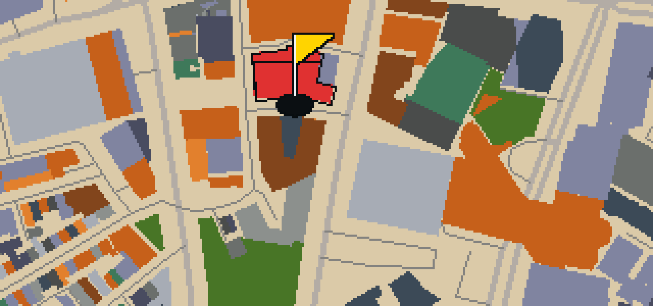
You can find the Shubert Theatre at 263–265 Tremont Street within the Boston Theater District. This theatre building is a National Register of Historic Places listed place, with its inception occurring in 1910. In addition to its role as a theatre building, it also functions as a movie theater for those visiting the area. I've always found this particular neighborhood a great spot for a stroll between shows, and the building's presence adds to the character of the street. It is a notable piece of Boston, Massachusetts, and well worth a look if you are passing through the district.
Granary Burying Ground
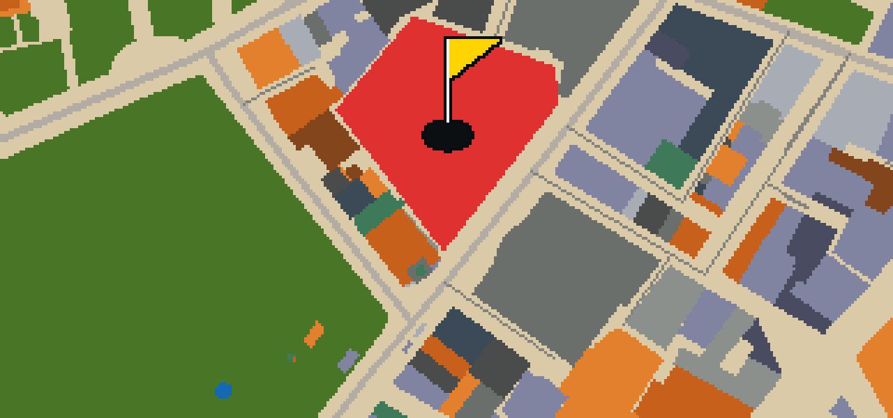
This is not a garden for leisure, but the Granary Burying Ground, a cemetery founded in 1660 on Tremont Street. It is the third-oldest cemetery in Boston. You can find the graves of Samuel Adams, John Hancock, and Robert Treat Paine, who are three signers of the Declaration of Independence. While the cemetery has 2,345 grave-markers, historians estimate that as many as 5,000 people are buried here. It remains a significant site for those visiting the city of Boston, Massachusetts.

Quincy Market
Quincy Market is a market hall that has been the Faneuil Hall Marketplace since 1976. The site is a Boston Landmark and is listed on the National Register of Historic Places. Its inception was in 1825, and the design reflects Neoclassical and Greek Revival architecture styles. You can pick out the influence of architect Alexander Parris throughout the area, which is also a National Historic Landmark. I've noticed it's a great spot to people-watch while you take in the history of these three buildings constructed in 1826.
Freedom Trail
Located in Boston, Massachusetts, the Freedom Trail is a themed walk that guides you through the heart of the city. This 2.5-mile-long path leads visitors past 16 locations significant to the history of the United States. The route begins at Boston Common in downtown Boston, moving toward the Old North Church in the North End and ending at the Bunker Hill Monument in Charlestown. Established in 1951, the trail is overseen by the City of Boston's Freedom Trail Commission. I've found it's a great way to see the city on foot.
USS Constitution
Look closely at the wooden hull of the USS Constitution. This heavy frigate is the oldest naval vessel still afloat and a National Historic Landmark. It was one of six original frigates authorized for construction by the Naval Act of 1794, and it was the third of those six to be constructed. The ship was built at Edmund Hartt's shipyard in the North End of Boston. I've seen plenty of ships from my perch, but there is something different about the way this one sits in the water.
Bunker Hill Monument
Looking up, you can see a 221-foot-tall granite obelisk. This monument is a war memorial on Breed's Hill in the Charlestown section of Boston, commemorating the Battle of Bunker Hill which took place on June 17, 1775. If you are following the Freedom Trail or visiting the Boston National Historical Park, you will find this site along the way. I usually find the scale of the granite blocks impressive when I'm circling the peak, though the view from the ground is just as striking for those visiting the area.

USS Cassin Young
The USS Cassin Young is a Fletcher-class destroyer of the United States Navy. Now a museum ship and preserved watercraft, it allows you to walk through a piece of naval history. The ship is a National Historic Landmark and is listed on the National Register of Historic Places. It carries the name of Captain Cassin Young, who was killed in the Naval Battle of Guadalcanal in the fall of 1942. I've found the narrow corridors are a bit tighter than the open sky, but they really show you how the crew lived.

Old North Church
The Georgian architecture of Old North Church is a prominent sight in the North End neighborhood of Boston. Built in 1723 and designed by architect William Lightfoot Price, it is the oldest standing church in the city. The building is listed on the National Register of Historic Places. It is most famous for its role in the American Revolution, when two lanterns in the steeple were lit on April 18, 1775, to signal Paul Revere during his midnight ride. Visitors can find this Episcopal church located on Salem Street.
Old State House
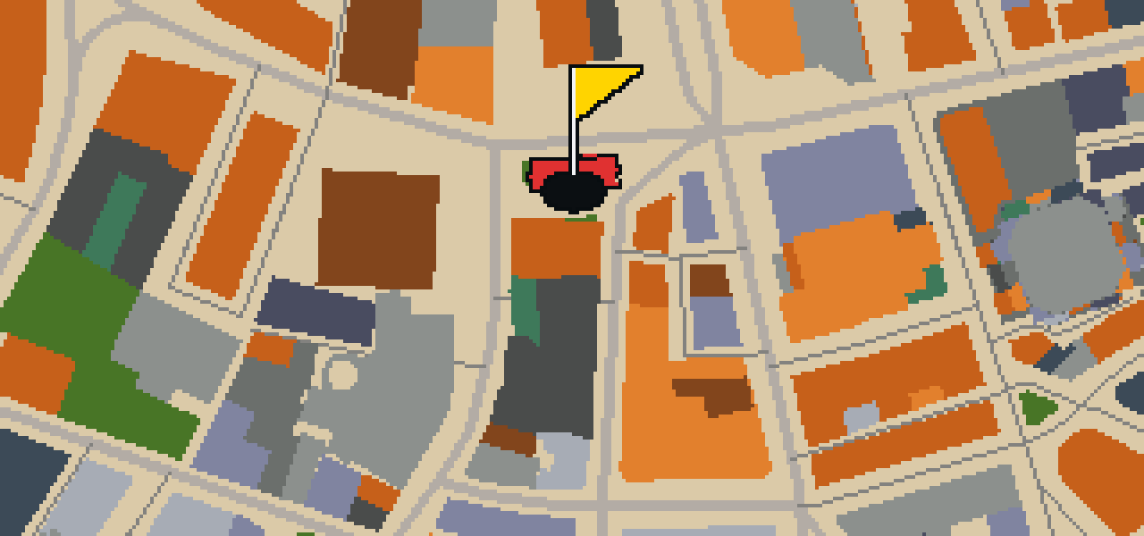
Let me show you the Old State House, located at 206 Washington Street on Boston's Freedom Trail. Completed in 1713, it is the oldest extant public building in the city. You can pick out the Georgian architecture style as you walk by this National Register of Historic Places listed site. It is a museum today, though it once held a different kind of power. I've noticed that people often miss just how high it reaches, but it stands 65 feet tall. It is a National Historic Landmark that has seen the city grow up around it.


New England Aquarium
The New England Aquarium is a public aquarium located in Boston, Massachusetts. This nonprofit organization focuses on marine life and was founded in 1969. If you are visiting Central Wharf, you can also find the New England Aquarium Whale Watch and the Simons Theatre nearby. It is a popular spot for visitors; prior to the outbreak of the COVID-19 pandemic, more than 1.3 million guests visited the aquarium each year. I've seen plenty of tourists staring at the tanks with the same look of wonder.
Boston Children's Museum
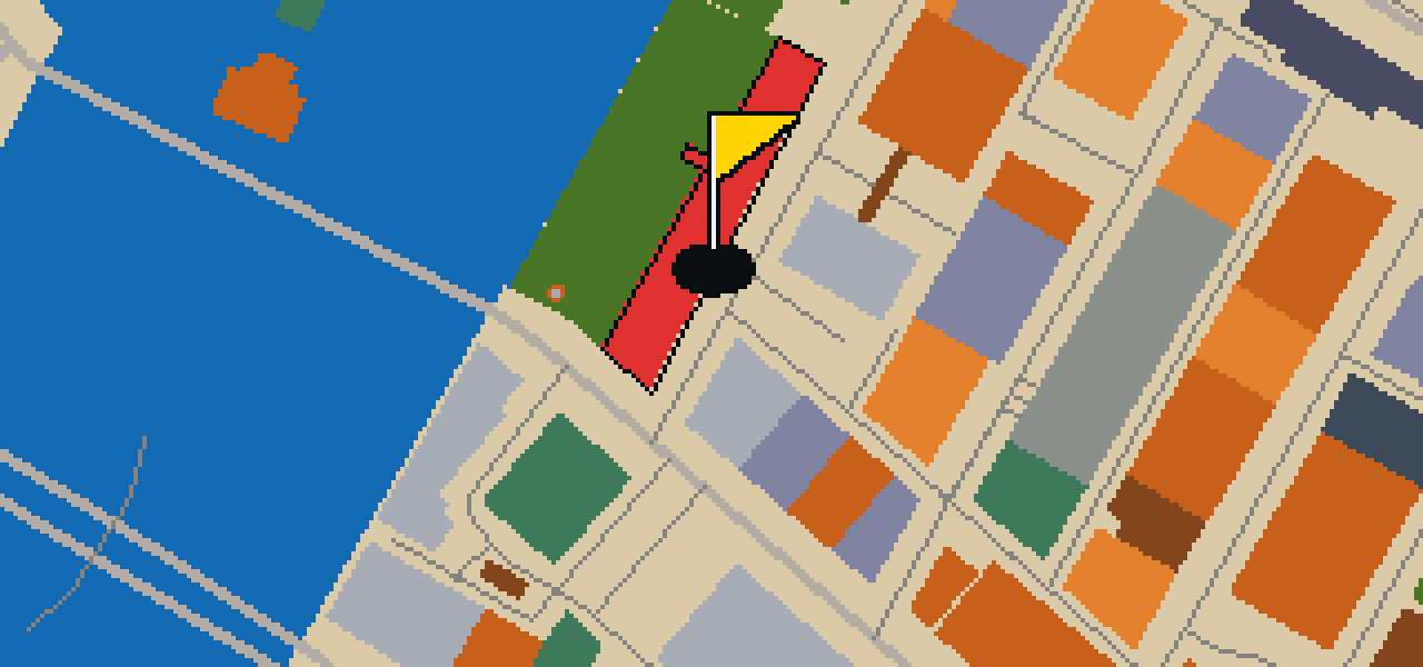
The Boston Children's Museum is a children's museum located in Boston, Massachusetts. Dedicated to the education of children, this nonprofit organization is situated on Children's Wharf along the Fort Point Channel. It was founded in 1913 and is the second oldest children's museum in the United States. It is a great place for families to spend an afternoon exploring together. I often see the most energetic groups of kids gathering here, and their excitement is contagious even from a perch on a nearby ledge.

Kings Chapel
Kings Chapel is a chapel built in the Georgian architecture style. Designed by architect Peter Harrison, the building had its inception in 1749 and was completed in 1754. It is a National Historic Landmark and a National Register of Historic Places listed place. The site serves as an independent Unitarian congregation in Boston, Massachusetts, United States. To this day, the congregation has worshipped according to a Unitarian version of the Book of Common Prayer since 1785. The building was designated a National Historic Landmark in 1960.
Louisburg Square
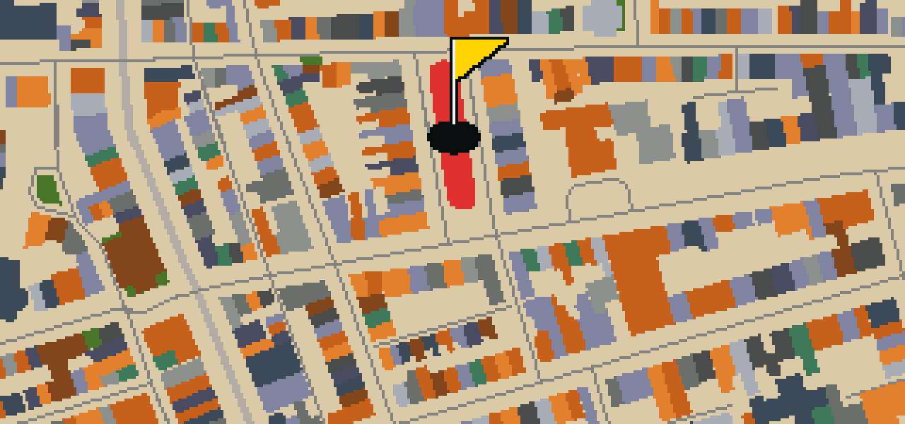
Let me show you Louisburg Square, a historic district located in the Beacon Hill neighborhood of Boston. This area is centered around a small private park that is bisected by the square. If you look at the boundaries, you can pick out Pinckney Street to the north and Mount Vernon Street to the south. While it looks like a typical city space, the City of Boston does not own the park or its garden. Instead, the Louisburg Square Proprietors are the ones who maintain the grounds. It is a polished spot to pause and look around.
Museum of Science
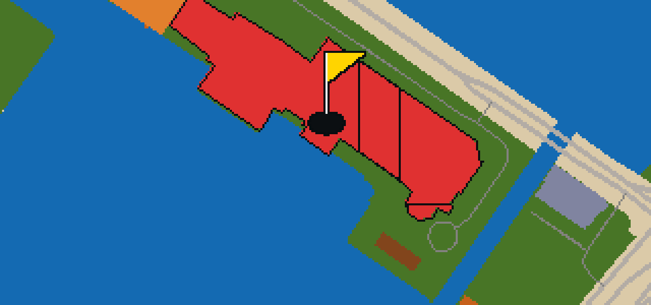
You won't find quiet halls of art here. Instead, let me show you the Museum of Science, a technology museum where you can engage with over 700 interactive exhibits. It is a nonprofit organization that was founded in 1830 and now welcomes 1,500,000 annual visitors. The museum is situated in Science Park, which is a plot of land in Boston and Cambridge that spans the Charles River. I've noticed the crowds here are always eager to learn, making it a lively spot to spend an afternoon.
TD Garden
TD Garden is a multi-purpose arena in Boston, Massachusetts. Designed by the architect Ellerbe Becket, the structure opened in 1995 to replace the original Boston Garden. It is located directly above the MBTA's North Station, making it a convenient stop for anyone moving through the city. Whether you are visiting as a fan of a music venue or just admiring the architecture, there is always a crowd here. I've noticed the area stays busy since nearly 3.5 million people visit the arena each year.
Boston National Historical Park
Boston National Historical Park is a National Historical Park that functions as a historic district. It is a National Register of Historic Places listed place that draws 2,034,110 annual visitors. You can pick out eight separate properties here, all of which are National Historic Landmarks. If you want to see several of them in one go, seven of those sites are connected by the Freedom Trail. The park was designated a national park on October 1, 1974. I've seen a lot of folks walking these paths, and it's always a busy spot.

Boston Common
Fifty acres of greenery break up the downtown Boston landscape here at Boston Common. This urban park is a National Historic Landmark and a National Register of Historic Places listed place. It is the oldest city park in the United States, having been established in 1634. I usually see people relaxing on the grass or walking the paths throughout the grounds. It is a great spot to stretch your legs and enjoy the open air before heading back into the busy city streets.