
ANNAPOLIS - 9 HOLES - FREE

ANNAPOLIS
CITY MAP MINIGOLF

Annapolis - 9 stops - par 27

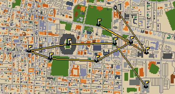
The ball ends its journey at the Circle Theatre in Annapolis. This round uses the real city as a map, with the actual streets as the course. Real attractions form the holes for a quick 9-hole round over 3.5 mi. Skip knows every sidewalk and crumb-filled corner here, acting as the local guide for the walk.

Trouble loading? Open the game in its own tab.

HOW IT WORKS

01

Pick a city

The course is drawn on the real street grid, so the map you play is the map you walk.

02

Putt to the pin

Drag to aim, release to swing. Buildings bounce and water costs you a stroke.

03

Sightsee between strokes

Every hole ends at an attraction. Sink the putt, read the story, walk to the next tee.

THE ANNAPOLIS ROUND - STOP BY STOP

HOLE 1 - PAR 3

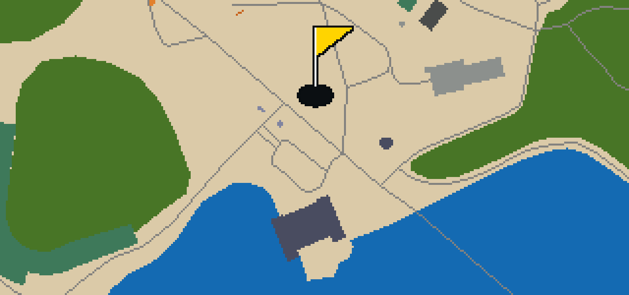
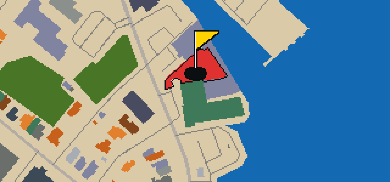
Navy-Marine Corps Memorial Stadium

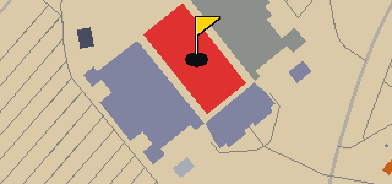
The United States Naval Academy established this open-air stadium off their campus in Annapolis, Maryland. Started and opened in 1959, the Navy-Marine Corps Memorial Stadium is the home stadium for the Navy Midshipmen college football and lacrosse teams. Beyond college athletics, the venue has previously hosted the Chesapeake Bayhawks of Major League Lacrosse and continues to host the Military Bowl. You can pick out the open-air design that makes it a great spot for a game, especially when the weather is clear. I usually find the best views from the upper tiers, though you might have to dodge a few of my cousins if you bring snacks. It is a significant landmark for sports fans visiting the area, providing a glimpse into the athletic traditions of the naval community.

Wikidata · Wikipedia

HOLE 2 - PAR 3

Calvary United Methodist Church

HOLE 3 - PAR 3

F-14A Tomcat

HOLE 4 - PAR 3

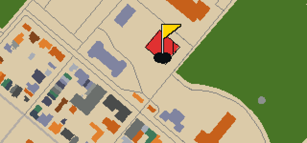
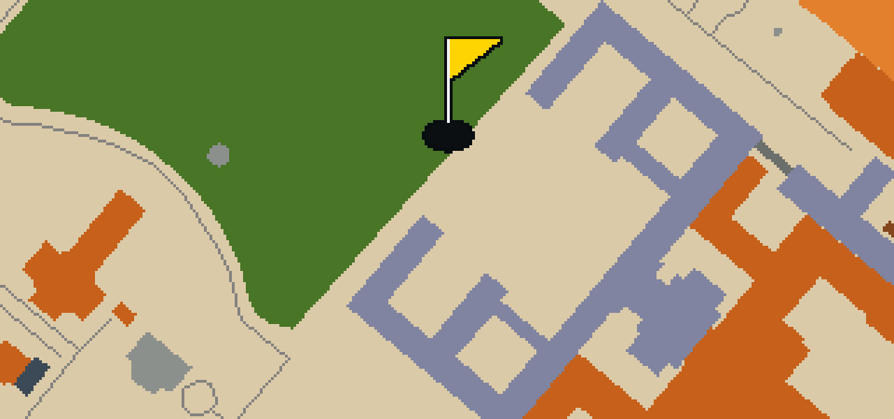
Naval Academy Museum

Let me show you the United States Naval Academy Museum. This public maritime museum is located in Annapolis, Maryland, and is a part of the United States Naval Academy. You will find the museum at Preble Hall on the academy premises. It is a substantial space, occupying 12,000 square feet. As you walk through, you can pick out a variety of exhibits spread across four galleries. I've noticed that the layout makes it easy to get your bearings while you look at the maritime history on display. Whether you are a visitor to the city or a fan of the navy, this spot provides a clear look at the academy's heritage.

Wikidata · Wikipedia

HOLE 5 - PAR 3

Museum of Historic Annapolis

HOLE 6 - PAR 3

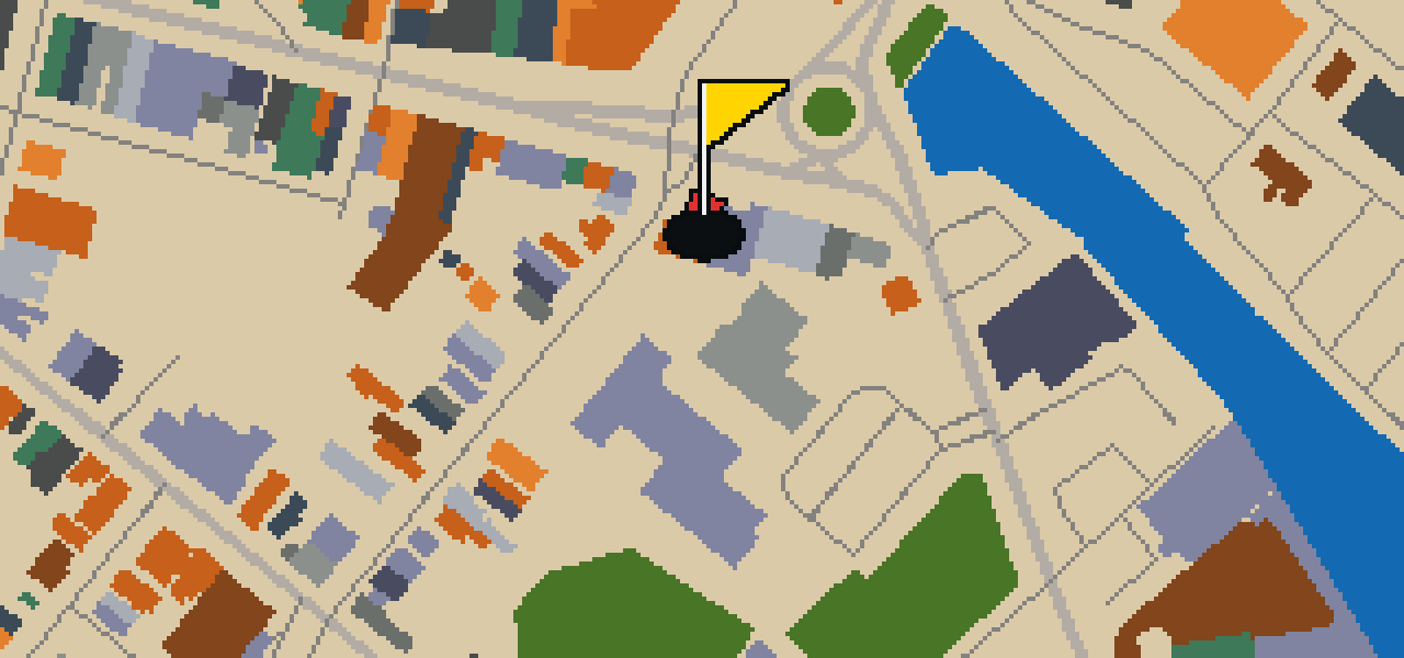
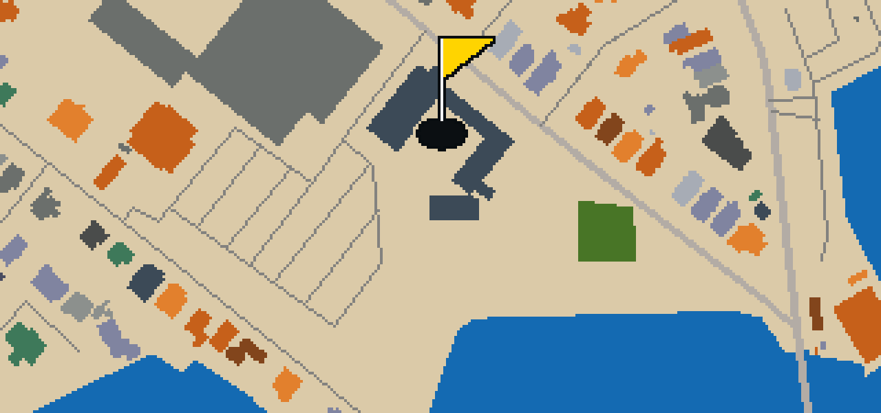
Banneker-Douglass Museum

The Banneker-Douglass Museum is an African-American museum located in a church building. The museum is housed within the former Mt. Moriah African Methodist Episcopal Church. Formerly known as the Banneker-Douglass Museum, the institution is now the Banneker-Douglass-Tubman Museum. It is the official museum for African American history and culture for the state of Maryland. You can find this location at 84 Franklin Street, Annapolis, Anne Arundel County, Maryland. The site is also listed on the National Register of Historic Places. This location provides a dedicated space for the study and celebration of African American heritage within the city. Visitors can observe the architecture of the former church while learning about the official history and culture of the state of Maryland as presented by the museum.

Wikidata · Wikipedia

HOLE 7 - PAR 3

Victualling Warehouse Maritime Museum

HOLE 8 - PAR 3

Tecumseh

HOLE 9 - PAR 3

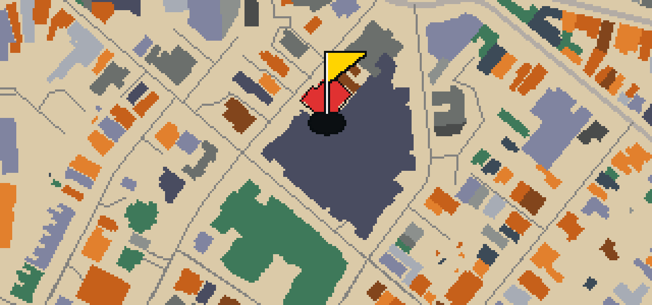
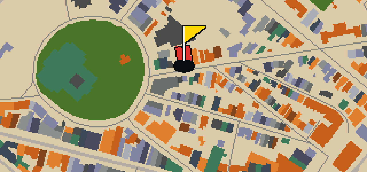
Circle Theatre

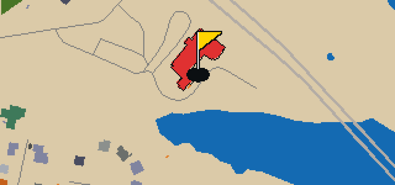
Let me show you the Circle Theatre. It is a movie theater that brings a bit of cinematic history to the streets of Annapolis. When you visit, you can notice how the building maintains its presence as a spot for filmgoers to gather. I've always found that the atmosphere of an older theater makes the movies feel a bit more special. Whether you are a fan of the big screen or just exploring the neighborhood, this theater is a recognizable landmark in the local area.

Wikidata

STOP 10

Saint Mary Catholic Church

OTHER COURSES

9 HOLES - PAR 29

Fayetteville

9 stops

Fayetteville is the setting for this round, where the map is the real city and the ball rolls across its actual streets. The holes are built from real attractions, beginning at the Walton Arts Center. This quick 9-hole round covers 3.6 mi with a par of 29. Skip is a local guide who knows every curb and crack in the pavement.

9 HOLES - PAR 30

Lincoln

9 stops

The ball finds the cup at the Statue of Abraham Lincoln in Lincoln. The map is the real city and the round is played on its real streets, using actual attractions as the holes. This quick 9-hole round covers 4.4 mi with a par of 30. Skip is a local guide who knows these sidewalks well, even the parts where the crumbs are best.

18 HOLES - PAR 55

Duluth

18 stops

This is Duluth. The map is the real city and the round is played on its actual streets, where the ball banks off the facades of real attractions like the SS William A. Irvin to reach the cup. Skip is a local guide who knows every nook and cranny of these sidewalks. It is a full round of 18 holes with a par of 55. The total walk covers 7.1 mi, though a pigeon can take a few shortcuts across the rooftops.

9 HOLES - PAR 29

Traverse City

9 stops

Traverse City is the setting for this quick nine-hole round. The map uses the actual city layout where the ball rolls across real streets and banks off the facades of attractions like the Wise Memorial Clock Tower. Skip knows every ledge and gutter in town. The walk covers 3.8 mi on a course with a par of 29.

9 HOLES - PAR 31

Grand Rapids

9 stops

Banking a ball off the glass and stone of the Van Andel Arena feels different than the soft edges of a park. This round takes place on the real streets of Grand Rapids, where the city map is the course and local attractions are the holes. It is a quick nine-hole round covering 4.4 mi. Skip knows every sidewalk and ledge in this town.

FAQ

Is it free to play?

Yes. Every course runs in the browser with no account and no install.

Do I need to be in the city?

No. The full round plays from anywhere. Walking the real route is a nice way to see the city, but it is not required.

Are the maps real?

Yes. The geometry comes from OpenStreetMap data, rendered chunky on purpose. Streets, water and parks sit where they really are.