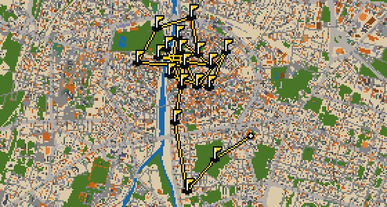
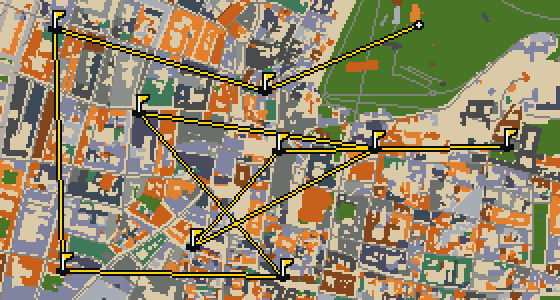
THE FLORENCE ROUND - STOP BY STOP


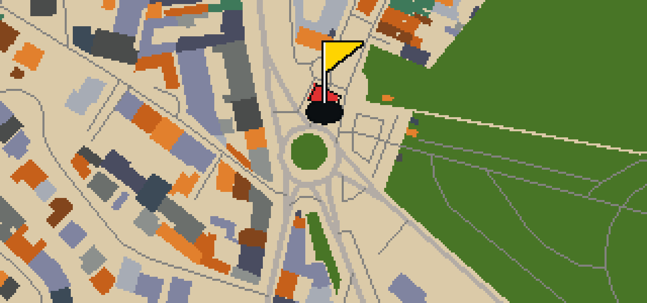

Porta Romana
Located in Florence, Tuscany, Italy, Porta Romana is a city gate and architectural landmark. It was the southernmost gate in the 13th-century walls of the Oltrarno section of the city. While the majority of the defensive walls of Florence were razed in the 19th century, this gate remains. You can access it from the north via Via Romana, Via de' Serragli, and Viale Francesco Petrarca. The structure had an inception in 1328. I've noticed it's a great spot to pause and imagine the old city boundaries.
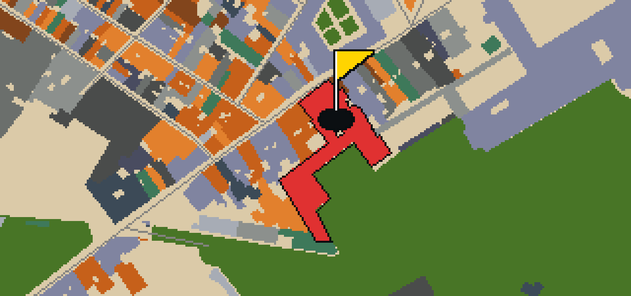
La Specola
You will find La Specola in Florence, central Italy, situated right next to the Pitti Palace. It is a museum, archives, and a natural history museum. Founded in 1775, the site is designated as Italian national heritage. While you explore the collections, you can pick out the area where an astronomical observatory was founded in 1790. It is a busy spot for visitors, with 28,768 people coming through every year. I usually keep an eye on the crowds from the rooftops.
Forte di Belvedere
You will first notice the imposing walls of the Forte di Belvedere, a fortification in Florence, Italy. It is an Italian national heritage site that serves as both a fortress and a museum. The inception of the site was in 1590, and it was designed by the architect Bernardo Buontalenti. It is also known as Fortezza di Santa Maria in San Giorgio del Belvedere. I find the views from these heights are some of the best in the city, and the architecture is quite something to see up close.
Corridoio Vasariano
You will first notice a long, elevated enclosed passageway stretching across the city. This is the Corridoio Vasariano, a 16th-century museum and art collection that is recognized as Italian national heritage. Designed by architect Giorgio Vasari in the Renaissance style, the structure began in 1565. Its primary purpose was to let Duke Cosimo I de' Medici travel between the Palazzo Vecchio and the Palazzo Pitti without being seen by the public. I've seen a few fellow birds perch on the ledges here, and it is certainly a unique way to cross town.

Piazza di Santo Spirito
Piazza di Santo Spirito is a square. I can show you around this area so you can see the layout of the space for yourself. It is a place where you can stop and observe the city's rhythm. I usually find the best spots to watch the crowds from the ledges.
Giardino delle Scuderie Reali e Edificio delle Pagliere
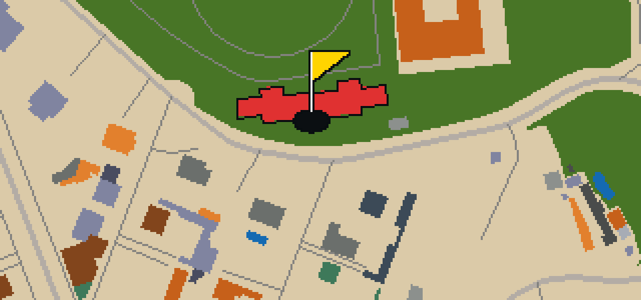
Let me show you a spot in the city that houses the Giardino delle Scuderie Reali e Edificio delle Pagliere. This site is a museum, a military museum building, and a palazzo museum. It is recognized as Italian national heritage, and the project was started in 2012. You can pick out the distinct character of the buildings as you walk through the grounds. I've seen a few crumbs dropped near the entrance, but the architecture is the real draw here.
Galleria Palatina
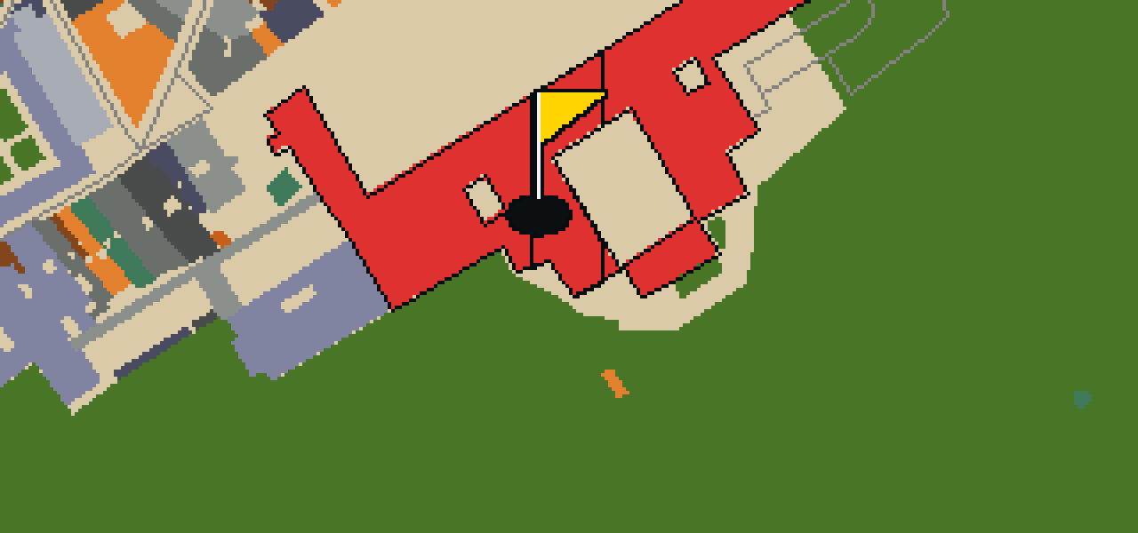
Founded in 1833, the Galleria Palatina is an art museum. Since its opening, it has evolved into a museum of modern art and a historic house museum. It is recognized as Italian national heritage and attracts 386,993 annual visitors. I've noticed the crowds can be quite thick around the entrance, but the interior is worth the wait. Whether you are interested in the historic house aspect or the modern art, there is plenty to see here. It is one of those places where the building itself tells as much of a story as the art hanging on the walls.
Museo Annigoni
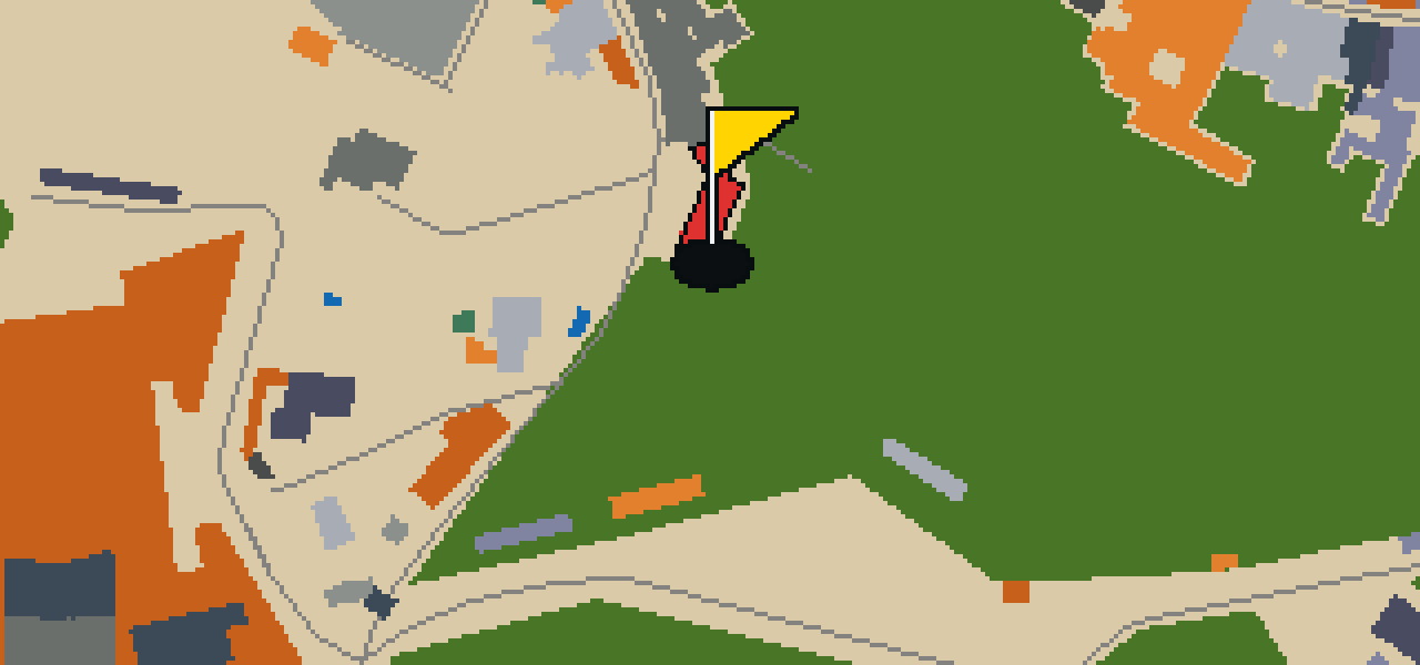
You might expect another state-run gallery, but Museo Annigoni is actually a private museum. It operates as both a palazzo museum and a historical park museum. Founded in 2008, the site is officially designated as Italian national heritage. While some of the city's larger landmarks draw massive crowds, this particular spot sees 4,277 annual visitors. I have found it to be a great place to avoid the heaviest tourist traffic while still seeing something historic. It is a unique corner of the city that balances its private nature with its status as a protected national treasure.
Torre San Niccolò
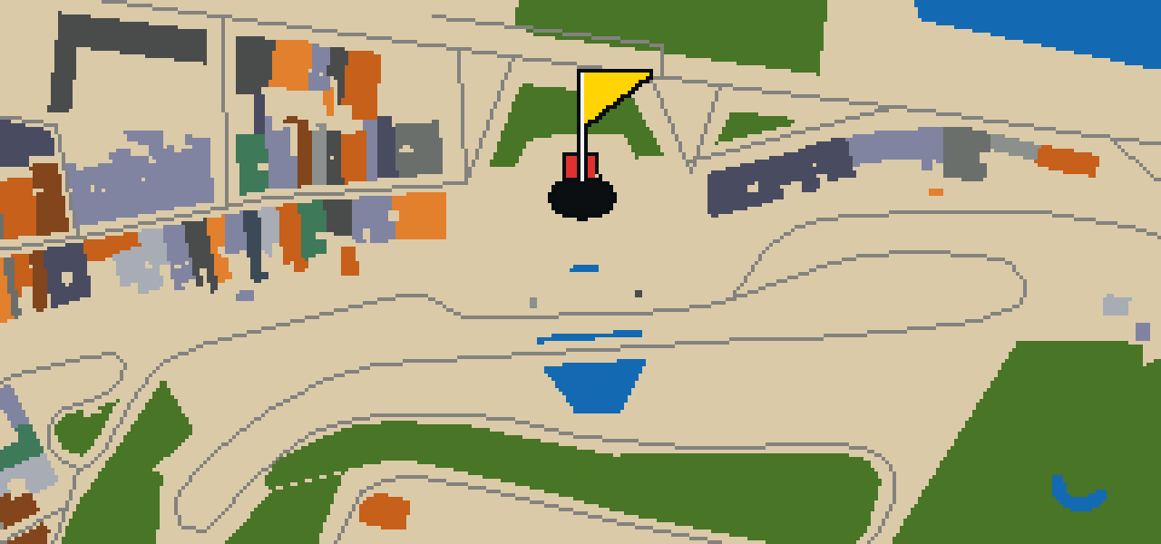
You might mistake this for a standalone monument, but the Tower of San Niccolò is actually a city gate and tower. Located in Piazza Giuseppe Poggi within the Oltrarno district of Florence, Tuscany, it served as a portal in the city's former defensive walls. If you are feeling energetic, you can climb the 160 steps to reach the top. I always find the view from the heights much better than the view from the sidewalk, though I usually just fly up there to save my legs.
Basilica di San Miniato al Monte
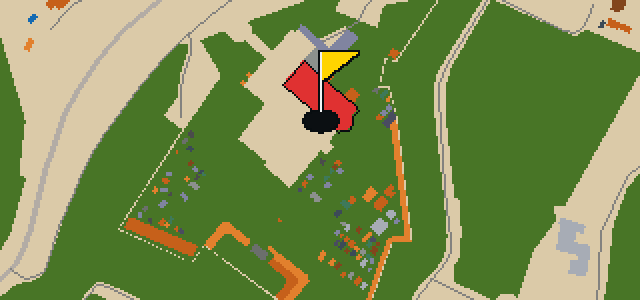
This is not the city's main cathedral. It is the Basilica di San Miniato al Monte, located in Florence. This site is a minor basilica and an abbey church with an inception in 1018. When you look at the structure, you can pick out a blend of Romanesque and Renaissance architecture. An Olivetan monastery is adjoining the basilica, completing the complex. It is a place of significant religious and architectural history that remains a focal point for those visiting the heights of the city.
Piazzale Michelangiolo
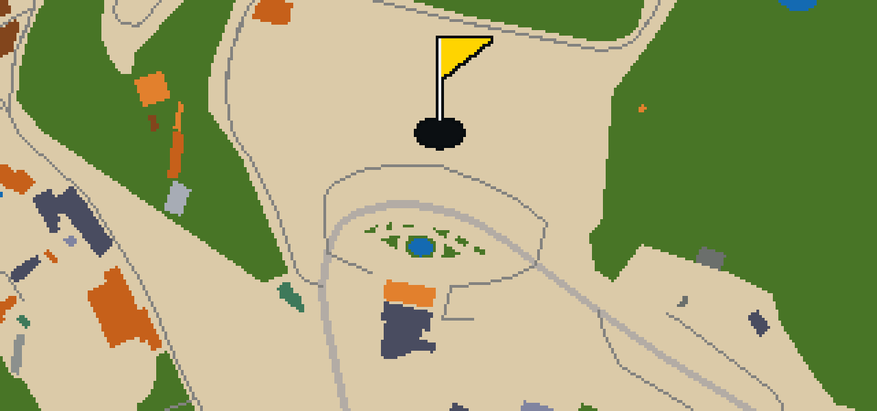
Piazzale Michelangiolo is a square that had its inception in 1869. Located in the Oltrarno district, it provides a panoramic view of Florence, Italy. I find it is one of the best places to see the city layout from above. Whether you are visiting the Oltrarno area or just passing through, this square offers a wide perspective of the surrounding landscape. It is a spot where the city opens up before you, allowing you to see the various landmarks that make Florence famous from a single vantage point.
Chiesa di Santa Lucia dei Magnoli
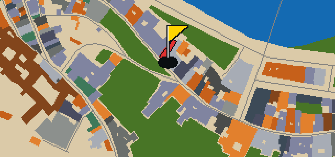
This is not a grand tourist hub, but the Chiesa di Santa Lucia dei Magnoli. It is a Roman Catholic church located on via de'Bardi in the Oltrarno district of Florence, within the region of Tuscany, Italy. The building is designed in the Renaissance architecture style, and its inception was in 1283. When you visit this site, you can see the specific characteristics of the Renaissance style that define the building's structure. It is a significant example of a religious site located within the historic Oltrarno district of the city.
San Leonardo in Arcetri
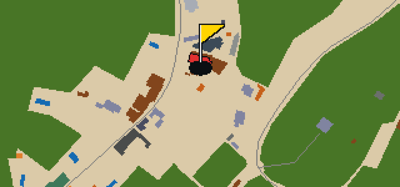
San Leonardo in Arcetri is a Roman Catholic church building located in Florence, Italy. The structure is built in the Romanesque architecture style and is situated on Via di San Leonardo #25. For those navigating the city, the church is located a few hundred meters southeast of the Porta San Giorgio of Florence. It is a site that provides a look at the Romanesque influence within the region, offering a direct example of the religious architecture found in this part of Italy.
Chiesa di San Giorgio alla Costa
You will not find the heavy stone of the city's oldest basilicas here. Instead, this is the Chiesa di San Giorgio alla Costa, a church building designed in the Rococo style. Located in the Oltrarno district of the centre of Florence, the structure is situated on the slope of via Costa San Giorgio. It was designed by the architect Giovanni Battista Foggini. Visitors can see a different side of the city's religious architecture in this specific location, where the building's placement on the hillside defines its presence in the neighborhood.
Chiesa di San Niccolò Oltrarno
Located on Via San Niccolò in Florence, Chiesa di San Niccolò Oltrarno is a Roman Catholic church. The building is designed in the Renaissance architecture style and is situated in the region of Tuscany, Italy. Construction of the church was started in 1184. Visitors can see this example of Renaissance architecture while exploring the Oltrarno area of the city. It remains a significant church building in the local community.
Chiesa di San Salvatore al Monte
Chiesa di San Salvatore al Monte is a church building that was started in 1498. When you look at the exterior and interior, you can pick out the distinct characteristics of the Renaissance architecture style. It is a site of significant historical importance and is officially designated as an Italian national heritage. This status protects the building as a vital piece of the city's architectural record. I recommend taking a moment to observe the lines and proportions that define this specific era of design.

L'Affratellamento
L'Affratellamento is a theatre building. As you walk through the city, you can pick out this specific structure among the other buildings. It is a place dedicated to the performing arts and is a notable example of a theatre building in this area. I've found that the facade makes for a great landmark when you are navigating these streets.