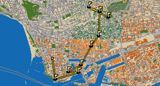
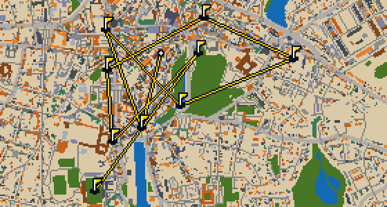
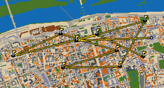
THE QUIMPER ROUND - STOP BY STOP


Château de Lanniron
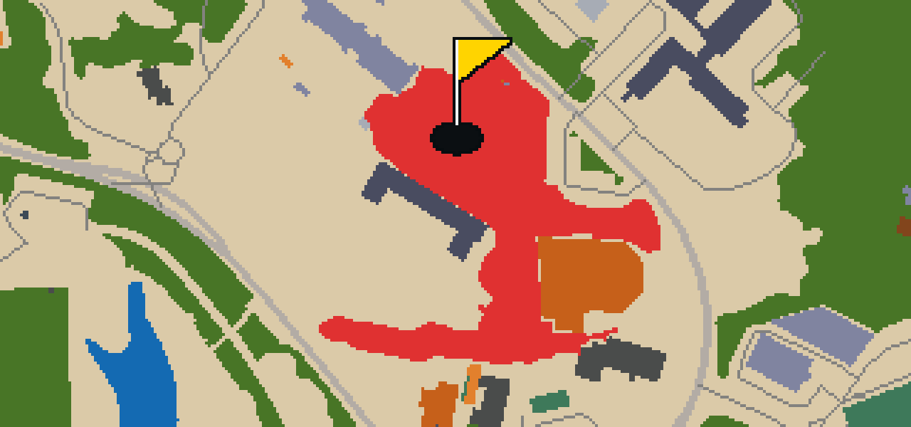
You will find Château de Lanniron situated within the city of Quimper. This château is a notable example of the Palladian architecture style, which gives the building its distinct look and feel. Beyond its visual appeal, the site is officially recognized as a monument historique inscrit. I always find that the surrounding grounds make it a peaceful break from the busier streets nearby. Whether you are visiting for the history or just passing through on a game, the symmetry of the building is something you can really appreciate from the path. It is one of those spots where the architecture does most of the talking, and the quiet atmosphere helps you focus on the details of the structure. I suggest taking a moment to look at the facade before you move on to the next part of your journey.


Manoir de Poulguinan
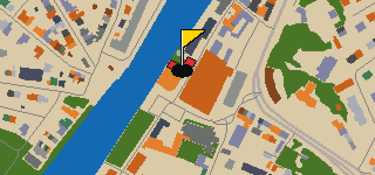
Musée de la Faïence de Quimper
You might expect a traditional art gallery when you arrive, but the Musée de la Faïence de Quimper is actually a museum focused on the region's famous pottery. It is a place where you can see the specific craft of faïence and learn about the local tradition of ceramic production. I find the textures of the glazes here quite fascinating. The museum was founded in 1990, providing a dedicated space to preserve and display these works for everyone to see. Whether you are a fan of ceramics or just passing through the city, it is a great spot to see how these pieces are made and the history they carry.
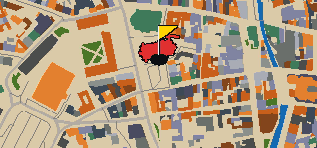

Église Saint-Mathieu
Located in the heart of Quimper, Église Saint-Mathieu is a church building that stands as a prominent feature of the city's layout. As you move through the surrounding streets, you will find this site positioned as a central point of orientation within the urban environment. It is a place of worship and a significant architectural presence for both residents and visitors who are exploring the local area. When you approach the building, you can observe how it fits into the tight arrangement of the city's historic center. Whether you are passing by on a walk or using it as a landmark to find your way, the building remains a steady and visible part of the Quimper experience. Its presence defines much of the immediate atmosphere of the district in which it is situated.
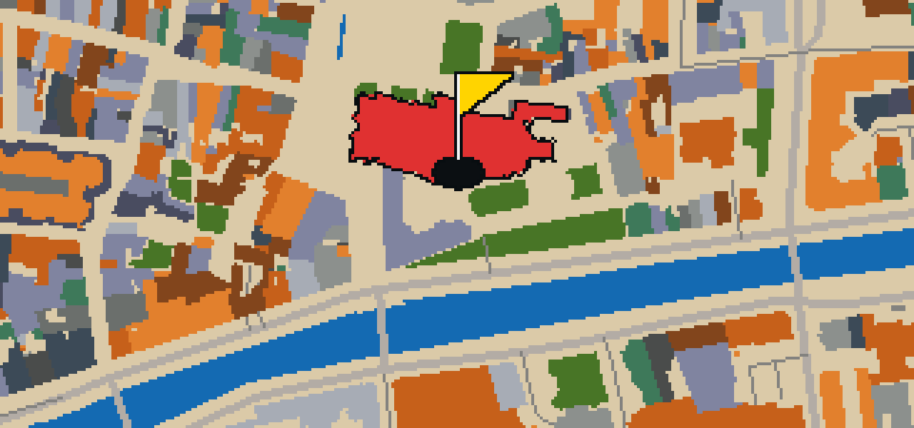
Cathédrale Saint-Corentin
Cathédrale Saint-Corentin is built in the Gothic architecture style and is a classified historical monument. Located in the town of Quimper, this Catholic cathedral began its inception in 1239. It is a national monument of Brittany in France and is the seat of the Diocese of Quimper and Léon. Saint Corentin was the first bishop of the cathedral. When you look at the building, you can pick out the specific elements of the Gothic style that define its structure. This site is a central point for the local community and visitors who come to see one of the primary monuments of the Brittany region. The cathedral remains an important place of worship and a significant piece of the town's history, reflecting the architectural standards of the era in which it was first started.
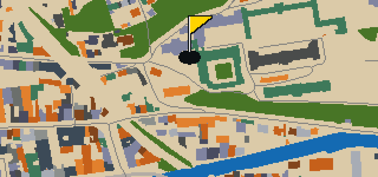
Ancien Grand séminaire et sa chapelle
You can pick out the specific architectural details of the chapel before widening your view to the rest of the Ancien Grand séminaire et sa chapelle. This site is a Catholic seminary. It is also a monument historique inscrit, which means it is officially recognized for its heritage value in Quimper. When you are walking around the exterior, I recommend taking a moment to look at how the structure fits into the surrounding neighborhood. I've noticed that the quiet of the courtyard makes it a nice spot to pause and catch your breath during your walk through the city. It is a peaceful contrast to the busier streets nearby, and the way the light hits the stone of the chapel is something you should keep an eye out for as you approach the hole.