
POITIERS - 9 HOLES - FREE

POITIERS
CITY MAP MINIGOLF

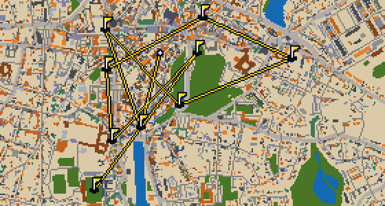
Poitiers - 9 stops - par 25

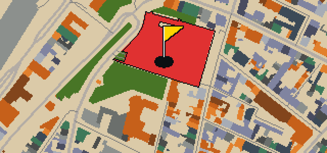
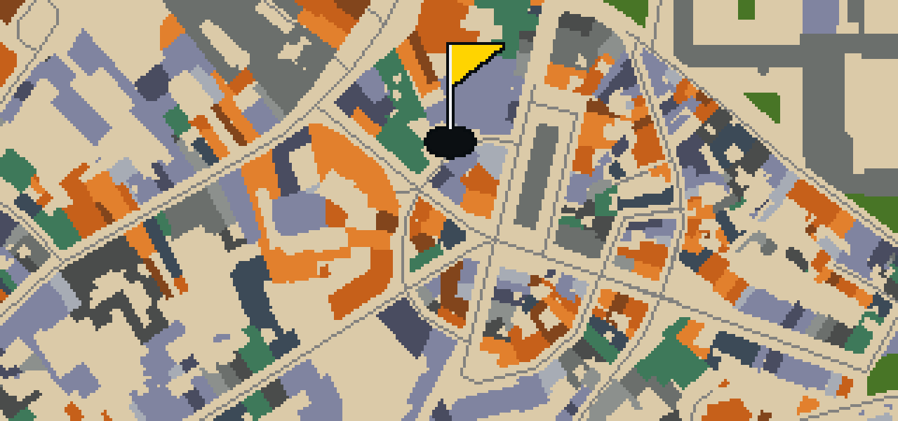
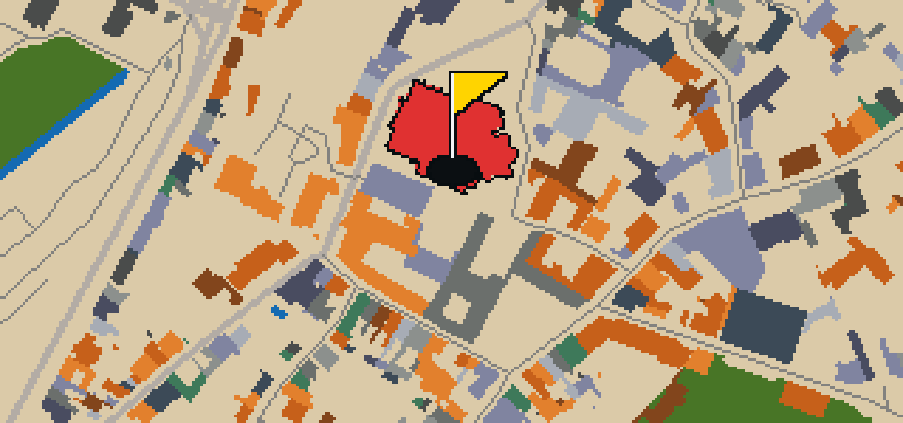
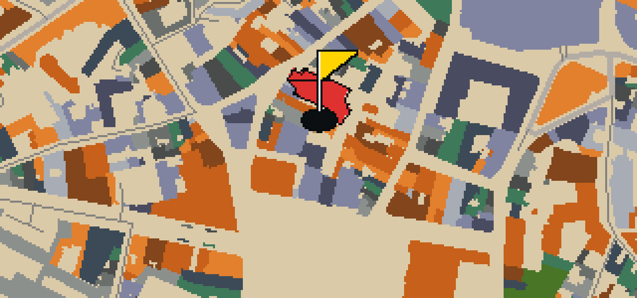
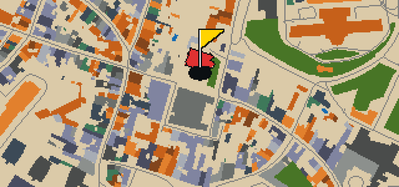
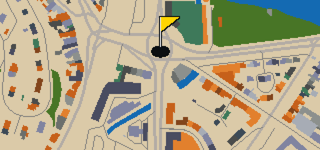
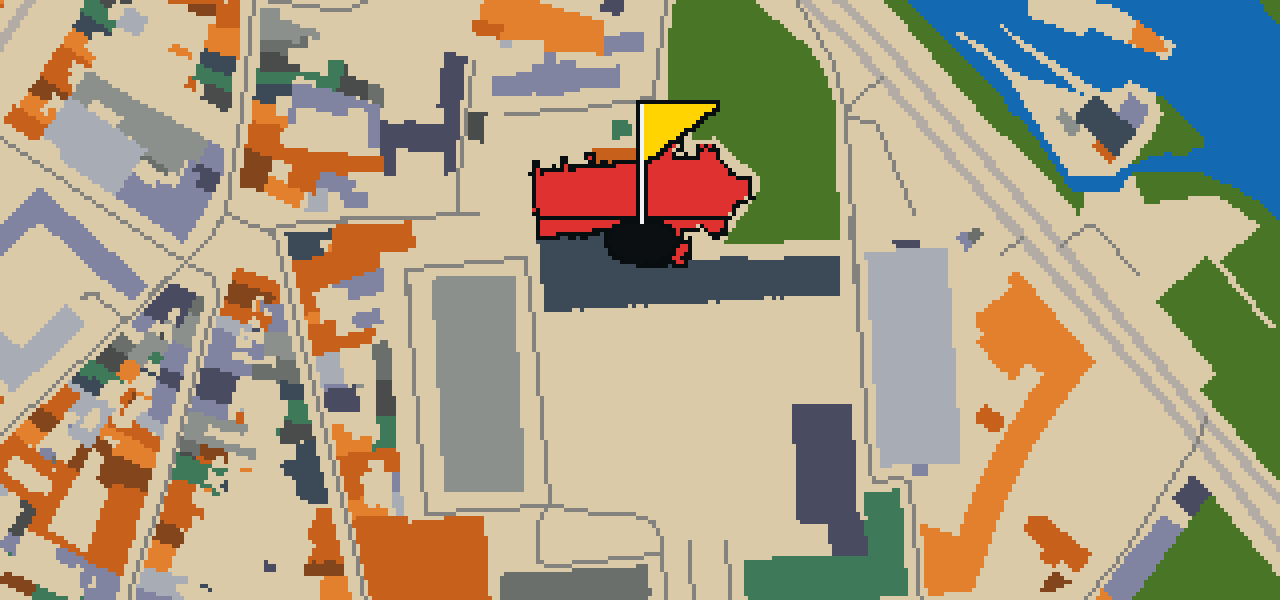
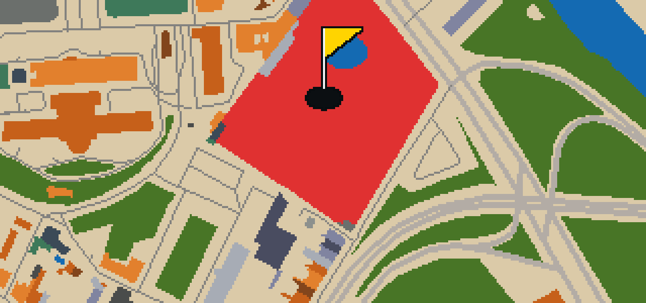
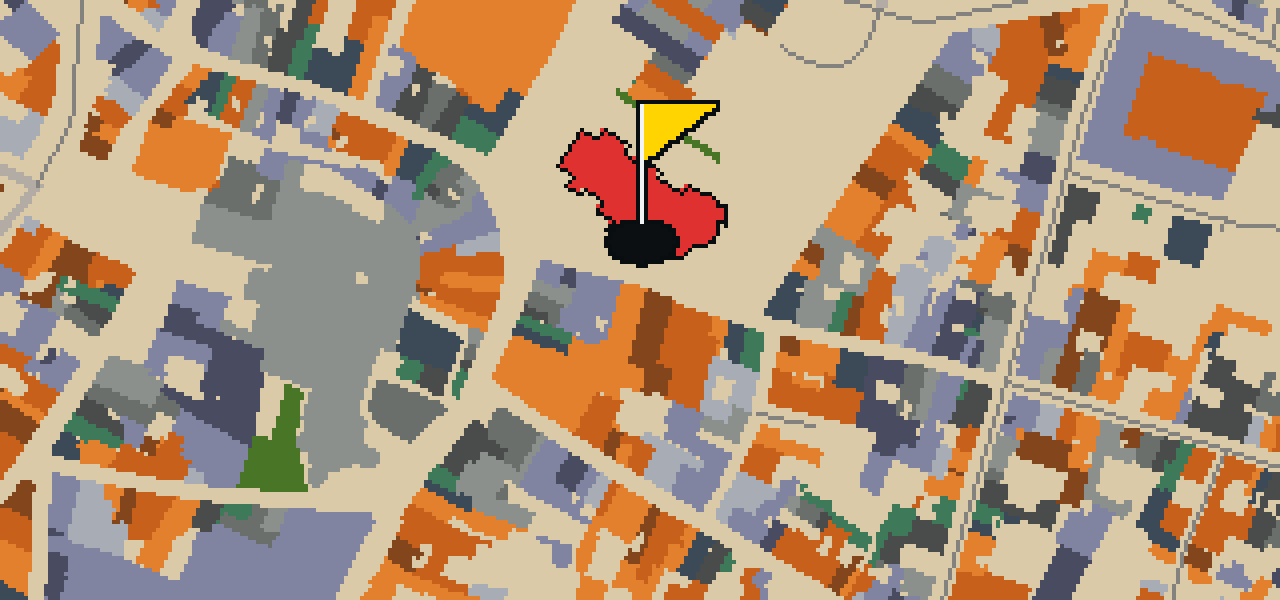
The round ends at the Jardin des Plantes in Poitiers. The map is the real city and the ball rolls across its actual streets, using local attractions as the holes. Skip knows every corner of this place. It is a quick nine-hole round covering 4.6 km, with two portals to help the ball move between districts.

Trouble loading? Open the game in its own tab.

HOW IT WORKS

01

Pick a city

The course is drawn on the real street grid, so the map you play is the map you walk.

02

Putt to the pin

Drag to aim, release to swing. Buildings bounce and water costs you a stroke.

03

Sightsee between strokes

Every hole ends at an attraction. Sink the putt, read the story, walk to the next tee.

THE POITIERS ROUND - STOP BY STOP

HOLE 1 - PAR 3

Baptistère Saint-Jean

The Baptistère Saint-Jean is one of the most prominent examples of Merovingian architecture. This Roman Catholic church in Poitiers, France, functions as a baptistery. Visitors often come here to see a rare surviving piece of early religious construction, as the building is reputed to be the oldest existing Christian building in France. Because of its rarity and age, it is a classified historical monument. I usually find that the simple, ancient lines of the stone make it easy to imagine the city as it was centuries ago. It is a grounded, heavy place that feels very different from the more ornate cathedrals you might find elsewhere in the region. It is the kind of spot where the walls seem to hold the secrets of the city's earliest days.

Wikidata · Wikipedia

HOLE 2 - PAR 3

Église Notre-Dame la Grande

The Catholic diocese of Poitiers is home to Église Notre-Dame la Grande. This Roman Catholic church is a classified historical monument and is built in the Romanesque architecture style. It holds a double status, being both collegial and parochial. When you enter the church building, you can see that the walls inside are painted. This site is a significant part of the city's history and serves as a place of worship for the local community. As you walk through the space, the Romanesque style is evident in the structure of the building. The combination of its official status and the interior artwork makes it a notable location within the diocese of Poitiers.

Wikidata · Wikipedia

HOLE 3 - PAR 3

Théâtre et Auditorium de Poitiers

You will first notice the bold, contemporary architecture of the Théâtre et Auditorium de Poitiers. This site is a theatre building that hosts a variety of performances for the public. Whether you are visiting for a show or simply walking through the neighborhood, the building stands as a center for the arts in Poitiers. I find the clean lines of the structure quite a contrast to some of the older stones found elsewhere in town.

Wikidata

HOLE 4 - PAR 3

Arènes de Poitiers

The Arènes de Poitiers is a Roman amphitheatre. As an ancient Roman structure, it provides a clear look at how the empire built its public entertainment venues. You can walk around the site to get a sense of the original layout and the massive stones used in its construction. It is also a classified historical monument, which ensures the preservation of its ruins for people to visit today. I usually find that the open air makes it a great spot to just stand and imagine the crowds that once filled the stands. Whether you are a history buff or just passing through, it is a grounding piece of the city's distant past.

Wikidata

HOLE 5 - PAR 3

Église Saint-Hilaire le Grand

The Romanesque architecture style defines the structure of the Église Saint-Hilaire le Grand. This church building in Poitiers is named after Hilary of Poitiers. It is a minor basilica and a classified historical monument. The site is also part of a UNESCO World Heritage Site. Visitors can observe the heavy masonry and rounded arches characteristic of the Romanesque style that shapes the building. As a minor basilica, it holds a specific ecclesiastical status within the city. Its designation as a classified historical monument ensures the preservation of its physical form for the future. Being part of a UNESCO World Heritage Site further emphasizes its global significance. The connection to Hilary of Poitiers provides the historical context for the naming of this sacred space in the heart of Poitiers.

Wikidata · Wikipedia

HOLE 6 - PAR 3

Église Saint-Porchaire

Located within the city of Poitiers, Église Saint-Porchaire is a church building. When you look at the exterior and the structure of the site, you can see that it is built in the Romanesque architecture style. This specific style of building is a key part of the visual character of the area. Because of its importance to the history and the architectural record of the region, Église Saint-Porchaire is a classified historical monument. Visitors to the city often stop here to observe the stone work and the traditional forms associated with this period of construction. It remains a significant example of the Romanesque tradition in Poitiers, providing a direct link to the architectural practices of the past for anyone walking through the streets today.

Wikidata

HOLE 7 - PAR 3

Ancienne Chapelle - Auditorium Saint-Germain

Ancienne Chapelle - Auditorium Saint-Germain is a church building. It is officially recognized as a monument historique inscrit, a designation that marks its importance to the architectural and cultural history of Poitiers. When you visit, you can observe the physical characteristics of the building that led to its protection as a historical monument. The site is a preserved example of a church building, allowing visitors to see how such structures have been maintained over time. This specific status as a monument historique inscrit ensures that the building is protected for future generations to study and appreciate. It remains a quiet and direct point of interest for those exploring the religious and historical sites of the city.

Wikidata

HOLE 8 - PAR 2

Tour du Cordier

You will first notice the imposing stone presence of the Tour du Cordier. This site is a fortified tower that once played a role in the protection of the city. It is a great spot to stop and look at the masonry while you get your bearings in Poitiers. I usually find the ledge here is a great place to watch the crowds go by.

Wikidata

HOLE 9 - PAR 2

Église Saint-Jean-l'Évangéliste

You are not looking at a contemporary structure or a recent addition to the city. This is Église Saint-Jean-l'Évangéliste, a church building in Poitiers. It is an example of the Romanesque architecture style and is a classified historical monument. The inception of the building was 1070. Also known as the Church of Saint-Jean de Montierneuf, it is a Roman Catholic church. This site provides a direct look at the religious and architectural history of the region, offering a glimpse into the design principles of the eleventh century. As you walk past its walls, you can see the characteristics of its Romanesque style, which has been preserved over centuries. It remains one of the most important historical landmarks in the area, maintaining its status as a protected monument for all visitors to appreciate.

Wikidata · Wikipedia

STOP 10

Jardin des Plantes

You will find the entrance at 1 rue du Jardin des Plantes in Poitiers. This botanical garden is a municipal park that welcomes visitors daily. It is a place where you can enjoy the plants and open spaces without charge, making it an accessible spot for anyone visiting the region. The garden has a long history, as it was started in 1621. I find it is a great spot to stretch your wings and enjoy the fresh air away from the busier city streets. Whether you are looking for a quiet place to sit or a scenic walk through the flora, this location provides a peaceful break from the urban environment. It is one of the older green spaces in the area, offering a glimpse into the city's long-term commitment to maintaining a public botanical collection for all to enjoy.

Wikidata · Wikipedia

OTHER COURSES

9 HOLES - PAR 24

Le Havre

9 stops

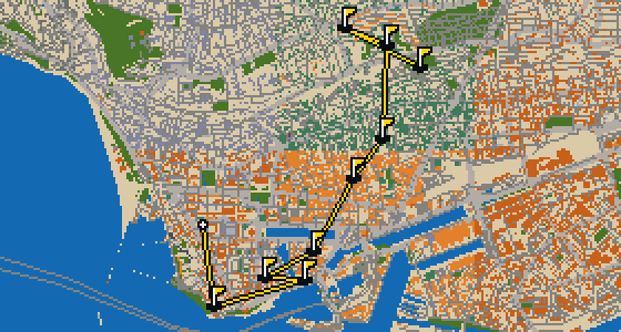
This is Le Havre. The map is the actual city and the round is played on its real streets, using attractions like Église Saint-Joseph as the basis for the holes. Skip is a local guide who knows every corner. It is a quick round of 9 holes with a par of 24, covering a walk of 5.1 km and using 8 portals to move between districts.

18 HOLES - PAR 56

Versailles

18 stops

This is Versailles. The map is the real city and the round is played on its real streets, using attractions like the Château de Versailles as the basis for the holes. Skip is a local guide who knows every cobblestone. It is a full round of 18 holes with a par of 56, covering a walk of 11.7 km. The ball uses 6 portals to move between the different districts.

9 HOLES - PAR 26

Vannes

9 stops

A quick nine-hole round winds through Vannes, following the real city map and its actual streets. The course uses local attractions, such as Cathédrale Saint-Pierre, to form the holes. Skip knows every corner of this 4.8 km walk, including the two portals that skip over the long stretches. A pigeon's eye view is the best way to see how the ball rolls.

9 HOLES - PAR 28

Tours

9 stops

This is Tours, where the map is the real city and the round is played on its real streets. The holes are built from real attractions, like the Cathédrale Saint-Gatien. Skip is a local guide who knows the place. It is a quick round of 9 holes with a par of 28, covering a 5.5 km walk with two portals for the ball to ride.

9 HOLES - PAR 27

Toulon

9 stops

This is a quick nine-hole round through Toulon. The map is the real city and the play happens on its actual streets, using attractions like the Opéra as the basis for the holes. Skip knows these sidewalks well and will act as the local guide for the 5.2 km walk. Six portals help move the ball across the city.

FAQ

Is it free to play?

Yes. Every course runs in the browser with no account and no install.

Do I need to be in the city?

No. The full round plays from anywhere. Walking the real route is a nice way to see the city, but it is not required.

Are the maps real?

Yes. The geometry comes from OpenStreetMap data, rendered chunky on purpose. Streets, water and parks sit where they really are.