
UPPSALA - 18 HOLES - FREE

UPPSALA
CITY MAP MINIGOLF

Uppsala - 18 stops - par 55

Trouble loading? Open the game in its own tab.

HOW IT WORKS

01

Pick a city

The course is drawn on the real street grid, so the map you play is the map you walk.

02

Putt to the pin

Drag to aim, release to swing. Buildings bounce and water costs you a stroke.

03

Sightsee between strokes

Every hole ends at an attraction. Sink the putt, read the story, walk to the next tee.

THE UPPSALA ROUND - STOP BY STOP

OTHER COURSES

18 HOLES - PAR 54

Malmö

18 stops

Malmö looks different from a bird's eye view, but the ball stays grounded on the real streets. The map is the actual city, where a full round of 18 holes follows the pavement for 10.6 km. Real attractions like Malmöhus slott provide the structure for each hole, and a couple of portals help skip the long hauls. Skip knows these corners well from years of foraging and will act as the local guide for the walk.
18 HOLES - PAR 55

Gothenburg

18 stops

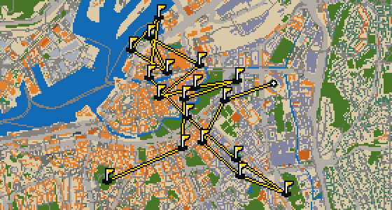
Göteborg is the setting for this round, where the map follows the real city and the ball rolls across actual streets. The holes are built from real attractions, including the Ullevi stadium. A full 18-hole round covers 10.7 km and uses 16 portals to move between districts. Skip is a local guide who knows every curb and cobblestone, though a pigeon mostly cares about where the crumbs land.

18 HOLES - PAR 54

Stockholm

18 stops

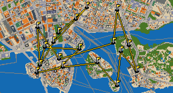
This is Stockholm. The map follows the real city and the round is played on its actual streets, using attractions like Gamla stan to build the holes. Skip is a local guide who knows every corner of these islands and where the best crumbs are hidden. It is a full 18-hole round with a par of 54, covering a total walk of 10.6 km. The ball moves between distant districts using 94 portals to keep the game moving.

FAQ

Is it free to play?

Yes. Every course runs in the browser with no account and no install.

Do I need to be in the city?

No. The full round plays from anywhere. Walking the real route is a nice way to see the city, but it is not required.

Are the maps real?

Yes. The geometry comes from OpenStreetMap data, rendered chunky on purpose. Streets, water and parks sit where they really are.