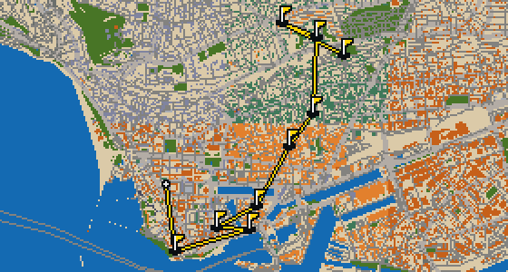
Kotor - 9 stops - par 25
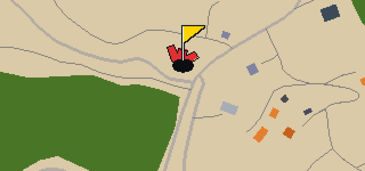
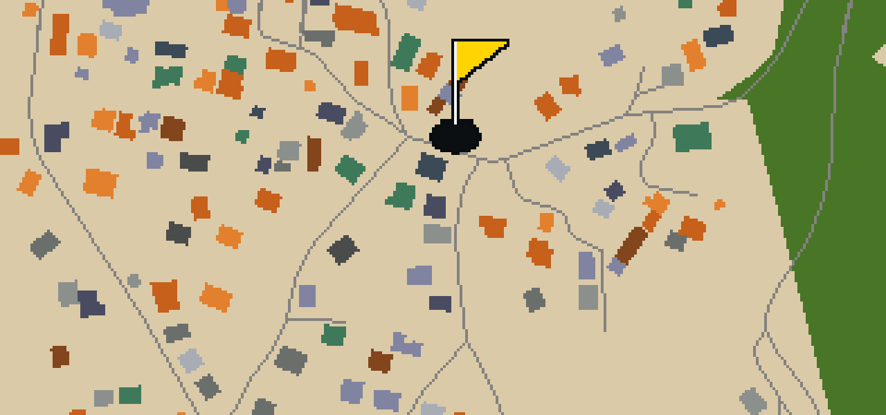
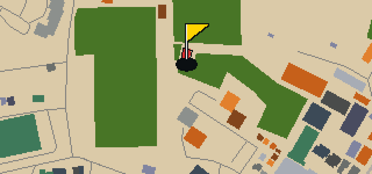
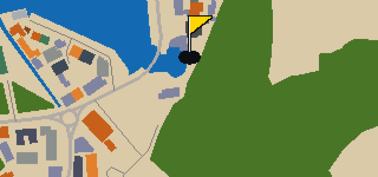
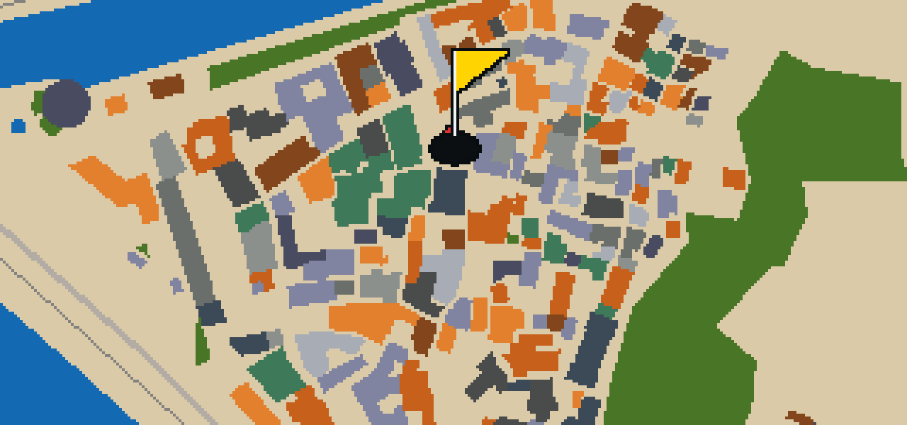
This is Kotor. The map is the real city and the round is played on its real streets, using attractions like Katedrala Svetog Tripuna as the holes. Skip knows every cobblestone here, having spent plenty of time dodging tourists for crumbs. It is a quick round of 9 holes with a par of 25, covering a walk of 4.7 km.
The course is drawn on the real street grid, so the map you play is the map you walk.
Drag to aim, release to swing. Buildings bounce and water costs you a stroke.
Every hole ends at an attraction. Sink the putt, read the story, walk to the next tee.
Let me show you Vrata od Gurdića. This location is a city gate in Kotor. When you are visiting the area, you can pick out this specific entrance among the fortifications. It is a useful point of orientation for anyone walking the perimeter of the old town. I find it a pleasant spot to pause and look at the surrounding stonework.
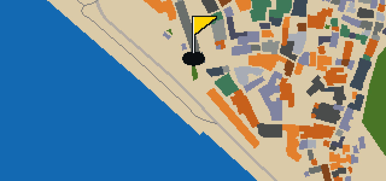
Let me show you Vrata od Mora. This site is a city gate. It is one of the points where you can enter the old town. I always find the stone work interesting when I'm flying over the fortifications.
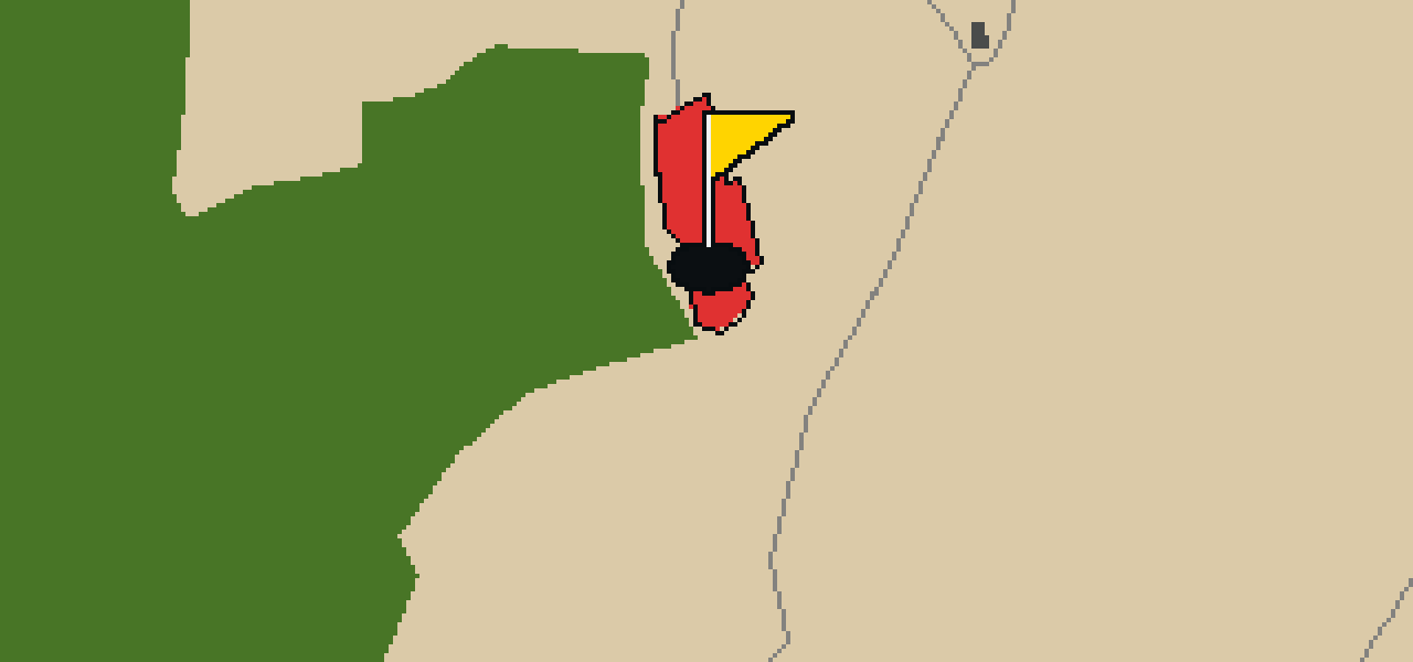
Located in Boka Kotorska, Montenegro, Crkva sv. Luke is an Eastern Orthodox church building. The construction of the church was started in 1195. This site is characterized by Byzantine and Gothic architecture, which was built in 1195 during the reign of Stefan Nemanja. The church belongs to the Serbian Orthodox Church. When you visit the interior, you can look for the iconostasis of the Church of Sveti Luka. The icons found there were painted by Dimitrije Daskal in the 17th century. This building remains a significant example of the religious and architectural history of the region, blending distinct styles from the period of its founding into a single place of worship.
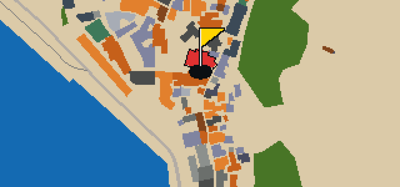
Katedrala Svetog Tripuna is a cathedral located in Kotor, Montenegro. The building is constructed in the style of Romanesque architecture. It is one of two Roman Catholic cathedrals in Montenegro. This site is the seat of the Roman Catholic Diocese of Kotor. The jurisdiction of the Roman Catholic Diocese of Kotor covers the entire Bay of Kotor and the Municipality of Budva. Visitors can observe the specific Romanesque architectural elements that define the structure as they move through the city. The cathedral remains a central point for the Roman Catholic community in the region, serving as the primary administrative center for the diocese across the bay and the surrounding municipality.
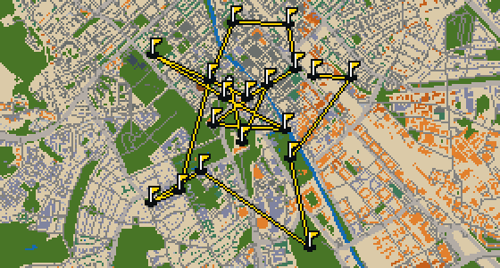
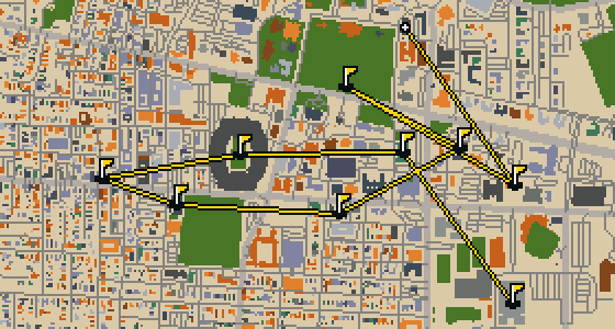
Tuscaloosa is the setting for this round, played on the actual city streets. The map uses real attractions like Bryant-Denny Stadium to build the holes, turning the town into a course. Skip knows these sidewalks well, having spent plenty of time dodging crumbs on the way to the cup. This quick 9-hole round covers 3.2 mi with a total par of 26.
Reggio nell'Emilia is the setting for this round, where the map is the actual city and the ball rolls along its real streets. The holes are built from local attractions, including the Cattedrale di Santa Maria Assunta. Skip knows these blocks well. This quick 9-hole round covers a 5 km walk with a total par of 26.
Olsztyn is the setting for this round, with a map based on the real city and play taking place on its actual streets. The holes are built from real attractions, ending the walk at the Teren dawnego cmentarza ewangelickiego 1873-1947. This full round of 18 holes covers 10.2 km with a par of 54, using 10 portals to move between districts. Skip is a local guide who knows these pavements well, even the spots where the best crumbs land.
This is Le Havre. The map is the actual city and the round is played on its real streets, using attractions like Église Saint-Joseph as the basis for the holes. Skip is a local guide who knows every corner. It is a quick round of 9 holes with a par of 24, covering a walk of 5.1 km and using 8 portals to move between districts.
Yes. Every course runs in the browser with no account and no install.
No. The full round plays from anywhere. Walking the real route is a nice way to see the city, but it is not required.
Yes. The geometry comes from OpenStreetMap data, rendered chunky on purpose. Streets, water and parks sit where they really are.