
HAARLEM - 9 HOLES - FREE

HAARLEM
CITY MAP MINIGOLF

Haarlem - 9 stops - par 27

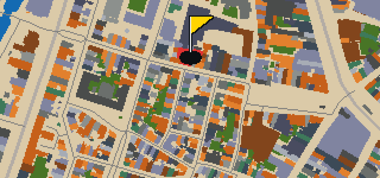
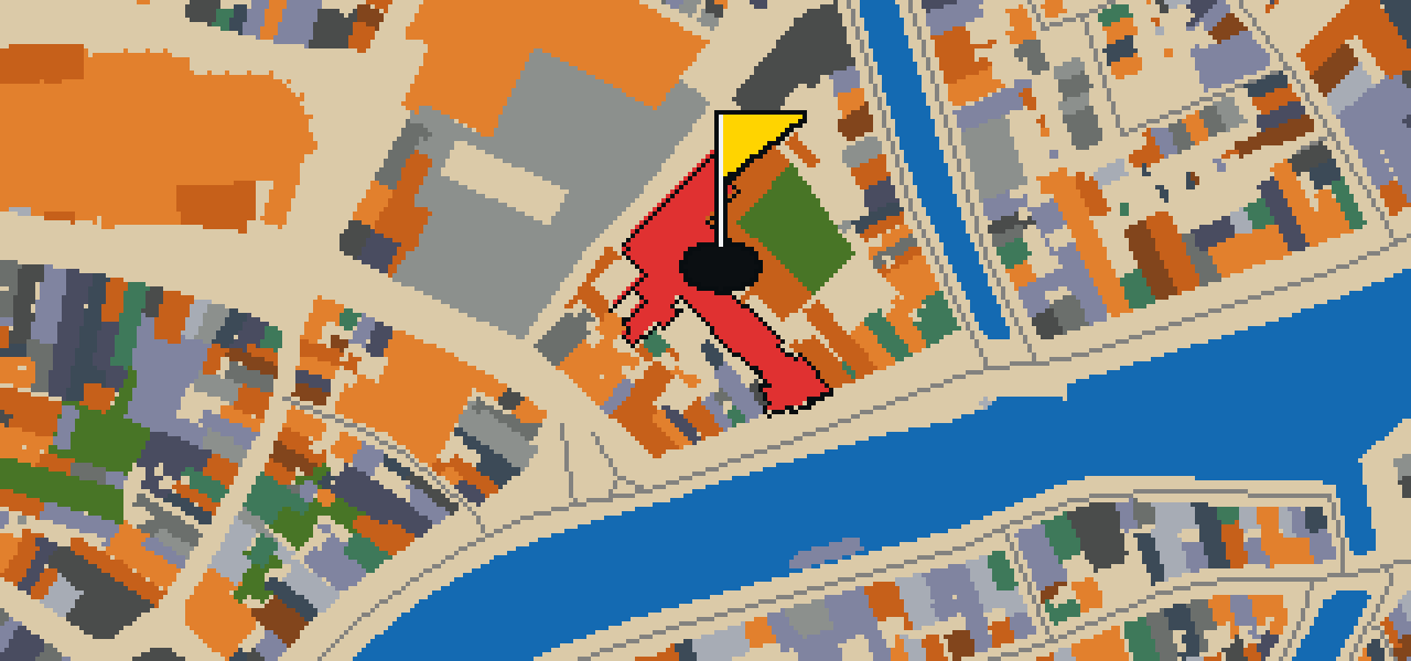
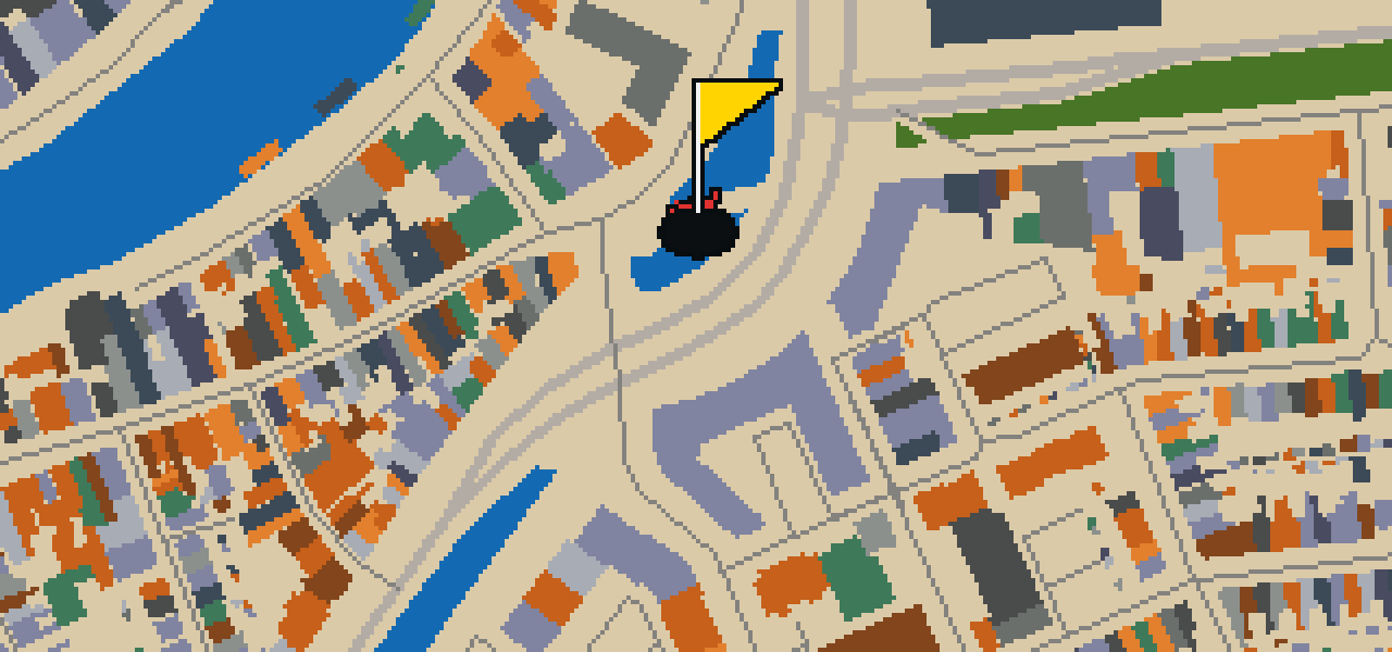
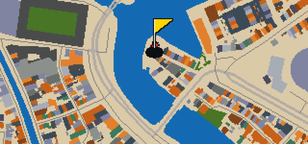
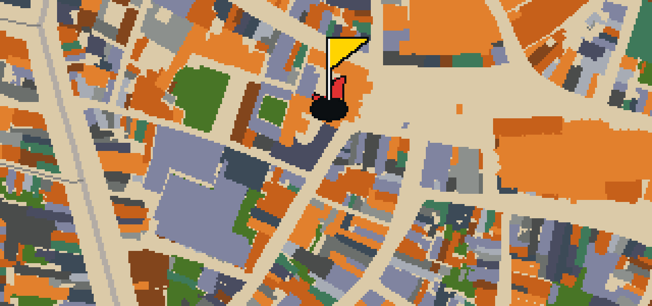
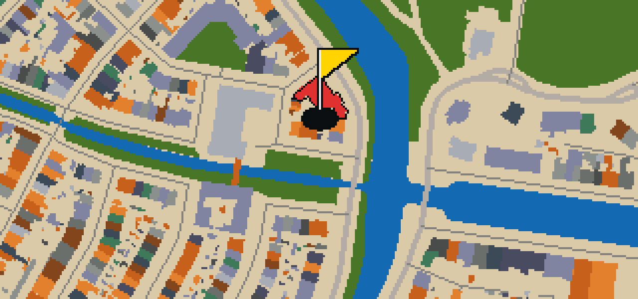
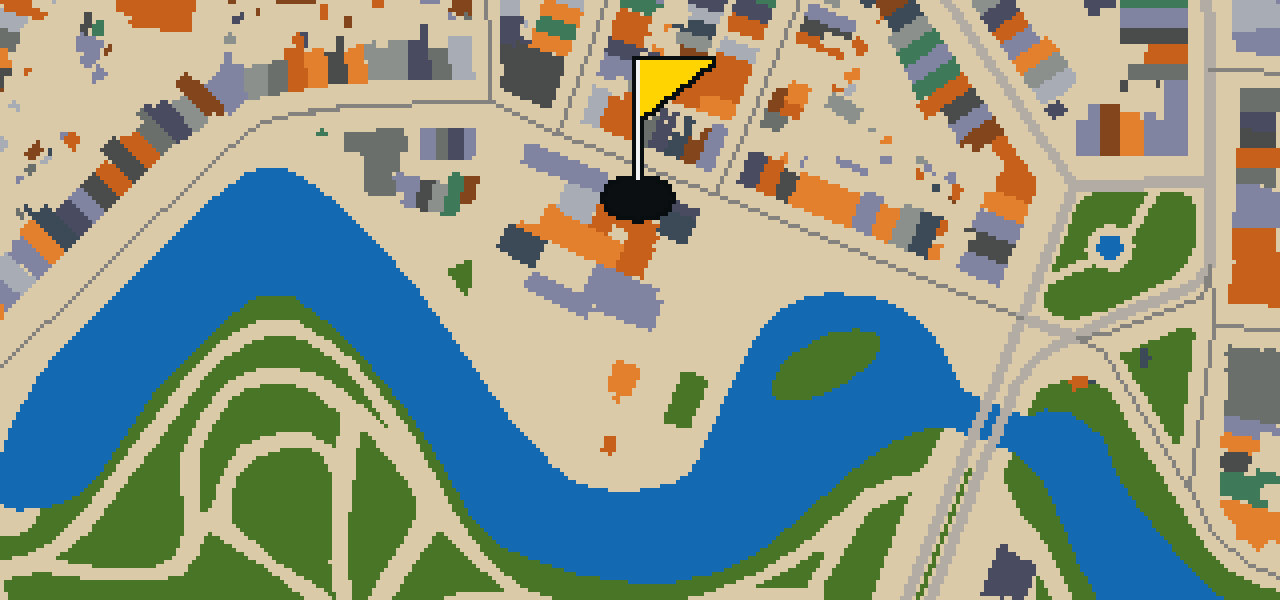
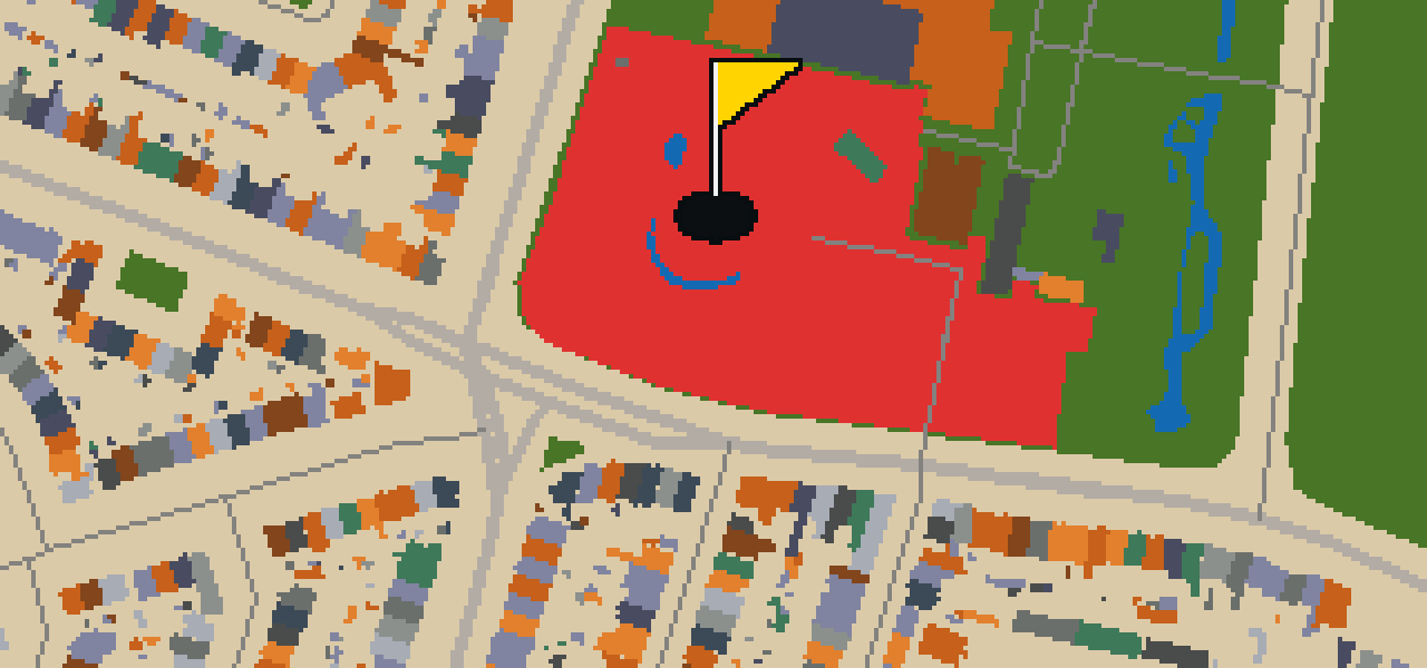
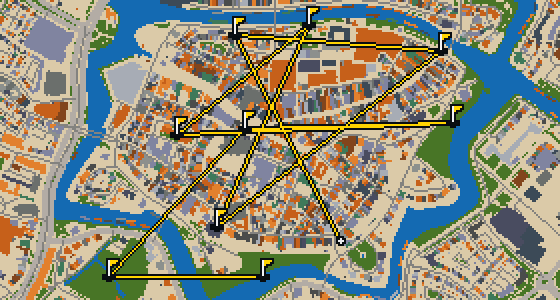
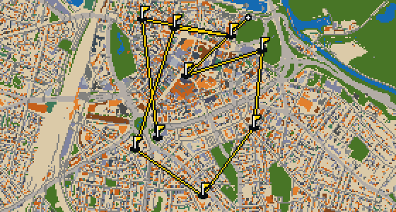
Haarlem is the setting for this round, where the map follows the actual city and the ball rolls along its real streets. The holes are built from local attractions, including the Frans Hals Museum. Skip knows these pavements well. This quick 9-hole round covers 5.1 km with a par of 27, using 4 portals to bridge the gaps between landmarks.

Trouble loading? Open the game in its own tab.

HOW IT WORKS

01

Pick a city

The course is drawn on the real street grid, so the map you play is the map you walk.

02

Putt to the pin

Drag to aim, release to swing. Buildings bounce and water costs you a stroke.

03

Sightsee between strokes

Every hole ends at an attraction. Sink the putt, read the story, walk to the next tee.

THE HAARLEM ROUND - STOP BY STOP

HOLE 1 - PAR 3

Frans Hals Museum

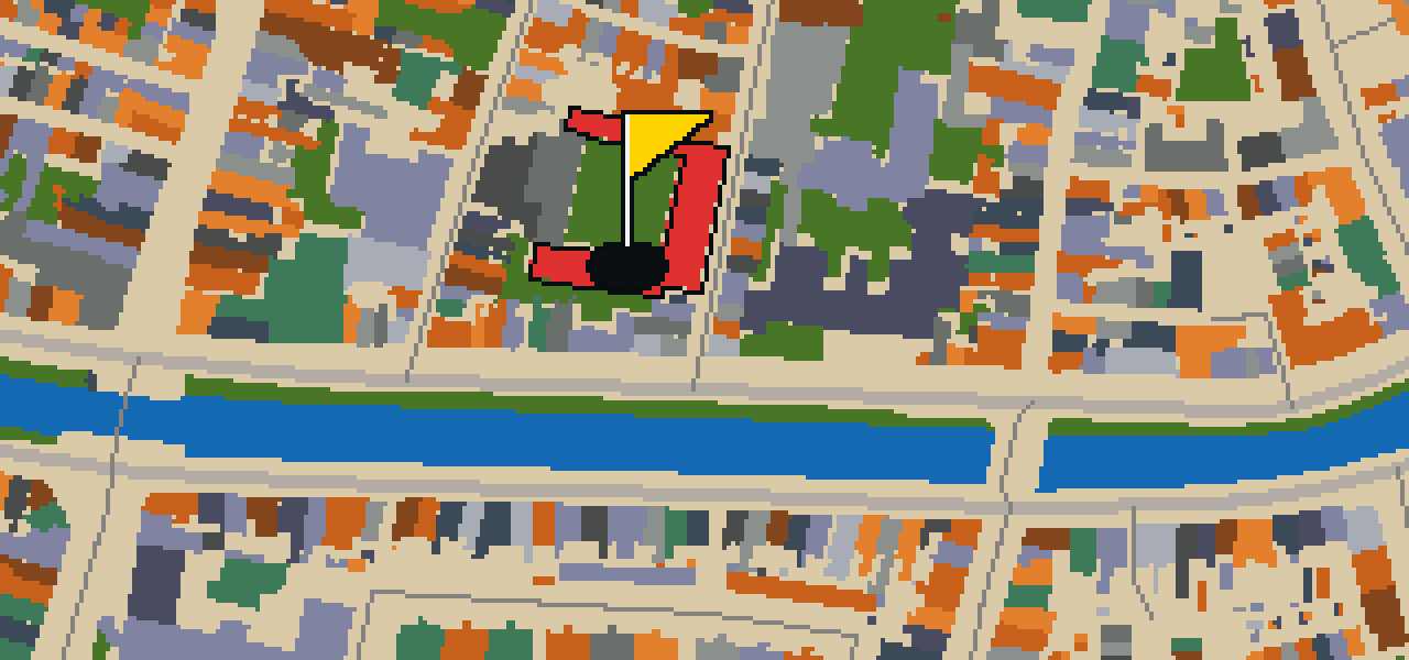
You will first notice the regent's rooms inside the 17th-century Oudemannenhuis, which houses the Frans Hals Museum. Known as the Art Museum of Haarlem, this institution is located in North Holland, the Netherlands. It was founded in 1862 and is now shaped by the work of architects Lucas Christiaan Dumont and Wiek Röling. The collection is famous for its depth, as the museum owns more than a dozen paintings by Frans Hals. While the main building focuses on the classics, Location Hal regularly hosted exhibitions of modern and contemporary art until August 2025. With 195,000 annual visitors, it is a busy spot in the city. I've seen plenty of tourists stop here to admire the art, and it's a great place to spend an afternoon.

Wikidata · Wikipedia

HOLE 2 - PAR 3

Grote of St. Bavokerk

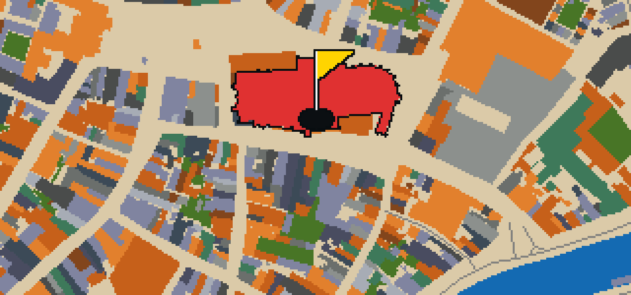
The Grote of St. Bavokerk is a church building located on the central market square in Haarlem. This site is a Reformed Protestant church built in the Gothic architecture style. It is recognized as a Rijksmonument. Visitors to the Dutch city of Haarlem will find this structure positioned as a focal point of the city center, where the architecture reflects the historical Gothic influence. The building remains a significant site for the community and those visiting the market square. Because it is a Rijksmonument, the structure is preserved as a piece of national heritage. The Gothic style is evident in the design of the church, which dominates the view of the central market square in the Dutch city. You can observe the specific details of the Gothic architecture as you approach the building from the surrounding streets of Haarlem.

Wikidata · Wikipedia

HOLE 3 - PAR 3

Hofje van Loo

Let me show you the Hofje van Loo. This place is a hofje located on the Barrevoetstraat 7 in Haarlem, Netherlands. It is a Rijksmonument, which means it is recognized as a protected national heritage site. When you visit, you can see how this specific type of courtyard housing fits into the city center and provides a sanctuary away from the main roads. I have noticed that the atmosphere here feels quite different from the busier streets just outside the gates, making it a peaceful spot to pause during your walk through Haarlem. Whether you are interested in the local architecture or just looking for a quiet corner of the city, this courtyard is a great example of the traditional housing found throughout the region. It remains a preserved piece of the city's physical history for everyone to see.

Wikidata · Wikipedia

HOLE 5 - PAR 3

Amsterdamse Poort

The Amsterdamse Poort is a barbican and city gate of Haarlem, Netherlands. You can find it standing at the end of the old route from Amsterdam to Haarlem. It is a Rijksmonument that was started in 1355, serving as a sturdy entry point into the city. While the city once had twelve city gates, this is the only one left remaining today. I find it is a great spot to pause and imagine the travelers who used to pass through these walls on their way into town. When you look at the masonry, you are seeing a rare piece of the original city defenses that survived while the other eleven gates disappeared. It is a wonderful landmark for anyone wanting to see how the city was accessed centuries ago.

Wikidata · Wikipedia

HOLE 6 - PAR 3

De Adriaan

You might think this is just another piece of the skyline, but De Adriaan is actually a museum and a stellingmill. Located in the Netherlands, this landmark has a history of resilience. The original windmill dates from 1779, marking the start of its presence in the city. It faced a major disaster when it burnt down in 1932, leaving a gap in the local scenery for decades. However, the site was restored when the mill was rebuilt in 2002. Today, it stands as a functional example of traditional Dutch milling technology that visitors can explore from the inside. I usually find the view from the top to be the best part of the visit.

Wikidata · Wikipedia

HOLE 7 - PAR 3

Stadhuis Haarlem

You might expect to find a fortress here, but this site is actually the Stadhuis Haarlem. This city hall is the seat of the city's government and stands as a Rijksmonument. Its inception was in 1370, and it was built in the 14th century. If you look closely at the facade, you can pick out the Renaissance architecture style used by the architect, Lieven de Key. I've seen plenty of fancy ledges around here, but this one is a real classic. It is a great spot to stop and admire the craftsmanship before moving on to the next street. It is a fine example of how the city has evolved over the centuries to accommodate its administrative needs while keeping its historical character intact for everyone to see.

Wikidata · Wikipedia

HOLE 8 - PAR 3

Anna en Mariakathedraal

You might expect a cathedral in this city to date back to the Middle Ages, but that is not the case here. This is the Anna en Mariakathedraal, a cathedral that serves as a place of worship. Its inception was in 1935, making it a much more recent addition to the skyline than the surrounding historic center. Because of its architectural and cultural value, it is designated as a Rijksmonument. Visitors can appreciate the building's presence and its role within the community. It is a site where you can observe the transition of ecclesiastical architecture into the twentieth century while exploring the city. Take a moment to look at the structure and consider how it differs from the older monuments you will find nearby in the streets of Haarlem.

Wikidata

HOLE 9 - PAR 3

Museum van de Geest/Het Dolhuys

You will first notice that Museum van de Geest is housed in the former old-age home known as Schoterburcht. This building is located across the Schotersingel from the Staten Bolwerk park. The museum was created in 2020, coming into existence when Het Dolhuys merged with the Outsider Art Museum from Amsterdam. Before this merger, Het Dolhuys was founded in 2005 and served as the national museum for psychiatry in Haarlem. I find the location right by the park makes for a very peaceful approach to the building, and the history of the Schoterburcht adds a layer of curiosity to the visit. It is a place where the architecture of a former care home now hosts a collection that invites you to think differently about the human mind.

Wikidata · Wikipedia

STOP 10

Huis ter Kleef

Let me show you Huis ter Kleef. You can find the ruins of this castle located in the city gardens of Haarlem. It is a house and a castle that holds the status of a Rijksmonument, which means it is protected as a national monument. Construction on the site was started in 1370. When you visit, you can pick out the weathered remains of the stone structures that once formed a complete residence. It is a peaceful spot to stop and look at the remnants of the old walls while you are wandering through the greenery of the gardens. I often see people pausing here to appreciate how the nature of the city gardens has grown around these ancient ruins over the centuries.

Wikidata · Wikipedia

OTHER COURSES

9 HOLES - PAR 25

Zwolle

9 stops

This is Zwolle, where the map is the actual city and the round is played on its real streets. The holes are built from attractions like the Sassenpoort. Skip knows these alleys well, even the ones where the best crumbs hide. It is a quick 9-hole round with a par of 25, covering a 4.3 km walk that uses 6 portals to move the ball.

18 HOLES - PAR 53

Utrecht

18 stops

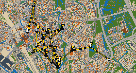
Utrecht is the map for this round, where the ball rolls across the actual city streets. The holes are built directly from real attractions, ending the game at the Rijn en Zon. A full 18-hole round covers 9.3 km and uses six portals to bridge the gaps between distant districts. Skip knows these pavements well, including the specific corners where the best crumbs fall. As a local guide, this pigeon has seen every inch of the walk from the air and the cobblestones.

9 HOLES - PAR 25

Tilburg

9 stops

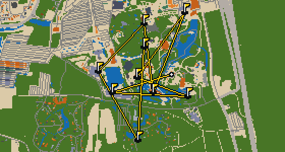
The final hole drops right into the Efteling. This round uses the real streets of Tilburg as a map, where the actual attractions provide the walls and obstacles for the ball. It is a quick 9-hole round with a par of 25, covering a walk of 4.5 km. Skip knows every cobblestone here and can show the way.

18 HOLES - PAR 58

Rotterdam

18 stops

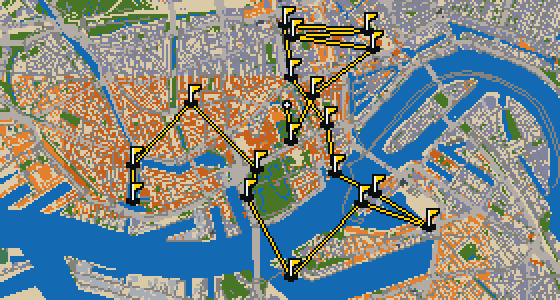
This is Rotterdam, where the map is the real city and the round is played on its actual streets. Real attractions like the Euromast are what the holes are built from, turning the city into a course. Skip is a local guide who knows the place and where the best crumbs are hidden. This full round of 18 holes covers 12.7 km and uses 60 portals to bridge the gaps between the distant landmarks.

9 HOLES - PAR 28

Nijmegen

9 stops

This is a quick nine-hole round through Nijmegen. The map is the real city and the ball rolls along its actual streets, using landmarks like the Jacobskapel to form the holes. Skip knows these pavements well enough to avoid the occasional crumb-stealing rival. The walk covers 5.5 km of the city center, where the real attractions provide the rails and the cups.

FAQ

Is it free to play?

Yes. Every course runs in the browser with no account and no install.

Do I need to be in the city?

No. The full round plays from anywhere. Walking the real route is a nice way to see the city, but it is not required.

Are the maps real?

Yes. The geometry comes from OpenStreetMap data, rendered chunky on purpose. Streets, water and parks sit where they really are.