
WINDSOR - 9 HOLES - FREE

WINDSOR
CITY MAP MINIGOLF

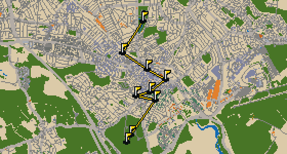
Windsor - 9 stops - par 28

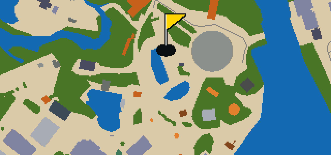
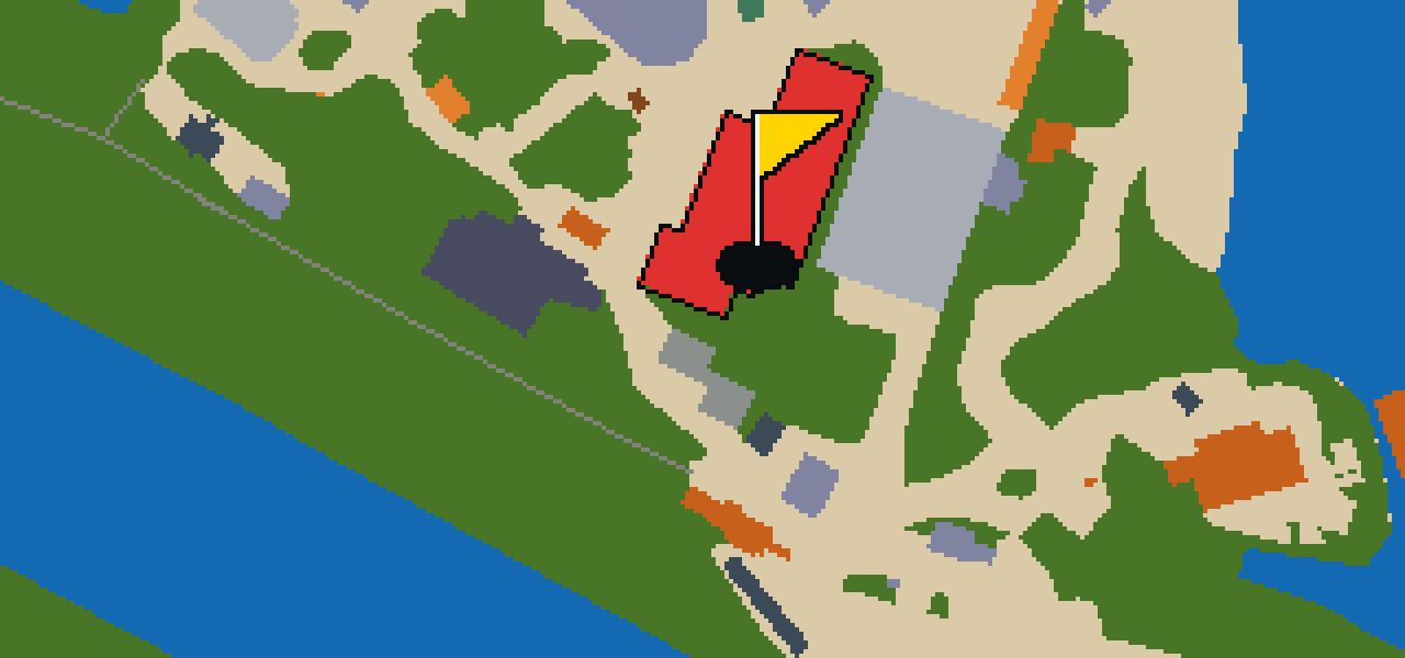
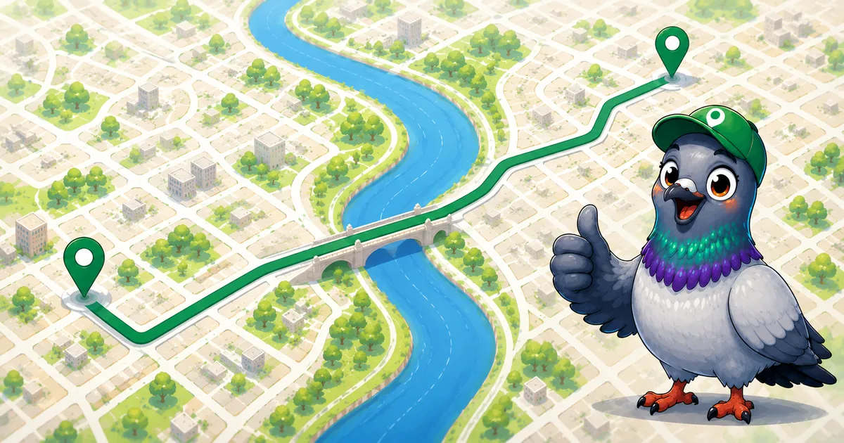
Windsor is the setting for this quick nine-hole round. The map follows the real city, with the ball rolling across actual streets and banking off the facades of local attractions like Thorpe Park. Six portals help the ball bridge the gaps over a 3.8 mi walk. Skip knows these pavements from a bird's eye view and will be the local guide.

Trouble loading? Open the game in its own tab.

HOW IT WORKS

01

Pick a city

The course is drawn on the real street grid, so the map you play is the map you walk.

02

Putt to the pin

Drag to aim, release to swing. Buildings bounce and water costs you a stroke.

03

Sightsee between strokes

Every hole ends at an attraction. Sink the putt, read the story, walk to the next tee.

THE WINDSOR ROUND - STOP BY STOP

HOLE 1 - PAR 4

Holy Trinity Church

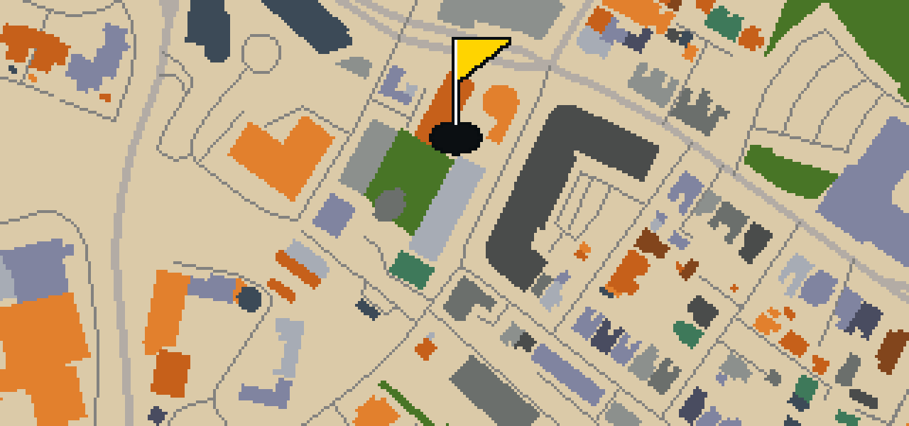
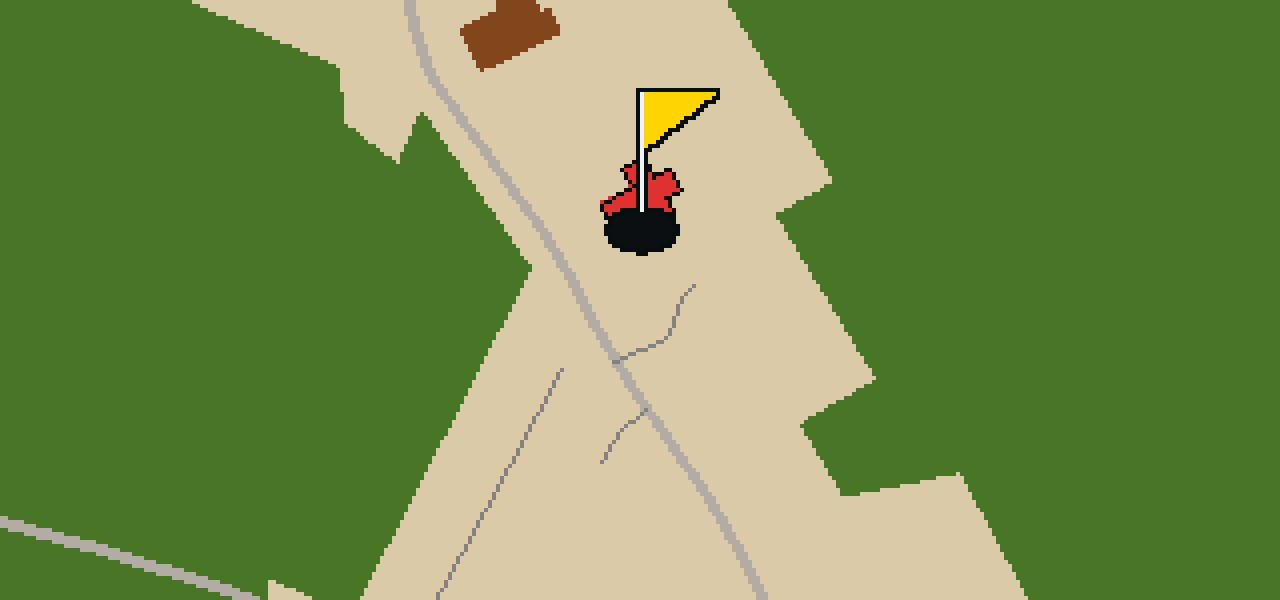
You will first notice the structure of Holy Trinity Church, which is a church building. This site is a Grade II listed building, a designation that recognizes its architectural or historical significance to the area. For those visiting Windsor, the building is a point of interest that reflects the local heritage and the enduring nature of the community's religious architecture. Whether you are passing through the streets or stopping specifically to see the site, the building provides a clear example of the listed structures found throughout the city. It is a place where visitors can observe the specific design and preservation efforts associated with Grade II status, making it a meaningful stop for anyone interested in the town's built environment.
Wikidata

HOLE 2 - PAR 3

Big Hat Bushcamp

HOLE 3 - PAR 4

Great Cockrow Railway

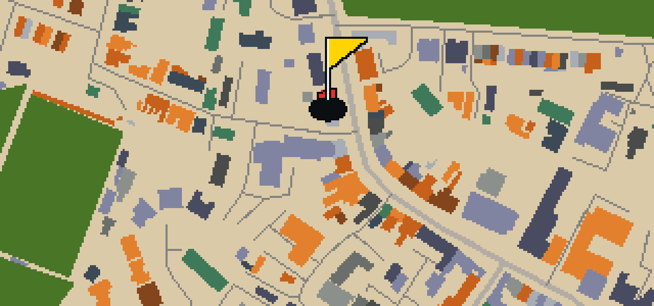
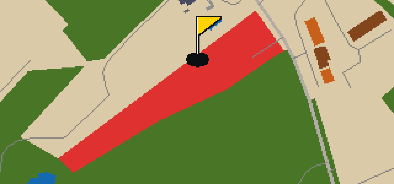
You might expect a major transit hub when you hear the word railway, but the Great Cockrow Railway is a rideable miniature railway. Located near Chertsey, Surrey, England, it offers a smaller scale of travel for those visiting the area. The tracks use a 7+1⁄4 in gauge, which makes the whole experience feel like a toy come to life. If you are planning a visit, keep in mind that the railway is usually open on Sunday afternoons from May to October inclusive. It is a wonderful spot to watch the world go by from a different perspective. I have seen a few of my pigeon friends try to hitch a ride on the roof, though the human passengers usually prefer the seats.

Wikidata · Wikipedia

HOLE 4 - PAR 3

Charles James Fox

HOLE 5 - PAR 4

Chertsey Museum

You will first notice the welcoming atmosphere of Chertsey Museum. It is a local museum that focuses on the history and heritage of the immediate area. The institution was founded in 1965 and continues to operate as a local authority museum. I always find that these smaller spots give you a much better sense of the neighborhood's personality than the giant galleries do. Whether you are interested in the specific artifacts of the region or just want a break from the bustle of the city, it is a reliable stop for any visitor wanting to understand the local roots of the community. It is a great place to slow down and see how the area has changed over the years since the museum first opened.

Wikidata

HOLE 8 - PAR 2

Depth Charge

HOLE 9 - PAR 4

Thorpe Park

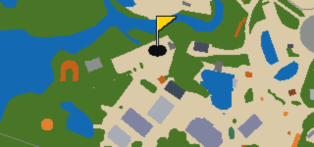
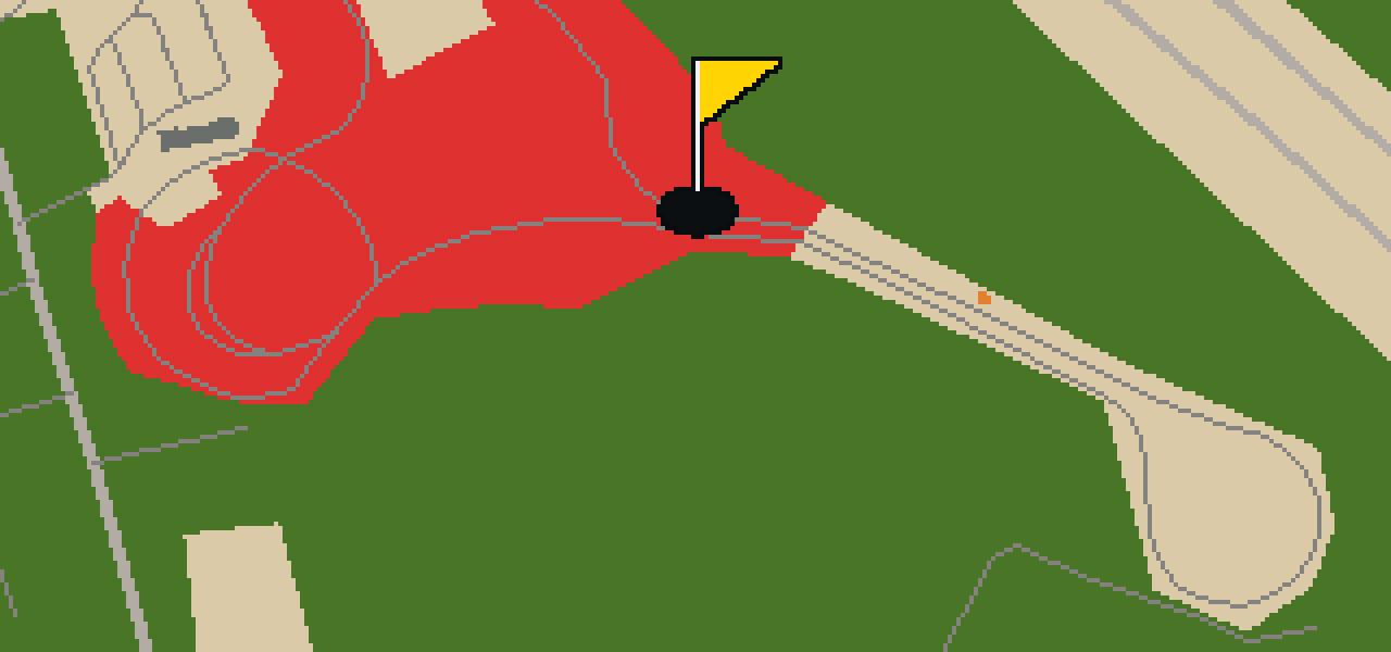
Let me show you Thorpe Park, an amusement park located in the village of Thorpe between the towns of Chertsey and Staines-upon-Thames in Surrey, England. It sits 20 miles west-southwest of Central London. While the area has a long history, the park has grown into a major destination, boasting Hyperia, which is the United Kingdom's tallest and fastest rollercoaster at over 236 feet and 129 km/h. It is currently operated by Merlin Entertainments. You can pick out the scale of the place by the crowds; it sees 1,620,000 annual visitors. In 2019, it was the third most visited theme park in the United Kingdom. I usually avoid the coasters myself, but the energy here is infectious.

Wikidata · Wikipedia

STOP 10

St Ann's Chapel

OTHER COURSES

9 HOLES - PAR 30

Wrekin

9 stops

Wrekin is the setting for this round, where the map is the real city and the ball rolls across its actual streets. The holes are built from real attractions like the Coalport China Museum. I know every nook of this place from a bird's eye view. It is a quick nine-hole round with a par of 30, covering a walk of 4.1 mi.

9 HOLES - PAR 26

Luton

9 stops

This is Luton. The map follows the real city and the round is played on its actual streets, using attractions like Wardown Park Museum as the basis for the holes. Skip knows these pavements well. It is a quick round of 9 holes with a par of 26, covering a 3.4 mi walk with 4 portals to bridge the gaps.

9 HOLES - PAR 29

Stoke-on-Trent

9 stops

Stoke-on-Trent is the setting for this round, with the ball rolling across the real city streets. The course is built from actual attractions, starting with a shot at Vale Park. This quick 9-hole round covers 3.7 mi and uses 2 portals to bridge the gaps. Skip is the local guide for these roads, provided a few crumbs are involved.

9 HOLES - PAR 28

Wolverhampton

9 stops

Banking a ball off the brickwork of the Black Country Living Museum feels different than anywhere else. This round takes place on the real streets of Wolverhampton, where the map is the city itself and the local attractions form the holes. Skip knows every crack in the pavement here. It is a quick round of 9 holes with a par of 28, covering 3.7 mi and using 6 portals to bridge the gaps.

9 HOLES - PAR 25

Kingston upon Hull

9 stops

This is Kingston upon Hull, where the map is the real city and the round is played on its actual streets. The holes are built from real attractions, including the Hull Minster. I know these roads well and am the local guide. It is a quick round of 9 holes with a par of 25, covering a 3 mi walk and using 2 portals.

FAQ

Is it free to play?

Yes. Every course runs in the browser with no account and no install.

Do I need to be in the city?

No. The full round plays from anywhere. Walking the real route is a nice way to see the city, but it is not required.

Are the maps real?

Yes. The geometry comes from OpenStreetMap data, rendered chunky on purpose. Streets, water and parks sit where they really are.