
SOUTHAMPTON - 9 HOLES - FREE

SOUTHAMPTON
CITY MAP MINIGOLF

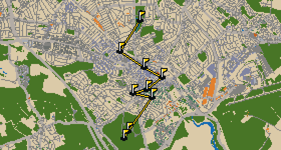
Southampton - 9 stops - par 29

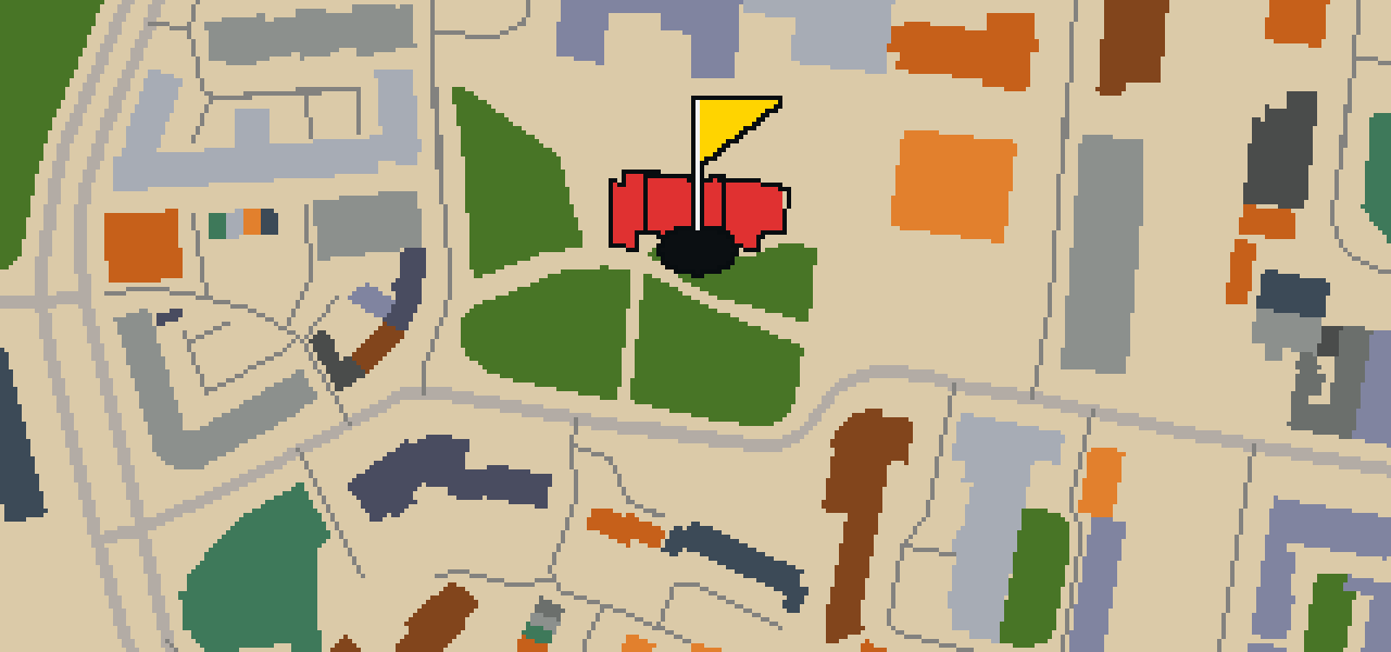
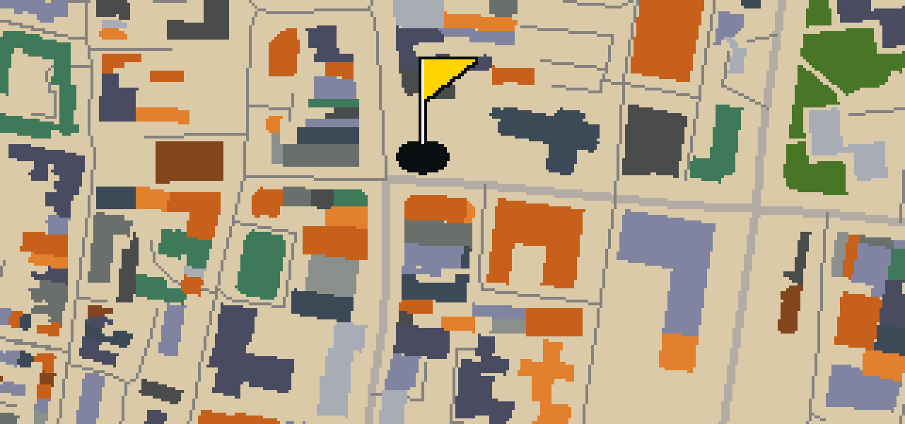
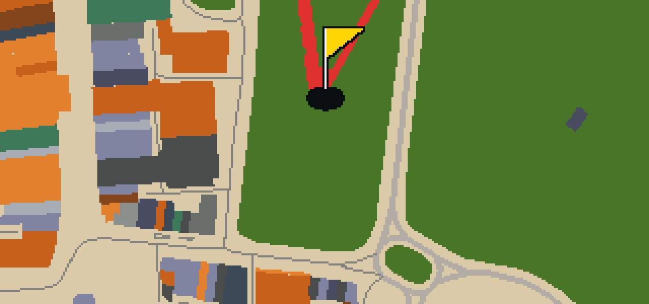
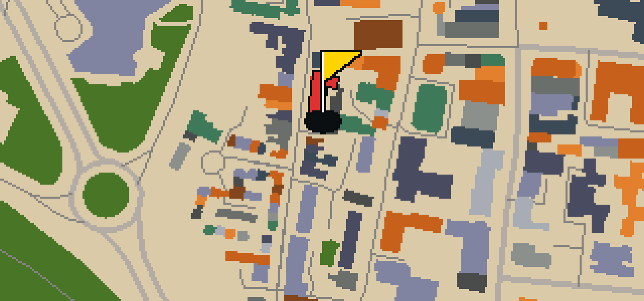
This is Southampton, where the map follows the real city and the round is played on its actual streets. The holes are built from real attractions, starting at St Edmund's Catholic Church. Skip knows these pavements well. It is a quick 9-hole round with a par of 29, covering a 3.4 mi walk and using 18 portals to skip across town.

Trouble loading? Open the game in its own tab.

HOW IT WORKS

01

Pick a city

The course is drawn on the real street grid, so the map you play is the map you walk.

02

Putt to the pin

Drag to aim, release to swing. Buildings bounce and water costs you a stroke.

03

Sightsee between strokes

Every hole ends at an attraction. Sink the putt, read the story, walk to the next tee.

THE SOUTHAMPTON ROUND - STOP BY STOP

HOLE 1 - PAR 3

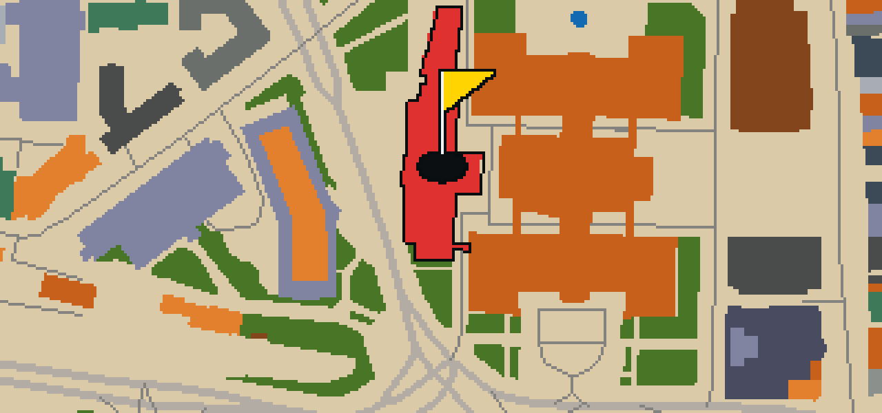
St Edmund's Catholic Church

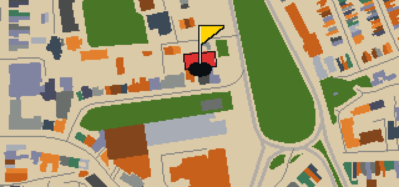
St Edmund's Catholic Church is a Roman Catholic parish church in Southampton, Hampshire. Construction on the building was started in 1889. You can find the church situated on the corner of The Avenue and Rockstone Place. The structure is built in the Gothic Revival style, which is visible in the architectural details of the facade. Because of its importance to the area's heritage and its specific design, the church is a Grade II listed building. It is a place of worship and a prominent landmark for those visiting the streets of Southampton. Whether you are passing by on The Avenue or stopping for a moment of reflection, the building's presence marks a significant point in the city's religious history.

Wikidata · Wikipedia

HOLE 3 - PAR 4

SeaCity Museum

The SeaCity Museum is located in Southampton, England, and is housed within a part of the Grade II* listed civic centre building. This maritime museum was designed by the architect WilkinsonEyre and opened on 10 April 2012. Inside, you can explore two permanent exhibitions that detail the history of the area. There is also a third space used for temporary exhibitions, which is located in a purpose-built pavilion extension to the civic centre. It is a great spot to get your bearings on the city's relationship with the ocean. I've noticed the pavilion extension is a particularly striking addition to the original civic architecture, providing a modern contrast to the listed structure that houses the rest of the museum's galleries.

Wikidata · Wikipedia

HOLE 5 - PAR 4

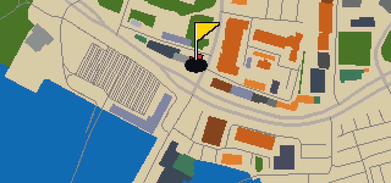
The Watergate Ruin

Let me show you the Watergate Ruin. These city walls and tower are some of the oldest structures you will find here, though they now stand as a ruin. Because of its historical importance, the site is protected as a scheduled monument. You can pick out the weathered stone and the way the structure has decayed over the centuries, which gives the spot a distinct atmosphere. It is a Grade I listed building, ensuring that what remains of the tower is preserved for everyone to see. I usually find that the textures of the old masonry are the most interesting part of the walk. It is a quiet spot to stop and think about the city's early defenses before you move on to the next part of the course.

Wikidata

HOLE 6 - PAR 3

Solent Sky

Solent Sky is an aviation museum located in Southampton. As an independent museum, it operates as a standalone entity within England to showcase the history and development of flight. You can explore the collection to see how aircraft design has changed and what these machines meant for the people who flew them. It is a place where the engineering of the past is kept intact for people to study and admire today. When you are walking among the exhibits, you can pick out the different shapes of the wings and the materials used in the fuselages. I usually find that the sheer size of the displays makes me feel quite small, which is a feeling I usually only get when I am staring up at a very tall statue from the pavement.

Wikidata · Wikipedia

HOLE 8 - PAR 3

Church of Holyrood

You will first notice the open shell of the Church of Holyrood. This former church building was built in 1320 and was one of the original five churches serving the old walled town of Southampton. During the blitz in November 1940, the structure was destroyed by enemy bombing. Rather than being fully rebuilt, the ruins were preserved as they stood. In 1957, the shell was dedicated as a war memorial to the sailors of the Merchant Navy. Visitors can see the remnants of the medieval walls and the space where the roof once sat, which now serves as a place of remembrance. Today, the site is recognized as a scheduled monument and is also a Grade II* listed building. It remains a significant part of the city's history, marking the impact of the war on the old walled town.

Wikidata · Wikipedia

HOLE 9 - PAR 3

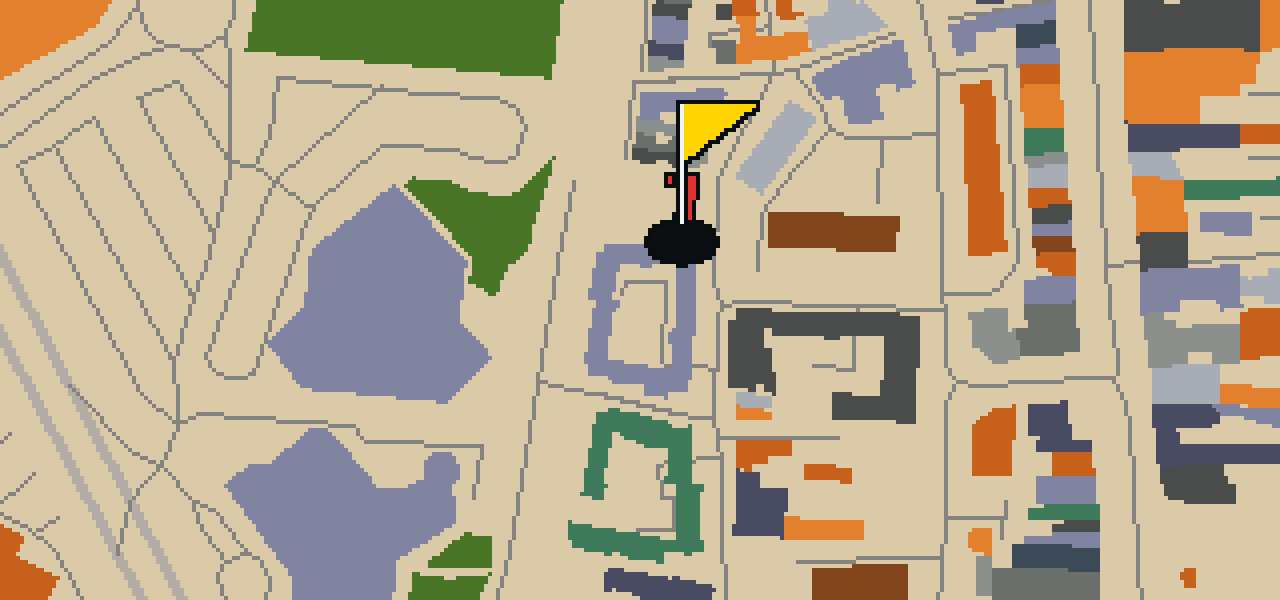
Houndwell Park

Let me show you Houndwell Park. This location is a park, providing a dedicated area of greenery within the city. It is a place designed for people to visit and spend time outdoors in a natural setting. I find that the open layout makes it a pleasant spot for a stroll. Whether you are looking for a bit of nature or just a place to stretch your legs, this park provides that space for everyone.

Wikidata

STOP 10

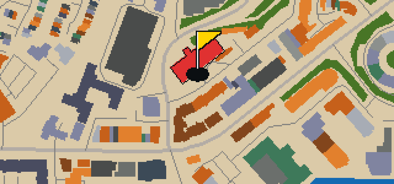
St Joseph's Catholic Church

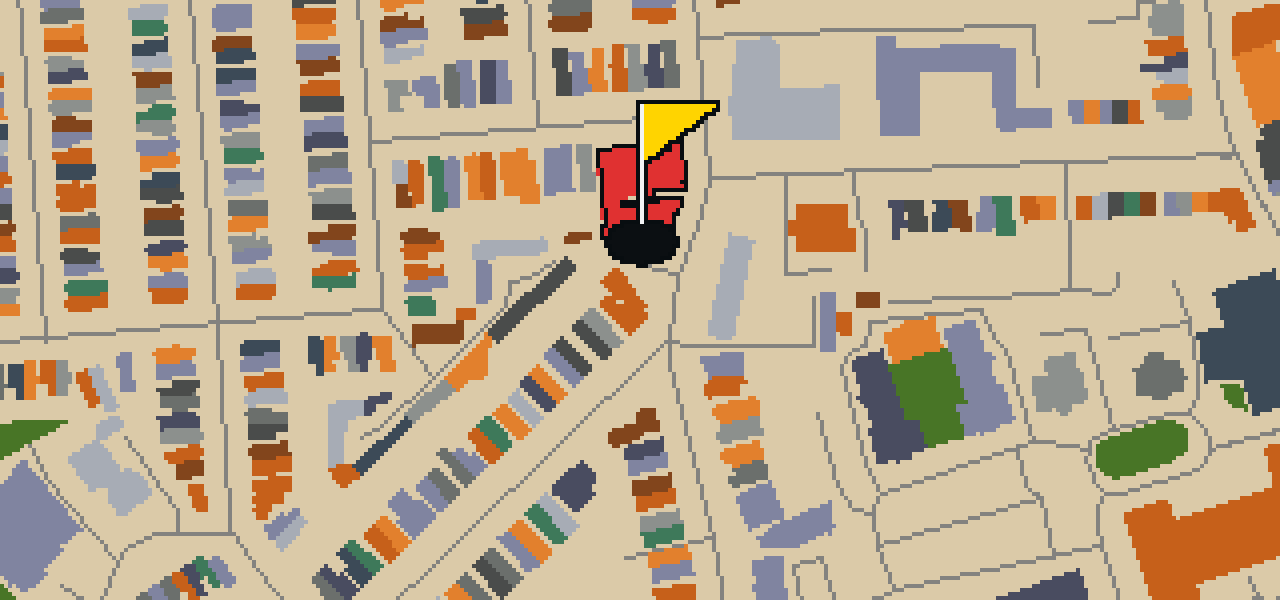
Augustus Pugin was the architect of St Joseph's Catholic Church, which he designed in the Gothic Revival style. This Roman Catholic parish church in Southampton, Hampshire, had its inception in 1845. Pugin also designed the church chancel, which was built in 1843. The building is recognized as a Grade II listed building. In 1882, St Joseph's Church served as the pro-cathedral of the Diocese of Portsmouth. Visitors can observe the specific details of the Gothic Revival style throughout the site. The church remains a significant point of interest in the city, reflecting the work of Pugin and the history of the Catholic faith in Hampshire. The chancel, completed before the inception of the main church building, provides a distinct example of the architect's vision for the space.

Wikidata · Wikipedia

OTHER COURSES

9 HOLES - PAR 30

Wrekin

9 stops

Wrekin is the setting for this round, where the map is the real city and the ball rolls across its actual streets. The holes are built from real attractions like the Coalport China Museum. I know every nook of this place from a bird's eye view. It is a quick nine-hole round with a par of 30, covering a walk of 4.1 mi.

9 HOLES - PAR 26

Luton

9 stops

This is Luton. The map follows the real city and the round is played on its actual streets, using attractions like Wardown Park Museum as the basis for the holes. Skip knows these pavements well. It is a quick round of 9 holes with a par of 26, covering a 3.4 mi walk with 4 portals to bridge the gaps.

9 HOLES - PAR 29

Stoke-on-Trent

9 stops

Stoke-on-Trent is the setting for this round, with the ball rolling across the real city streets. The course is built from actual attractions, starting with a shot at Vale Park. This quick 9-hole round covers 3.7 mi and uses 2 portals to bridge the gaps. Skip is the local guide for these roads, provided a few crumbs are involved.

9 HOLES - PAR 28

Wolverhampton

9 stops

Banking a ball off the brickwork of the Black Country Living Museum feels different than anywhere else. This round takes place on the real streets of Wolverhampton, where the map is the city itself and the local attractions form the holes. Skip knows every crack in the pavement here. It is a quick round of 9 holes with a par of 28, covering 3.7 mi and using 6 portals to bridge the gaps.

9 HOLES - PAR 25

Kingston upon Hull

9 stops

This is Kingston upon Hull, where the map is the real city and the round is played on its actual streets. The holes are built from real attractions, including the Hull Minster. I know these roads well and am the local guide. It is a quick round of 9 holes with a par of 25, covering a 3 mi walk and using 2 portals.

FAQ

Is it free to play?

Yes. Every course runs in the browser with no account and no install.

Do I need to be in the city?

No. The full round plays from anywhere. Walking the real route is a nice way to see the city, but it is not required.

Are the maps real?

Yes. The geometry comes from OpenStreetMap data, rendered chunky on purpose. Streets, water and parks sit where they really are.