
PLYMOUTH - 9 HOLES - FREE

PLYMOUTH
CITY MAP MINIGOLF

Plymouth - 9 stops - par 27

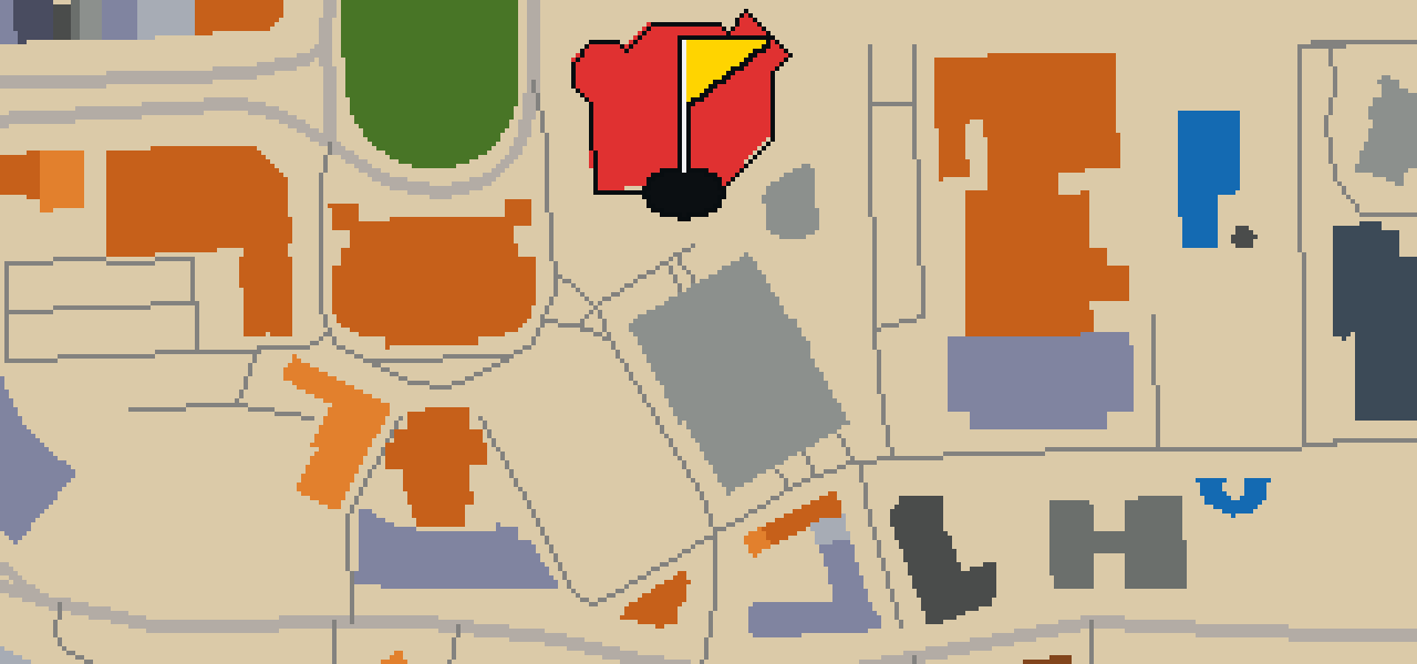
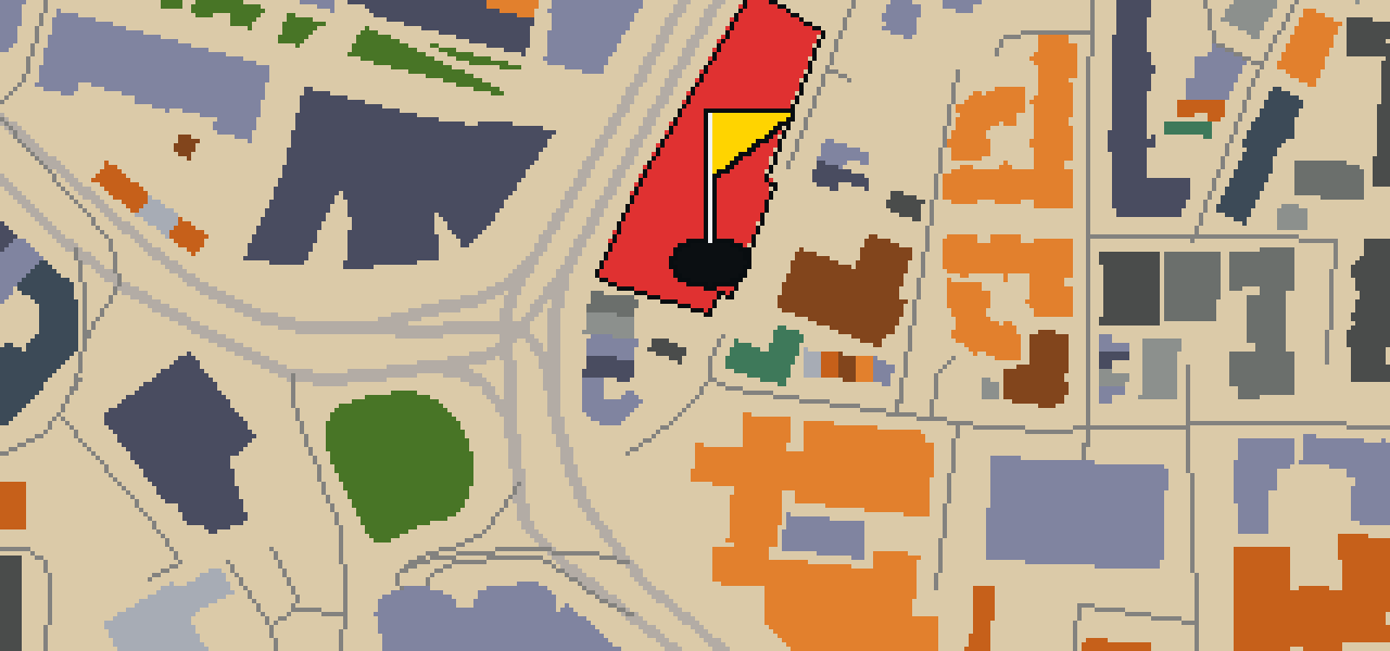
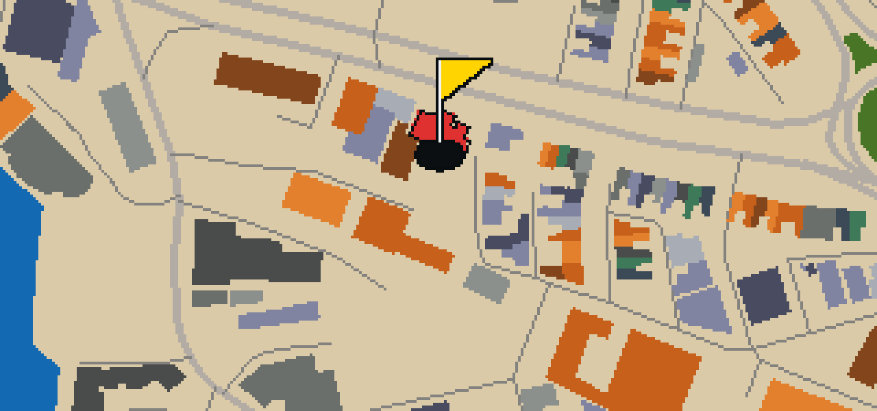
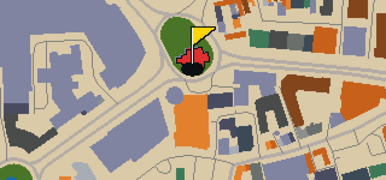
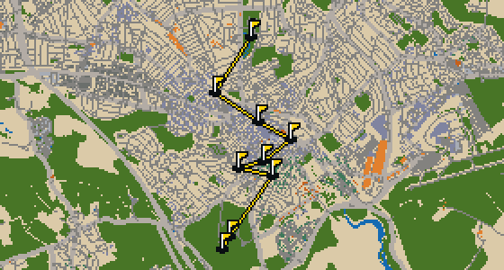
This is Plymouth. The map is the real city and the round is played on its real streets, using attractions like the Royal Citadel as the holes. It is a quick 9-hole round with a par of 27, covering a walk of 3.4 mi and using 40 portals. Skip is a local guide who knows these pavements well, even the bits where the crumbs are best.

Trouble loading? Open the game in its own tab.

HOW IT WORKS

01

Pick a city

The course is drawn on the real street grid, so the map you play is the map you walk.

02

Putt to the pin

Drag to aim, release to swing. Buildings bounce and water costs you a stroke.

03

Sightsee between strokes

Every hole ends at an attraction. Sink the putt, read the story, walk to the next tee.

THE PLYMOUTH ROUND - STOP BY STOP

HOLE 1 - PAR 2

Home Park

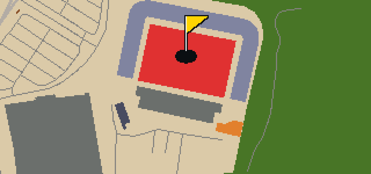
Let me show you Home Park, which you can find in the Milehouse area of Plymouth, Devon. This association football venue was established in 1893 and was designed by Barr Construction Ltd. While it is most famous as a football ground, the site was used for rugby and athletics. Between 1900 and 1903, the ground was used by Argyle Athletic club and Argyle F.C. Since 1903, it has been the home of Plymouth Argyle Football Club. If you look at the stands today, the stadium has a capacity of 17,900. I've seen a few footballs fly over the perimeter walls from my perch, but the real action happens inside on the pitch.

Wikidata · Wikipedia

HOLE 2 - PAR 4

Central Park

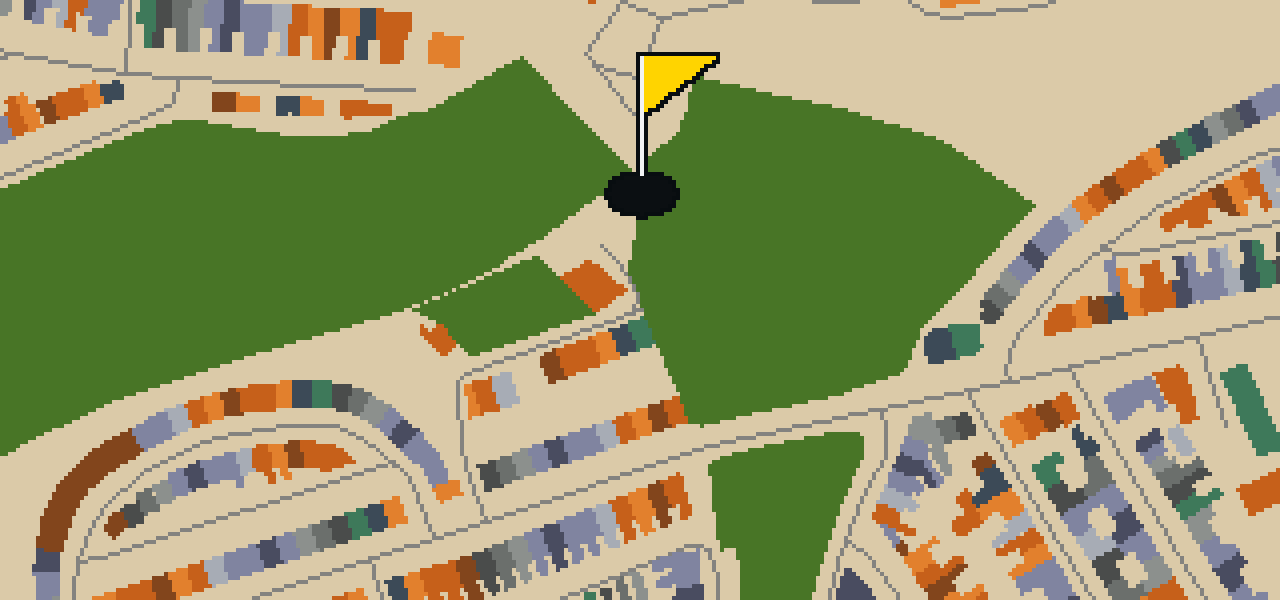
Sixty-eight hectares of open space make Central Park the largest park in Plymouth. You can find this expansive area situated to the north-east of the city centre in south-west Devon, England. It was created in 1928 with the primary aim to improve the health of the city's residents, providing a necessary breath of fresh air. Because the area is trust land, any developments on the land must be for the purpose of leisure activities. I have found it is a great spot to stretch your legs after a long walk through the city streets, though you have to keep an eye out for the other birds who think they own the place. Whether you are here for a stroll or just passing through on your way to the next hole, it is a significant piece of the city's layout.

Wikidata · Wikipedia

HOLE 3 - PAR 4

Railway viaduct

Let me show you the Railway viaduct. It is situated within the city and serves as a railway viaduct. When you look at the structure, you can pick out how it functions as a railway viaduct for the local transit. I've always found the scale of these crossings to be quite something.

Wikidata

HOLE 4 - PAR 3

Derry's clock

Let me show you Derry's Clock Tower, a free-standing clock tower located in the city of Plymouth, England. It is a piece of the city's history that has been officially recognized for its importance, as the tower is a Grade II listed building. When you are passing by, you can pick out the specific architectural details that earned it this protected status. I've always found that these taller landmarks make for the best navigation points when you're wandering the streets. Whether you are a history enthusiast or just passing through, this tower is a distinct presence in the urban environment. It is the kind of spot that helps you get your bearings before you continue your journey through the city, and it remains a key feature of the local streetscape for everyone to see.

Wikidata · Wikipedia

HOLE 5 - PAR 2

War Memorial

The War Memorial is a cenotaph and a war memorial. It is a Grade I listed building that was designed by architects Robert Lorimer and Edward Maufe. The inception of the memorial was in 1924. This site is a place of remembrance within the city, standing as a permanent tribute to those who served. Visitors can observe the architectural details provided by Lorimer and Maufe, which contribute to the solemn nature of the site. The memorial is recognized for its historical and architectural importance, which is reflected in its Grade I listing. As you approach the cenotaph, you can see how the structure is positioned to provide a space for reflection. It is a focal point for the community during times of remembrance and a significant landmark in the local landscape.

Wikidata · Wikipedia

HOLE 6 - PAR 3

Royal Citadel

You might expect just a scenic overlook here, but this is actually the Royal Citadel. Located in Plymouth at the eastern end of Plymouth Hoe, it is a fortification and an independent museum. This site is a scheduled monument that was designed by Sir Bernard de Gomme. While the Royal Citadel was built in the late 1660s, it had an inception in 1592. It is a place where the military architecture of the past meets the public's curiosity today. I have noticed that the high walls provide a great vantage point for watching the harbor, though I usually stick to the lower ledges to avoid the wind. Whether you are interested in the strategic layout of the defenses or the exhibits inside the museum, there is plenty to see here before you move on to the next hole.

Wikidata · Wikipedia

HOLE 7 - PAR 3

Plymouth Synagogue

The Plymouth Synagogue is a Grade II* listed building located on Catherine Street in the city of Plymouth, Devon, England. This site serves as an Orthodox Jewish synagogue and congregation for the local community. Also known as the Plymouth Hebrew Congregation, the congregation was formed in the 1740s. Those who worship here follow the Ashkenazi rite. It is a place of religious significance within the United Kingdom, providing a dedicated space for the Orthodox Jewish faith. Visitors to Catherine Street can identify the building by its listed status, which recognizes its architectural and historical value to the city of Plymouth. The site remains an active center for the Plymouth Hebrew Congregation as they continue to practice their faith in the Ashkenazi rite.

Wikidata · Wikipedia

HOLE 8 - PAR 3

The Box

Let me show you The Box. This building was created in 1907–1910 by Thornely and Rooke in Edwardian Baroque style. For a long time, the core of the building was Plymouth City Museum and Art Gallery, though that institution closed in 2016. Now, the site has been reimagined as a history museum that opened in 2020. You can pick out a massive variety of exhibits here, as the collection contains about 2 million items. It is a great spot to spend an afternoon exploring the local area and seeing how the city has changed. I've noticed that the architecture makes it a very sturdy landmark to aim for when you're rolling your ball down the street, which helps a lot with those tricky banks off the facade.

Wikidata · Wikipedia

HOLE 9 - PAR 3

St John the Evangelist

You will first notice the distinct architecture of St John the Evangelist, an Anglican parish church located in Plymouth, Devon, England. This church building is a Grade II listed building, recognized for its historical and architectural merit. It was built between 1851 and 1855. The design is the work of Benjamin Ferrey, who brought a specific influence to the project having been a pupil of Pugin. The building remains a significant point of interest for those visiting the parish and exploring the local heritage of the city. Its presence in the neighborhood provides a glimpse into the mid-nineteenth century religious architecture of the region, making it a noteworthy stop for anyone interested in the history of the English parish system and the pupils of the Gothic Revival movement.

Wikidata · Wikipedia

OTHER COURSES

9 HOLES - PAR 30

Wrekin

9 stops

Wrekin is the setting for this round, where the map is the real city and the ball rolls across its actual streets. The holes are built from real attractions like the Coalport China Museum. I know every nook of this place from a bird's eye view. It is a quick nine-hole round with a par of 30, covering a walk of 4.1 mi.

9 HOLES - PAR 26

Luton

9 stops

This is Luton. The map follows the real city and the round is played on its actual streets, using attractions like Wardown Park Museum as the basis for the holes. Skip knows these pavements well. It is a quick round of 9 holes with a par of 26, covering a 3.4 mi walk with 4 portals to bridge the gaps.

9 HOLES - PAR 29

Stoke-on-Trent

9 stops

Stoke-on-Trent is the setting for this round, with the ball rolling across the real city streets. The course is built from actual attractions, starting with a shot at Vale Park. This quick 9-hole round covers 3.7 mi and uses 2 portals to bridge the gaps. Skip is the local guide for these roads, provided a few crumbs are involved.

9 HOLES - PAR 28

Wolverhampton

9 stops

Banking a ball off the brickwork of the Black Country Living Museum feels different than anywhere else. This round takes place on the real streets of Wolverhampton, where the map is the city itself and the local attractions form the holes. Skip knows every crack in the pavement here. It is a quick round of 9 holes with a par of 28, covering 3.7 mi and using 6 portals to bridge the gaps.

9 HOLES - PAR 25

Kingston upon Hull

9 stops

This is Kingston upon Hull, where the map is the real city and the round is played on its actual streets. The holes are built from real attractions, including the Hull Minster. I know these roads well and am the local guide. It is a quick round of 9 holes with a par of 25, covering a 3 mi walk and using 2 portals.

FAQ

Is it free to play?

Yes. Every course runs in the browser with no account and no install.

Do I need to be in the city?

No. The full round plays from anywhere. Walking the real route is a nice way to see the city, but it is not required.

Are the maps real?

Yes. The geometry comes from OpenStreetMap data, rendered chunky on purpose. Streets, water and parks sit where they really are.