
DUNDEE - 9 HOLES - FREE

DUNDEE
CITY MAP MINIGOLF

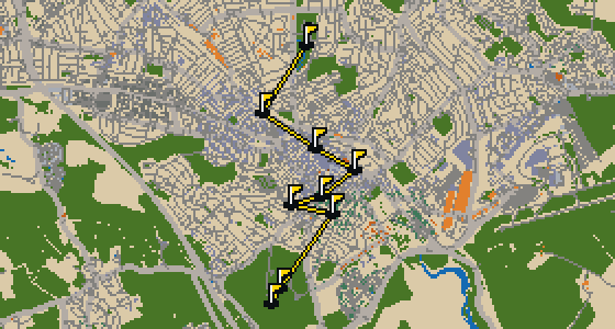
Dundee - 9 stops - par 27

The ball finishes its run at the HMS Unicorn. This round takes place on the real streets of Dundee, where the city map is the course and local attractions form the holes. Skip knows every corner of this 3.8 mi walk, which consists of a quick 9-hole round with a par of 27 and 8 portals for fast travel.

Trouble loading? Open the game in its own tab.

HOW IT WORKS

01

Pick a city

The course is drawn on the real street grid, so the map you play is the map you walk.

02

Putt to the pin

Drag to aim, release to swing. Buildings bounce and water costs you a stroke.

03

Sightsee between strokes

Every hole ends at an attraction. Sink the putt, read the story, walk to the next tee.

THE DUNDEE ROUND - STOP BY STOP

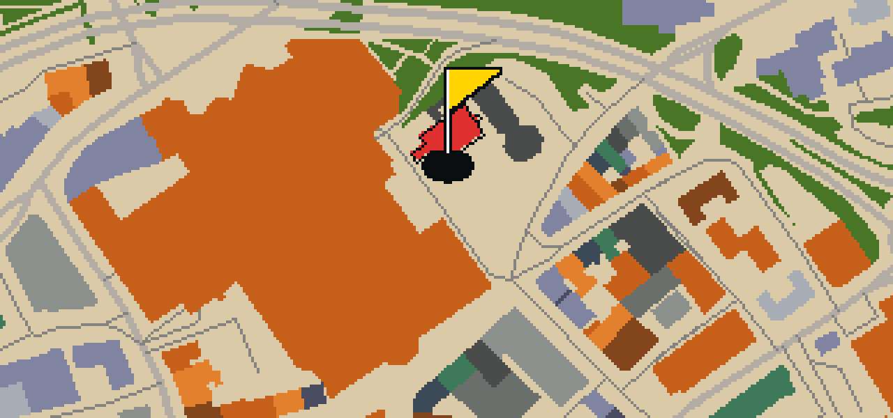
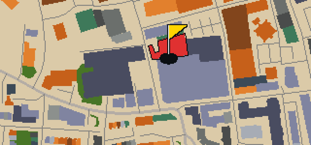
HOLE 1 - PAR 2

Tannadice Park

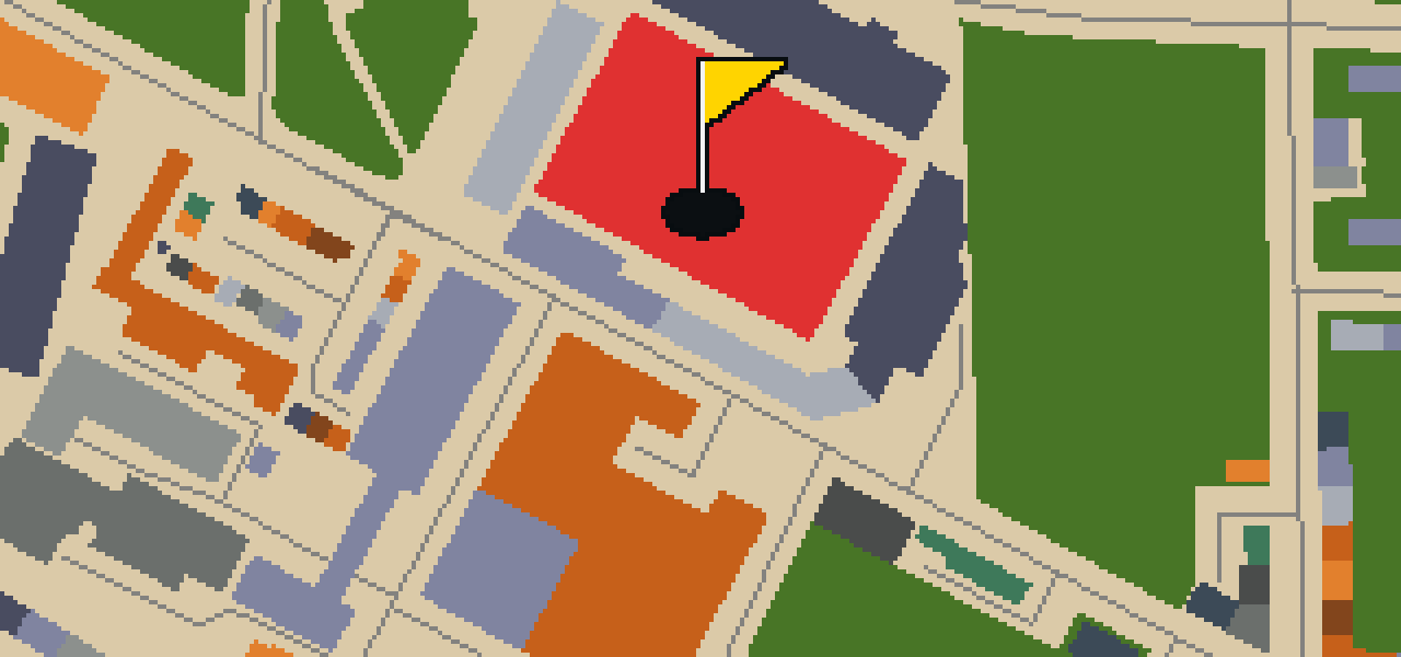
Dundee United have played at Tannadice Park since the club was founded as Dundee Hibernian in 1909. This association football venue in Dundee, Scotland, is officially known as The CalForth Construction Arena for sponsorship reasons. It is a key spot for local sports fans, though you might notice it sits in a very tight neighborhood. In fact, it is located only 200 yards from Dens Park, which is the stadium used by Dundee F.C. If you visit during a match, you will see a capacity of 14,223 people filling the stands. The stadium has been all-seated since 1994, making it a comfortable place to watch the game. I've seen plenty of excited crowds flocking here from the air, and the energy is always high when the home team takes the pitch.

Wikidata · Wikipedia

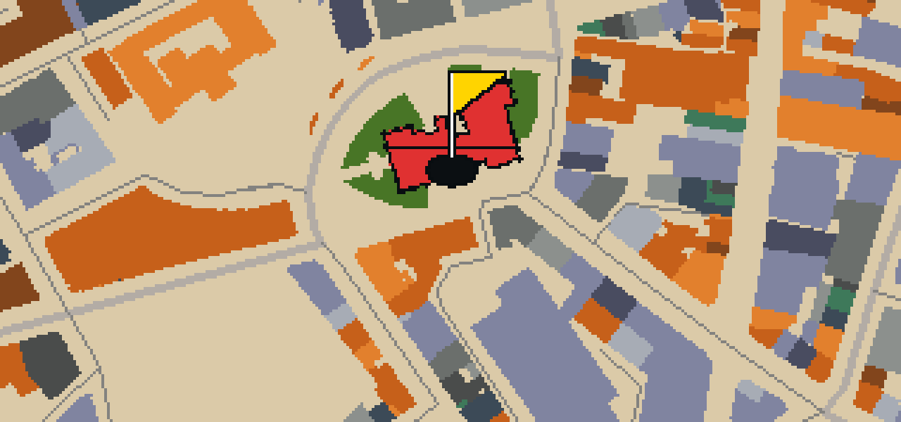
HOLE 2 - PAR 4

Dens Park

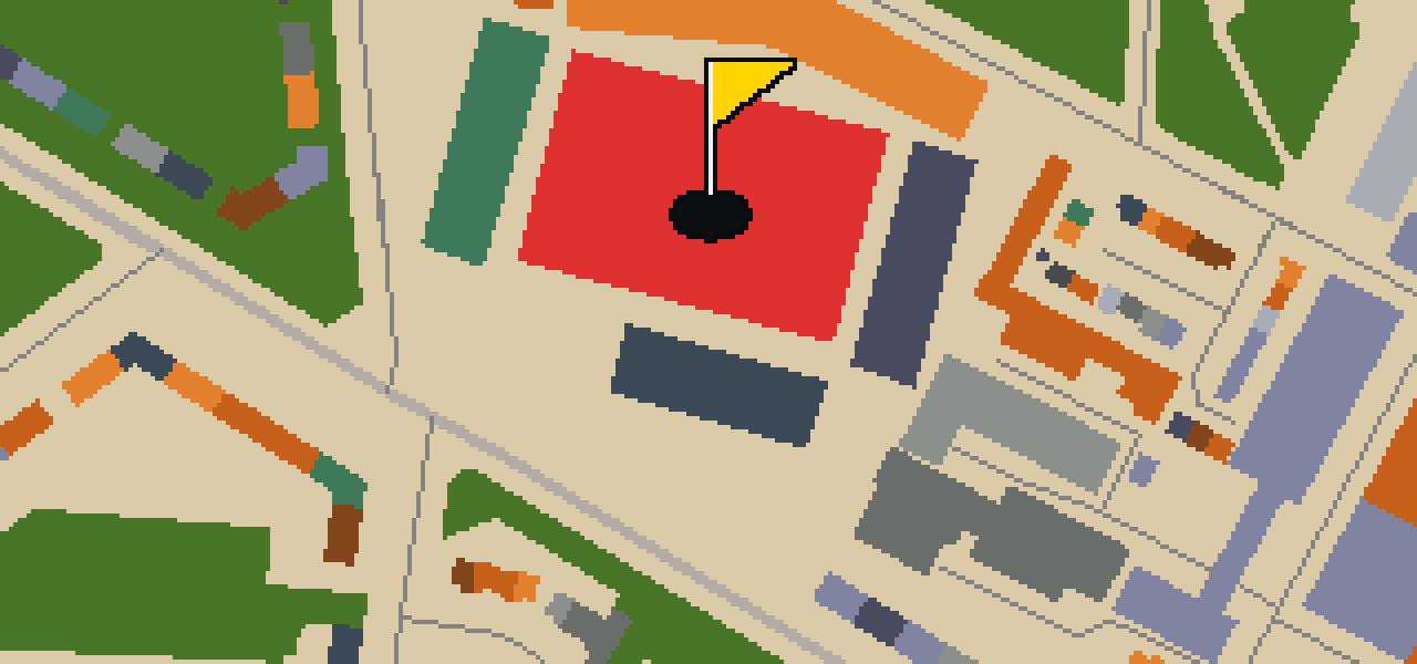
You will first notice the towering stands of Dens Park, an association football venue in Dundee, Scotland. It is the home of the Scottish Premiership club Dundee F.C. and can hold 11,775 people. The stadium was established in 1899, making it a long-standing part of the local sporting culture for over a century. If you look nearby, you can see that Tannadice Park is only 200 yards away from here. It is a rare layout to have two professional grounds so close to one another in the same neighborhood. I have seen plenty of passionate fans walking between the two on match days, though I usually stick to the rafters for a better view of the pitch and the crowds below.

Wikidata · Wikipedia

HOLE 3 - PAR 3

St Andrew's Parish Church

St Andrew's Parish Church is a church building. When you arrive, you will notice the structure is a category A listed building. This specific designation is used to identify buildings of national or regional importance, ensuring that the architectural integrity of the site is preserved. It is a significant landmark for anyone walking through this part of the city, regardless of whether they are visiting for spiritual reasons or simply exploring the local history. The building remains a focal point of the neighborhood, providing a sense of continuity and presence within the urban environment. As you navigate the streets around it, the church stands as a primary example of the city's preserved heritage and architectural standards.

Wikidata

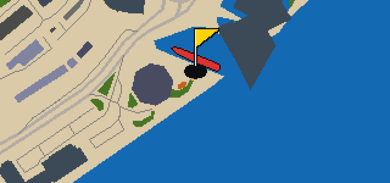
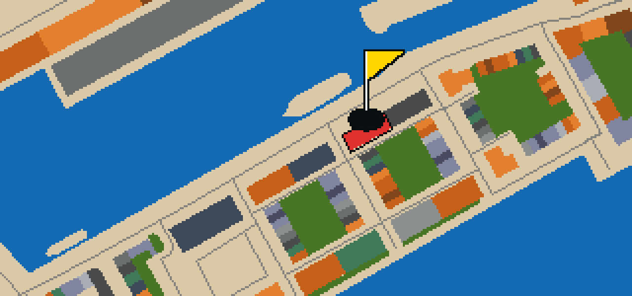
HOLE 4 - PAR 3

North Carr

North Carr is a preserved lightvessel. As the last remaining Scottish lightship, it stands as a unique piece of maritime history for you to explore. Construction on the vessel was started in 1932. When you look at the scale of the ship, you can pick out its specific dimensions: it is 101 feet in length and 25 feet in beam. The ship's total weight is 268 tons. I've seen plenty of ships in the harbor, but there is something distinct about the build of a lightship compared to the usual traffic. It is a sturdy piece of craft that once guided others through dangerous waters, and now it stays here as a testament to that old way of navigating the coast.

Wikidata · Wikipedia

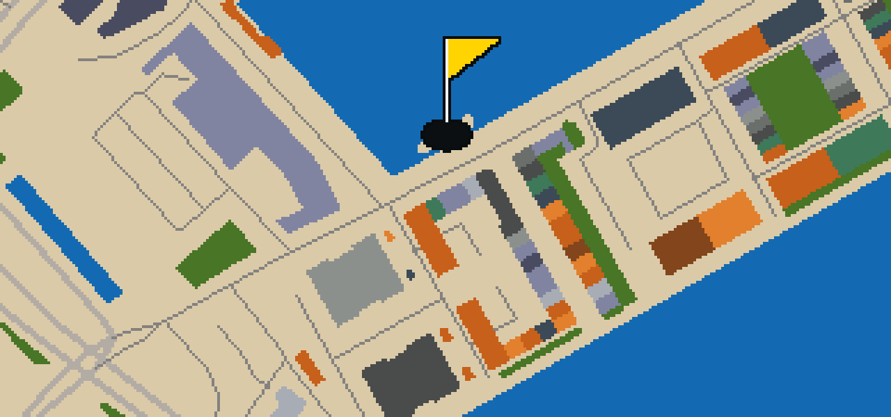
HOLE 5 - PAR 3

RRS Discovery

The RRS Discovery is a museum ship and a royal research ship. Built in Dundee, Scotland, it is a barque-rigged auxiliary steamship designed for Antarctic research. You can pick out its unique construction, as it was the last traditional wooden three-masted ship to be built in the United Kingdom. Launched in 1901, this survey vessel served as a vital tool for exploration. Its first mission was the British National Antarctic Expedition, where it functioned as a square-rigged ship navigating the frozen south. I've noticed the docks here are always a bit breezy, which feels appropriate for a vessel that spent its early years in the coldest place on earth. It is a wonderful piece of local history that still sits right where it began its journey.

Wikidata · Wikipedia

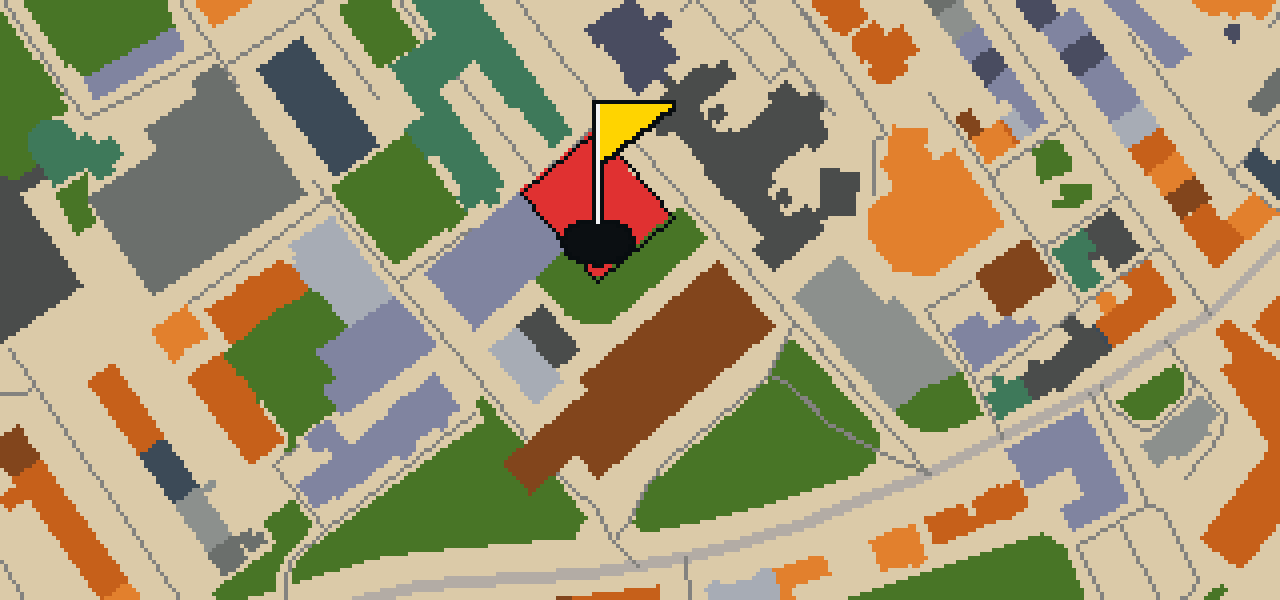
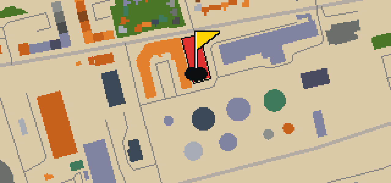
HOLE 6 - PAR 3

D'Arcy Thompson Zoology Museum

D'Arcy Thompson is the name behind this zoology museum, which began in 1880. You can find it today at the University of Dundee in Scotland. As a university museum, it houses a scientific collection that offers a look into the study of animals. I find it's a great spot to see how the university preserves its academic history. Whether you are a student or just visiting the city, the museum provides a glimpse into a specialized world of zoological study. It is a place where the university's scientific goals are physically present for the public to see. When you walk through the doors, you are stepping into a tradition of zoology that has persisted in this city for a long time.

Wikidata · Wikipedia

HOLE 7 - PAR 3

Verdant Works

Let me show you Verdant Works, located in the Blackness area of Dundee. This independent museum is housed in a former jute mill and is also known as Scotland's Jute Museum. It is a category A listed building that preserves the industrial character of the city. The Dundee Heritage Trust purchased the site in 1991, and the museum was founded in 1996. To mark the occasion, Prince Charles officially opened the buildings as a museum on 16 September 1996. You can pick out the scale of the old mill as you walk around the grounds. I've seen a few fellow pigeons roosting in the eaves of these old industrial walls.

Wikidata · Wikipedia

OTHER COURSES

9 HOLES - PAR 30

Wrekin

9 stops

Wrekin is the setting for this round, where the map is the real city and the ball rolls across its actual streets. The holes are built from real attractions like the Coalport China Museum. I know every nook of this place from a bird's eye view. It is a quick nine-hole round with a par of 30, covering a walk of 4.1 mi.

9 HOLES - PAR 26

Luton

9 stops

This is Luton. The map follows the real city and the round is played on its actual streets, using attractions like Wardown Park Museum as the basis for the holes. Skip knows these pavements well. It is a quick round of 9 holes with a par of 26, covering a 3.4 mi walk with 4 portals to bridge the gaps.

9 HOLES - PAR 29

Stoke-on-Trent

9 stops

Stoke-on-Trent is the setting for this round, with the ball rolling across the real city streets. The course is built from actual attractions, starting with a shot at Vale Park. This quick 9-hole round covers 3.7 mi and uses 2 portals to bridge the gaps. Skip is the local guide for these roads, provided a few crumbs are involved.

9 HOLES - PAR 28

Wolverhampton

9 stops

Banking a ball off the brickwork of the Black Country Living Museum feels different than anywhere else. This round takes place on the real streets of Wolverhampton, where the map is the city itself and the local attractions form the holes. Skip knows every crack in the pavement here. It is a quick round of 9 holes with a par of 28, covering 3.7 mi and using 6 portals to bridge the gaps.

9 HOLES - PAR 25

Kingston upon Hull

9 stops

This is Kingston upon Hull, where the map is the real city and the round is played on its actual streets. The holes are built from real attractions, including the Hull Minster. I know these roads well and am the local guide. It is a quick round of 9 holes with a par of 25, covering a 3 mi walk and using 2 portals.

FAQ

Is it free to play?

Yes. Every course runs in the browser with no account and no install.

Do I need to be in the city?

No. The full round plays from anywhere. Walking the real route is a nice way to see the city, but it is not required.

Are the maps real?

Yes. The geometry comes from OpenStreetMap data, rendered chunky on purpose. Streets, water and parks sit where they really are.