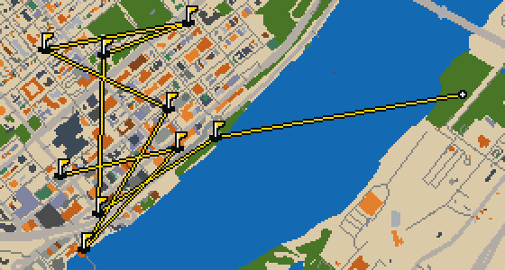
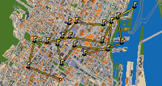
Laval - 9 stops - par 26
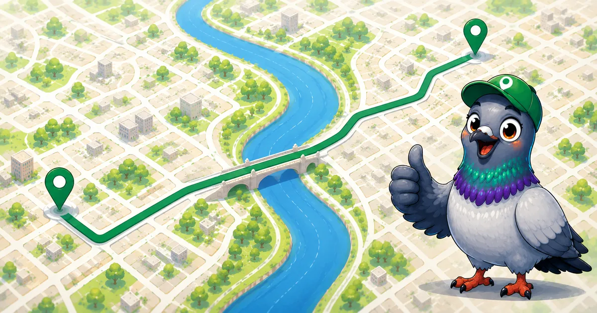
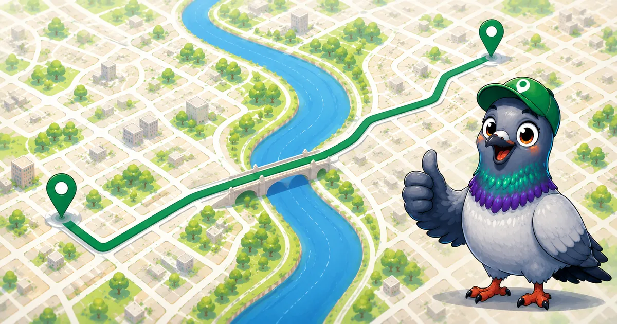
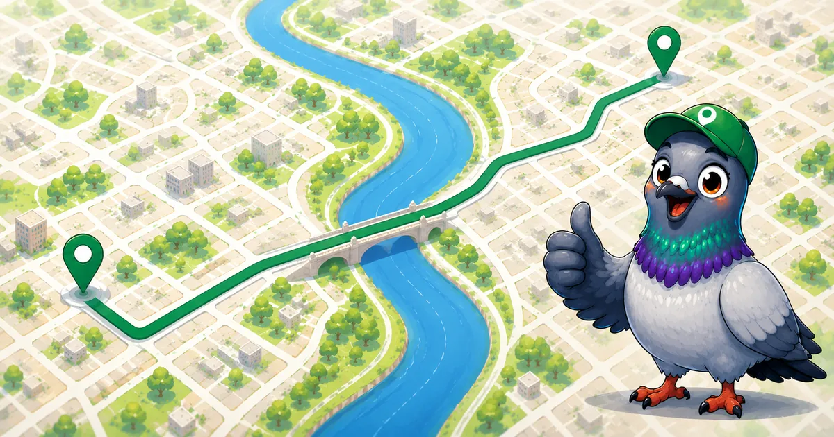
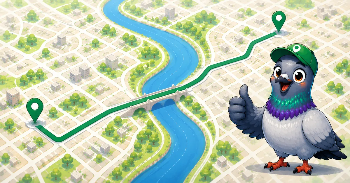
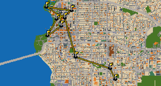
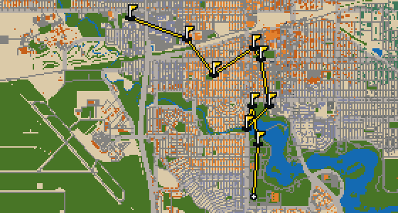
Laval is the setting for this round, where the map is the real city and the ball rolls across its actual streets. Real attractions, such as the Montreal City West Baptist Church, are what the holes are built from. Skip is a local guide who knows every corner of the place. This quick 9-hole round covers 5.3 km with a par of 26 and uses 32 portals.
The course is drawn on the real street grid, so the map you play is the map you walk.
Drag to aim, release to swing. Buildings bounce and water costs you a stroke.
Every hole ends at an attraction. Sink the putt, read the story, walk to the next tee.
You will first notice the dedication to craft at the Musée des maîtres et artisans du Québec. This site is a museum that highlights the skill of local creators. When you visit, you can see how it also functions as an exhibition space for these works. I find the atmosphere here quite inspiring for anyone who appreciates handmade art.
When you first arrive at Parc Decelles, the shift from pavement to open green space is the first thing you will notice. It is an urban park that offers a place to breathe and relax away from the noise of the traffic. Whether you are visiting Laval for the first time or you live here, these grounds provide a necessary spot for outdoor leisure. I find it is a great place to stretch your legs before heading back into the urban bustle.
Located within the city, Parc Harris is a park. It is a spot where you can find a bit of nature and open air while you are out and about. I find it is a nice place to stretch your wings and watch the world go by for a while.
Let me show you Parc Cousineau. This spot is an urban park, providing a dedicated space for nature and recreation within the city. Whether you are visiting for the first time or just passing through on your way to another landmark, it is a place to appreciate the greenery. I find that the open spaces make it a great spot for people-watching while you stretch your legs.
Let me show you Parc Petit. This location is an urban park, providing a designated area of greenery for people to visit and enjoy within the city limits. It is a spot where you can take a break from the pavement and spend some time outdoors. I've noticed it is a nice place to stretch your wings.
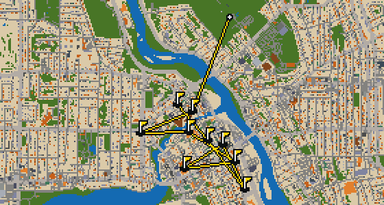
This is Sherbrooke. The map is the real city and the round is played on its real streets, using local attractions like Parc Victoria as the holes. Skip knows these streets by heart. It is a quick 9-hole round with a par of 28, covering a 5.6 km walk that uses 2 portals.
This is Kelowna. The map is the real city and the round is played on its real streets, with the holes built from attractions like the Rotary Centre for the Arts. Skip knows these blocks well. It is a quick round of 9 holes with a par of 27, covering a walk of 5.5 km.
Banking a ball off the stone facades of St. Paul's Cathedral requires a soft touch. This round takes place on the real streets of Regina, where the city map is the course and local attractions form the holes. It is a quick 9-hole round covering 6.5 km, with a couple of portals to speed things along. Skip knows every curb and crack in the pavement here.
This is a quick nine-hole round through Burnaby. The map is the real city and the ball rolls along its actual streets, banking off building facades toward holes built from real attractions like The Columbia. Six portals help bridge the gaps across the 5.3 km walk. Skip is a local guide who knows these sidewalks well, even the crumbs hidden in the corners.
Longueuil is the setting for this round, with the map following the real city and the ball rolling across its actual streets. The holes are built from real attractions, starting at the Centre Bell. Skip knows every crack in the pavement here. It is a full round of 18 holes with a par of 57, covering a walk of 11.4 km. The ball uses 126 portals to bridge the gaps between the landmarks.
Yes. Every course runs in the browser with no account and no install.
No. The full round plays from anywhere. Walking the real route is a nice way to see the city, but it is not required.
Yes. The geometry comes from OpenStreetMap data, rendered chunky on purpose. Streets, water and parks sit where they really are.